07/28/2017
Legs are tired this morning... still climbing
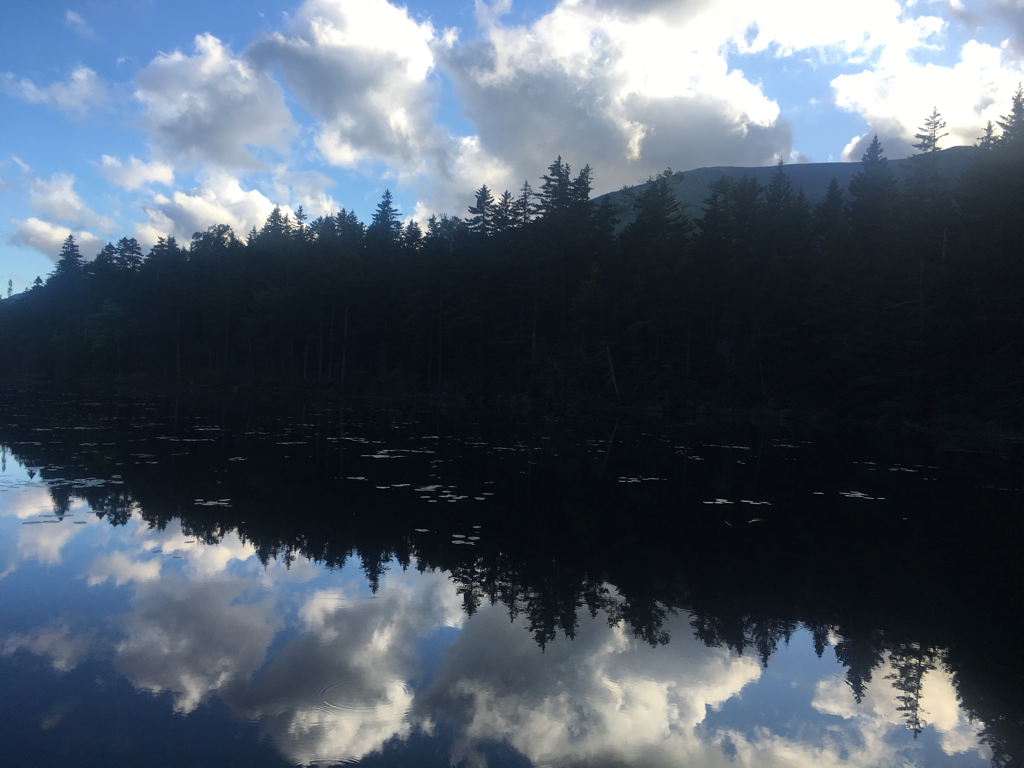
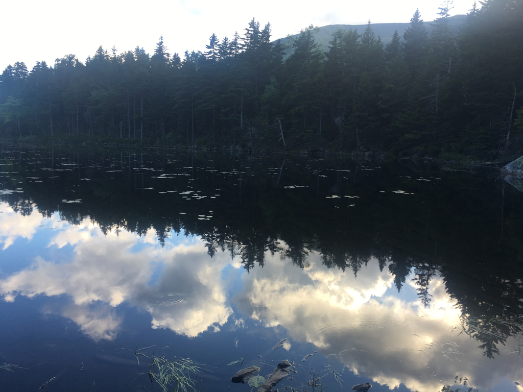
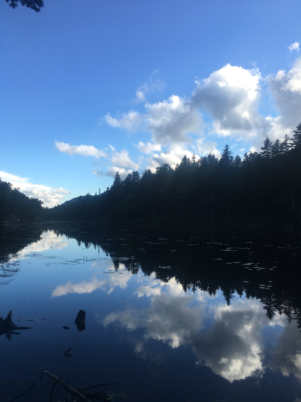
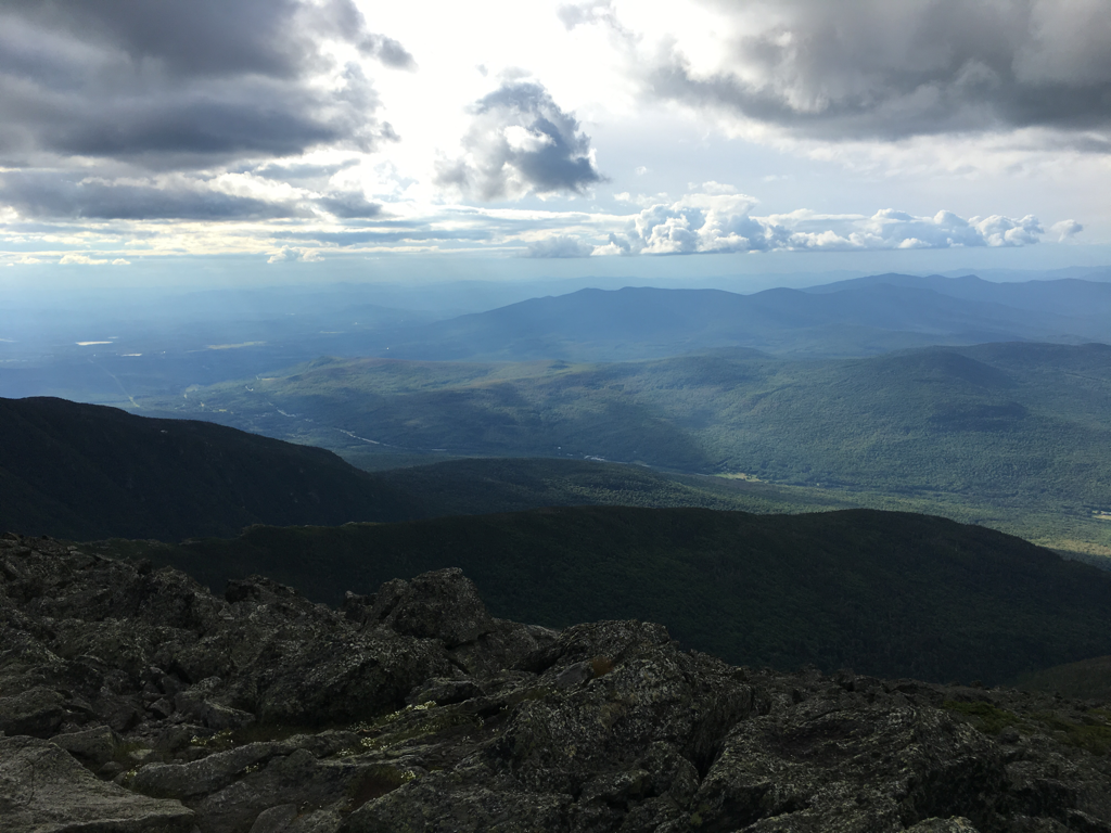
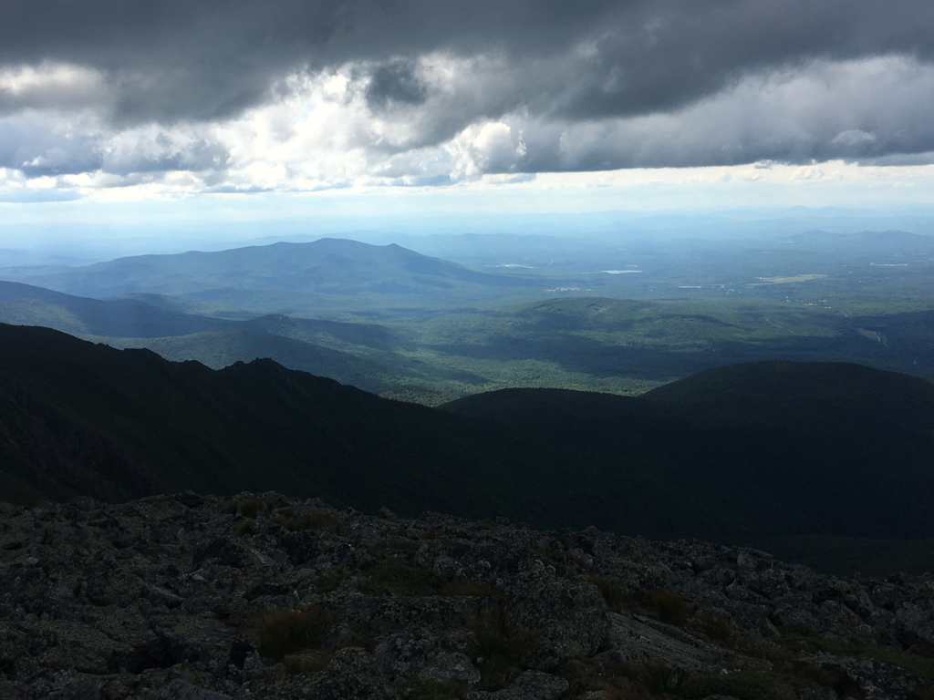
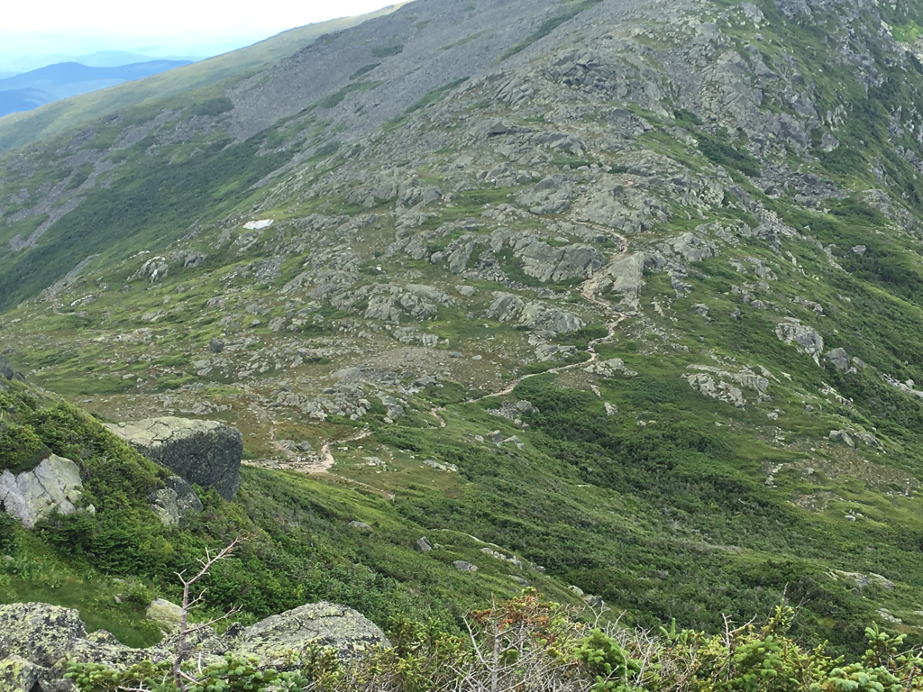
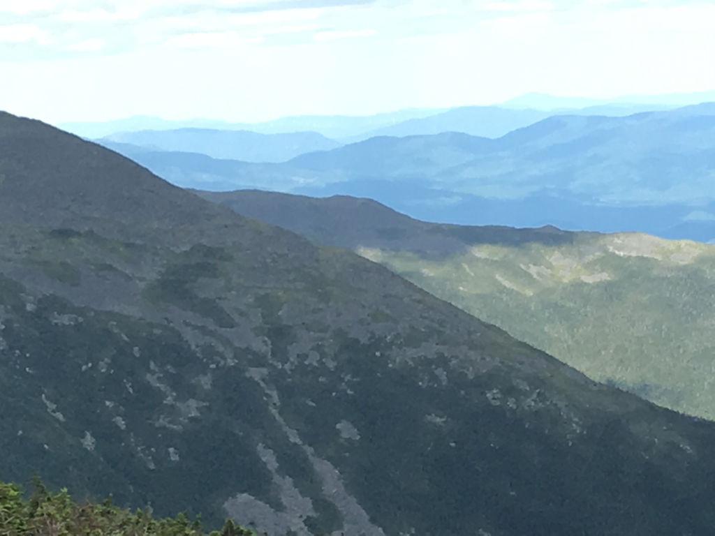
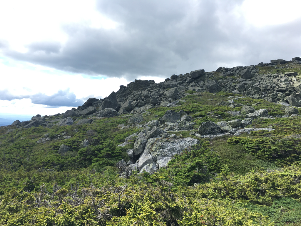
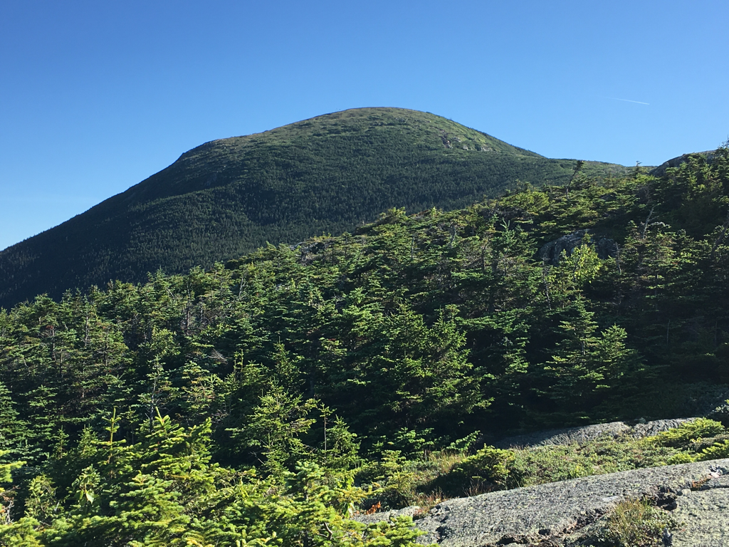
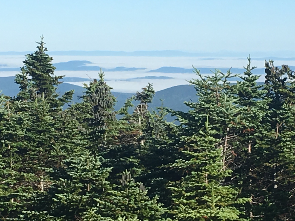
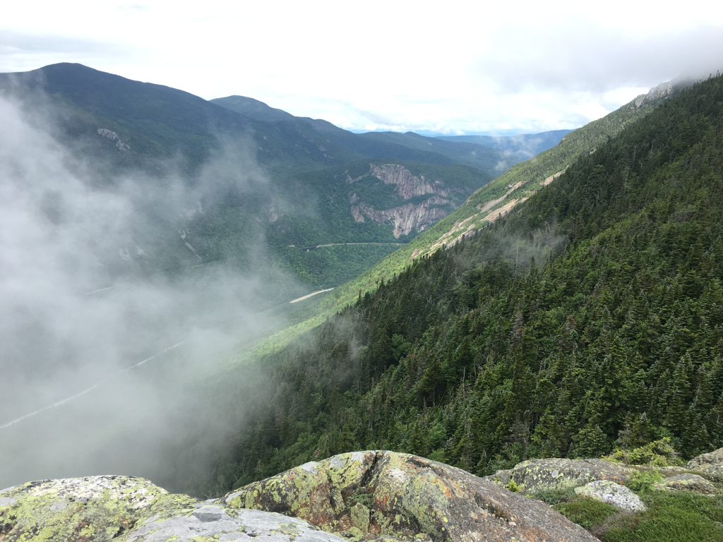
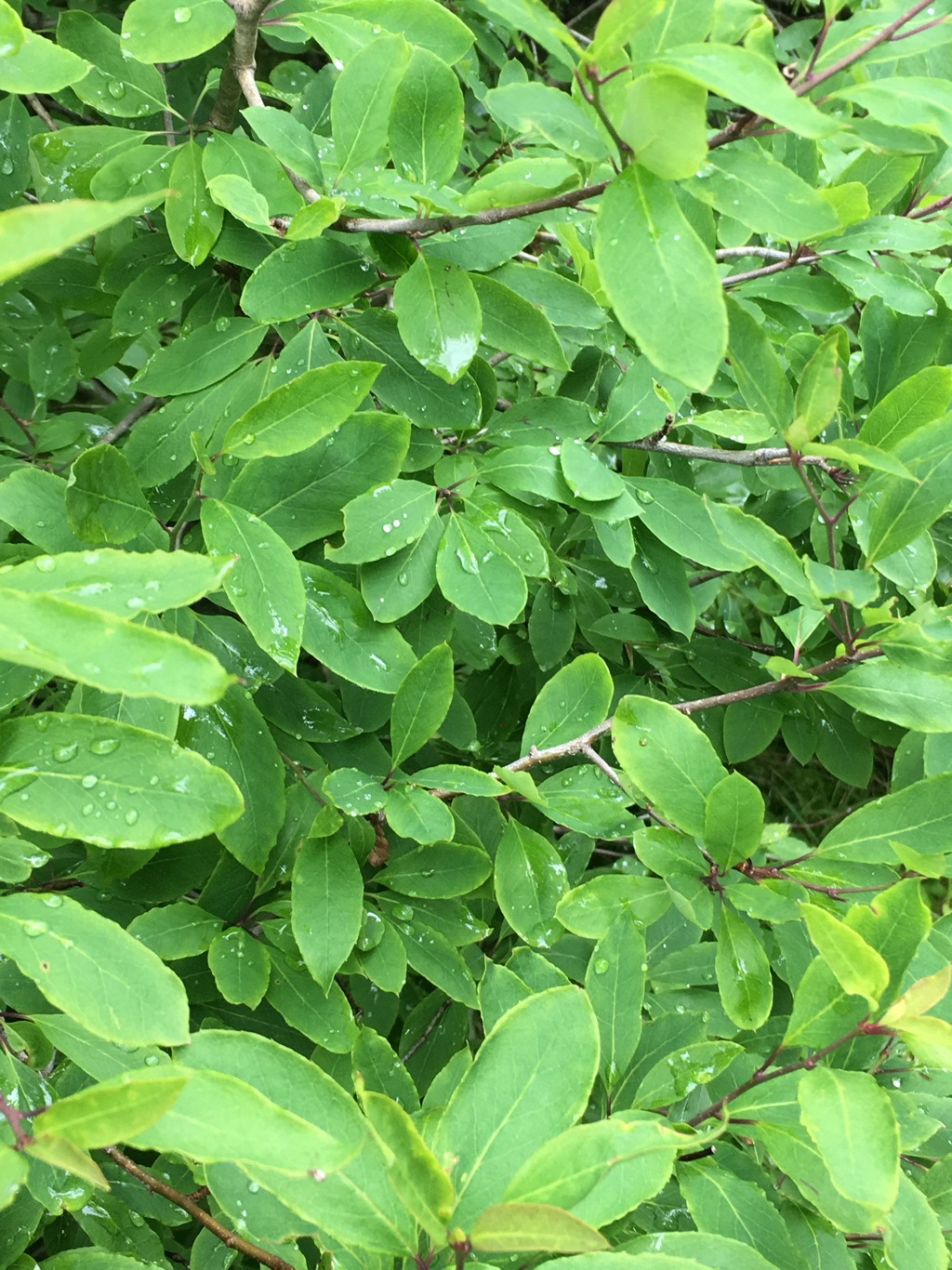
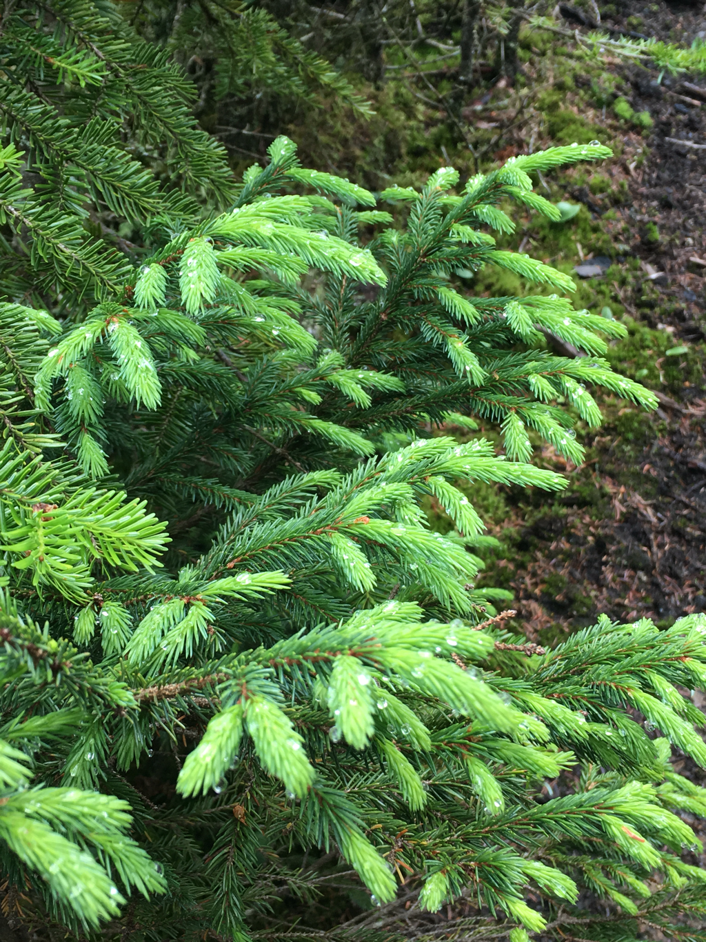
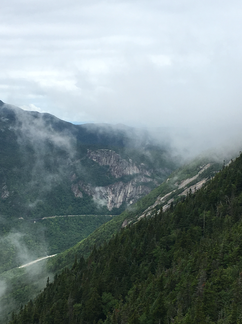
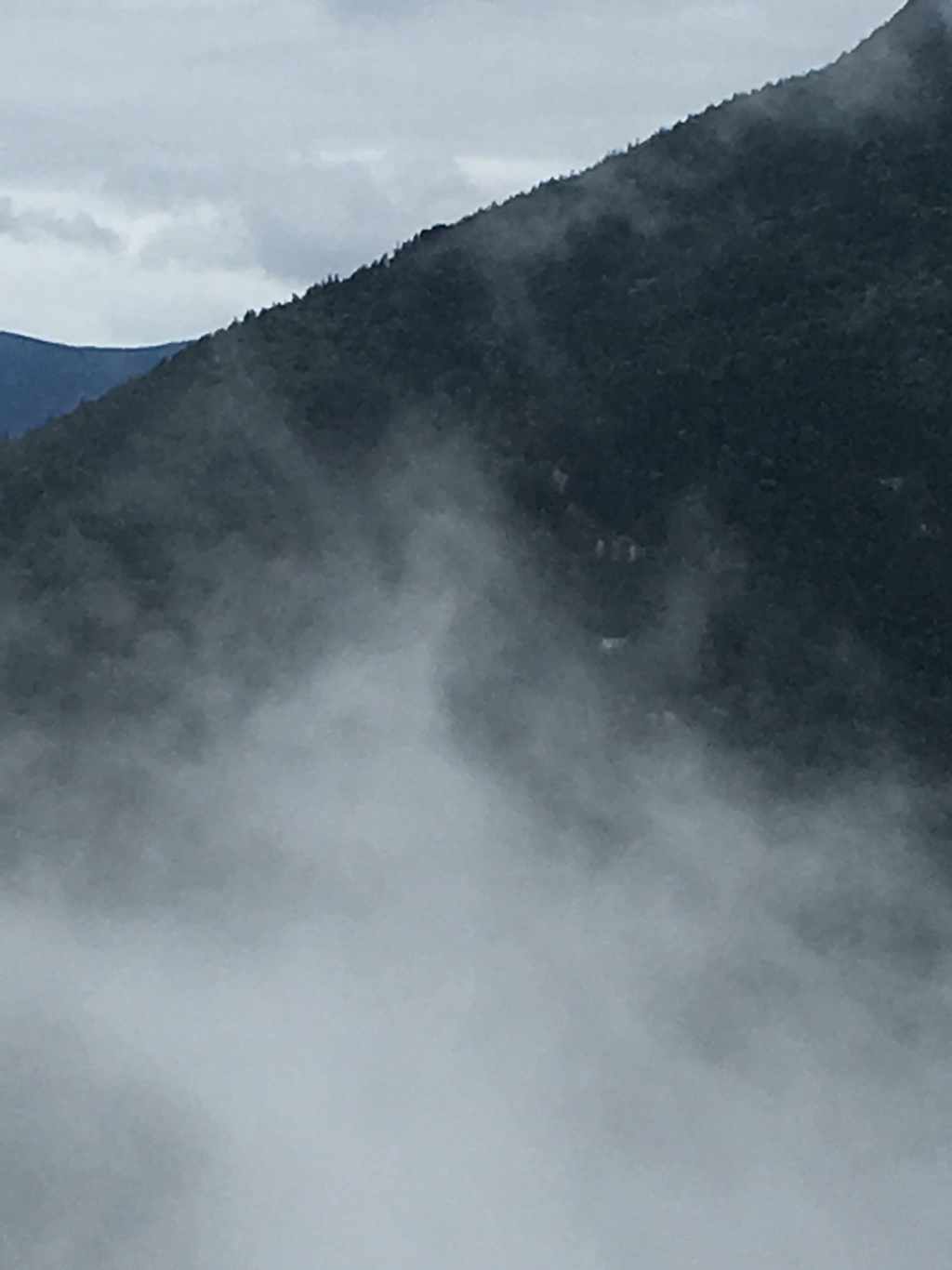
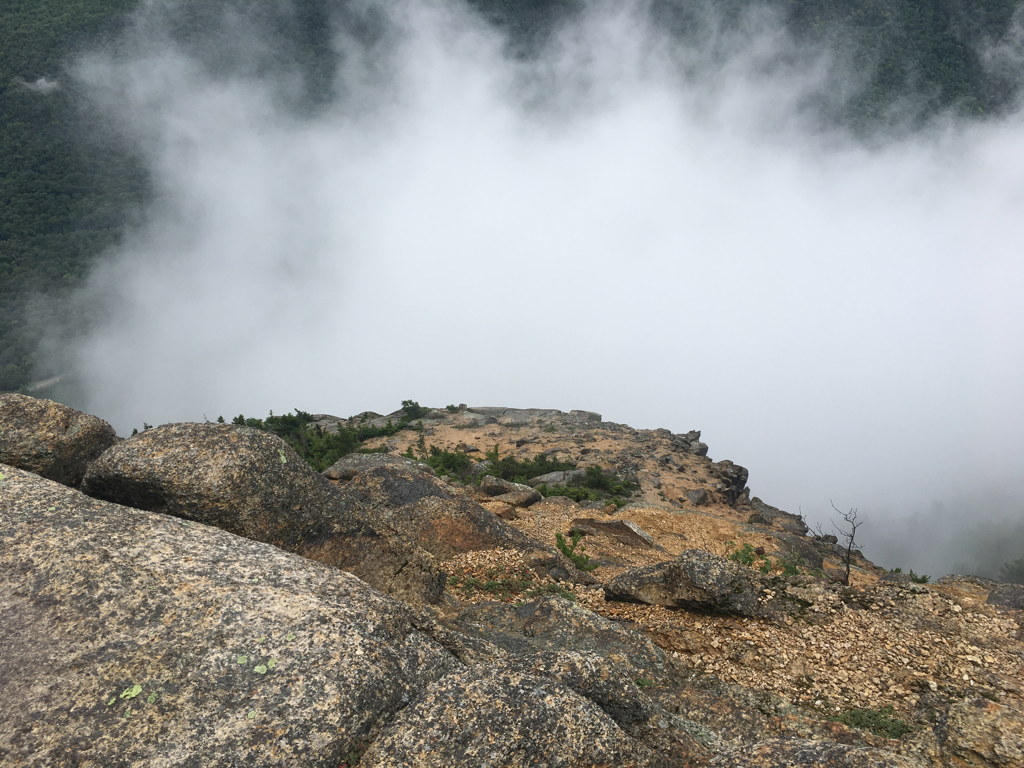
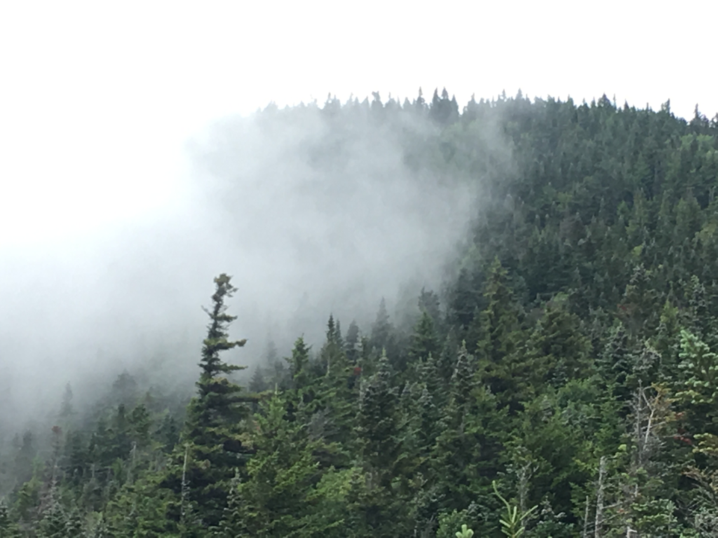
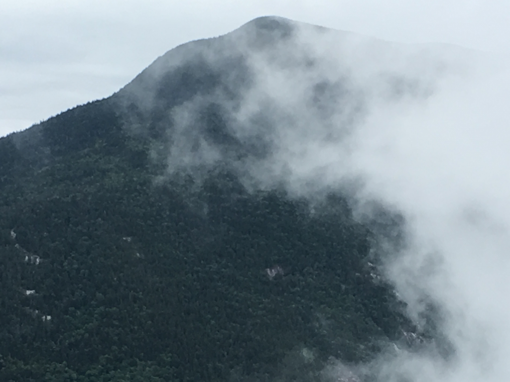
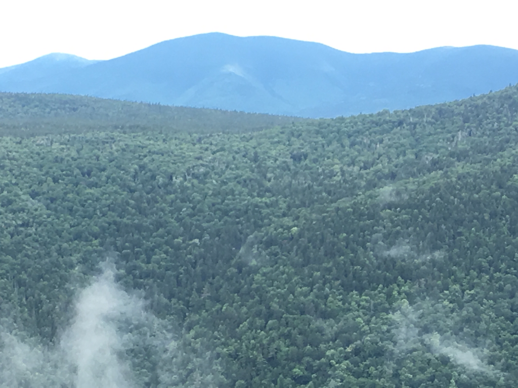
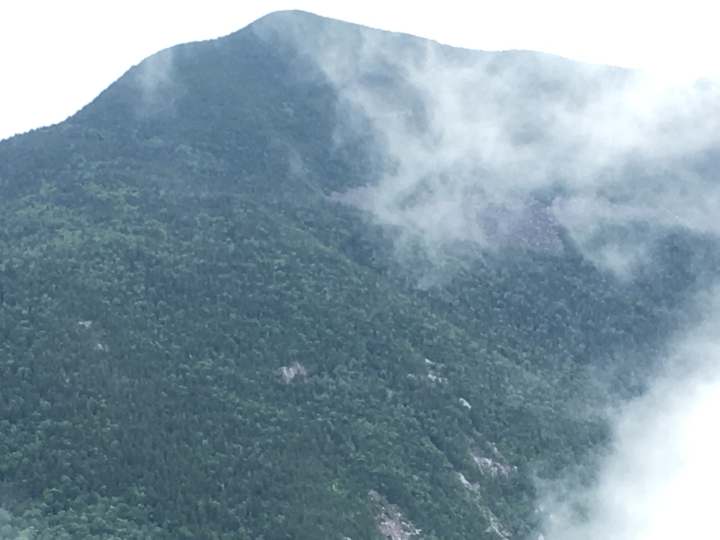
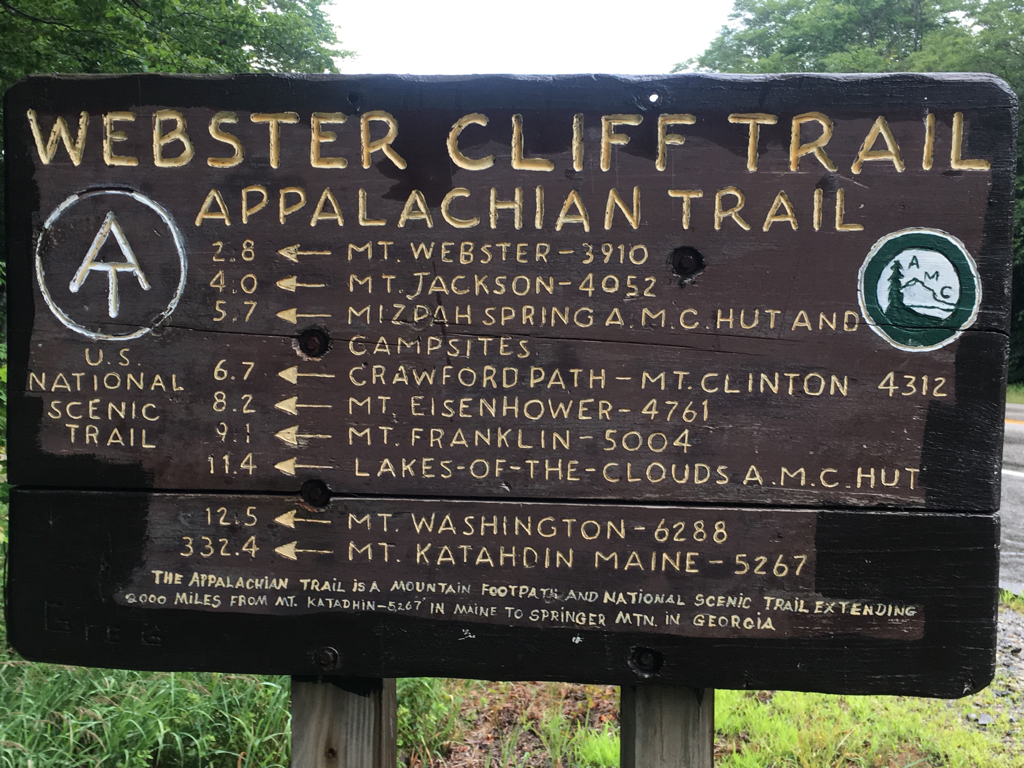
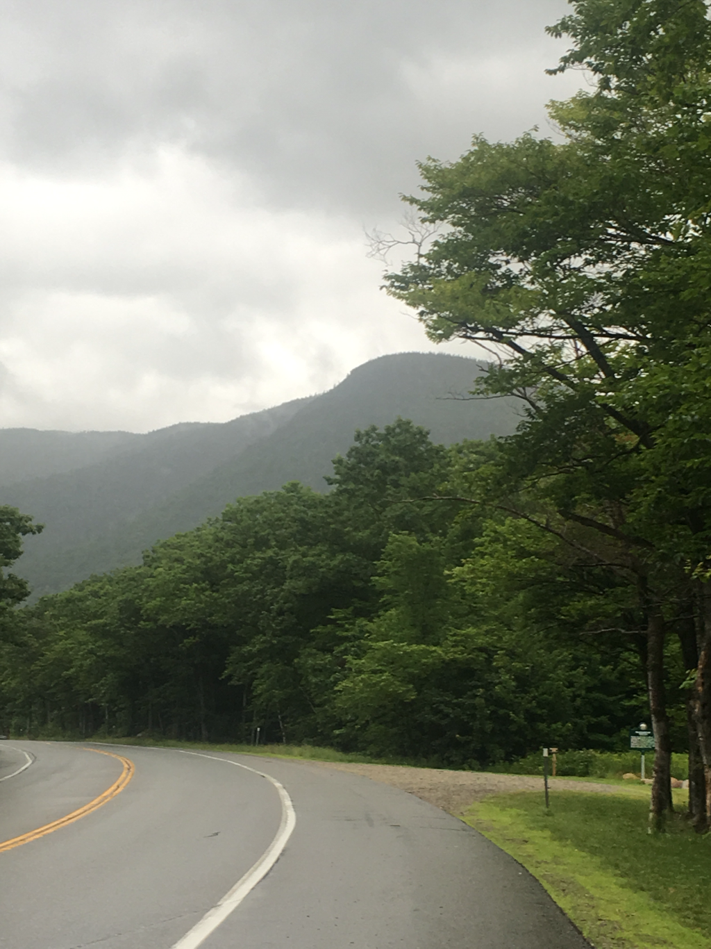
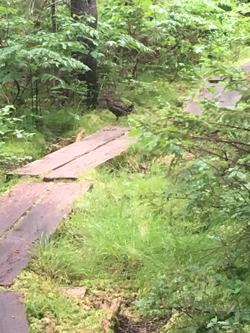
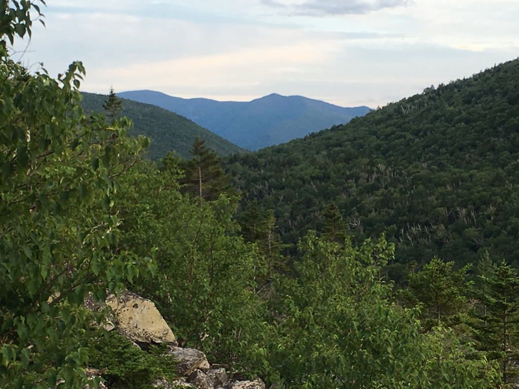
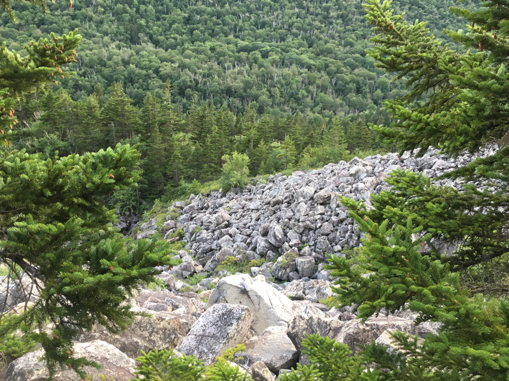
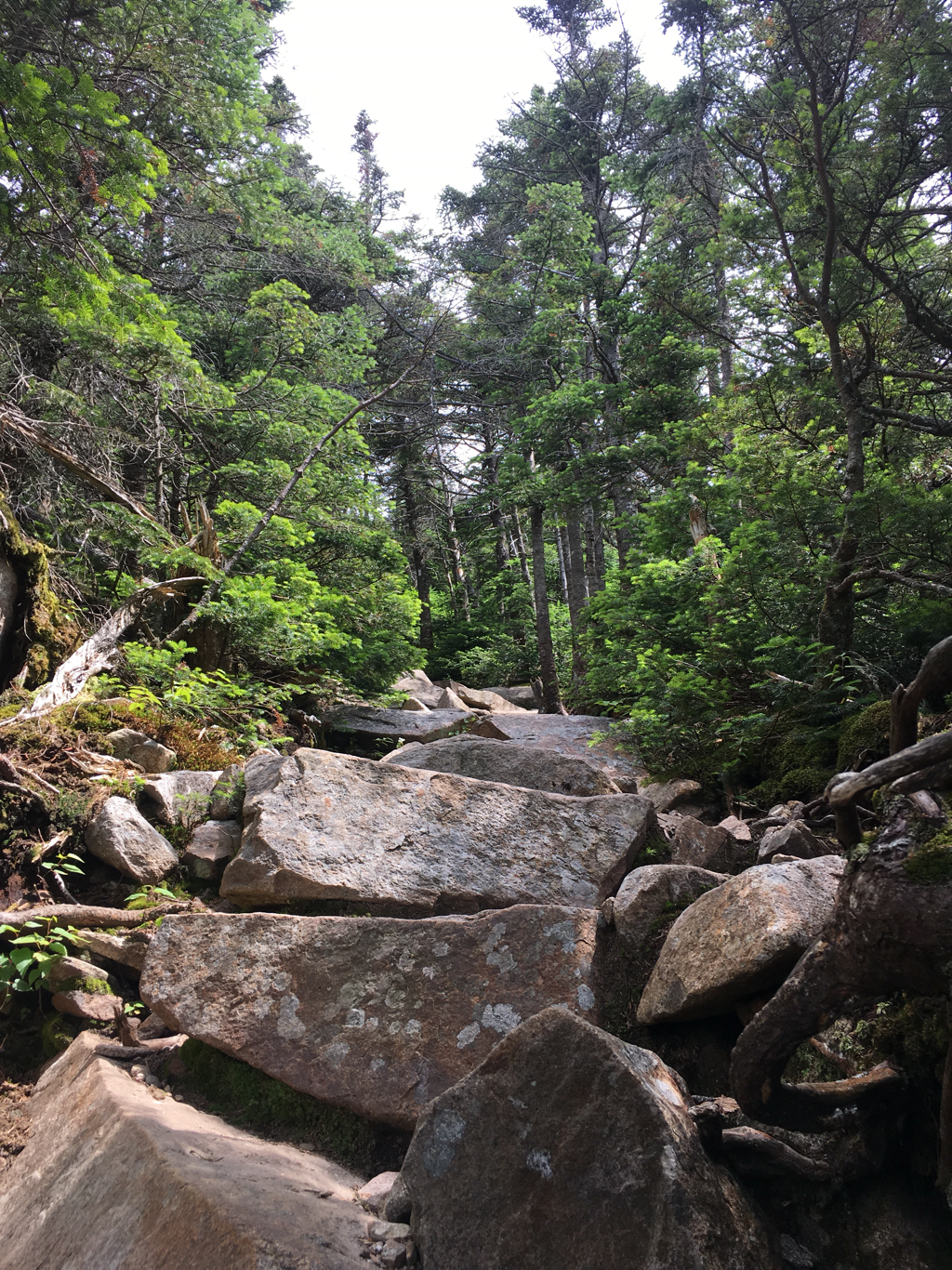
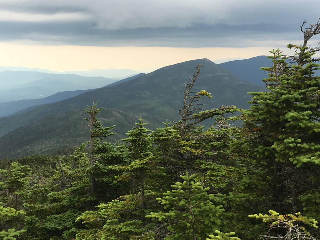
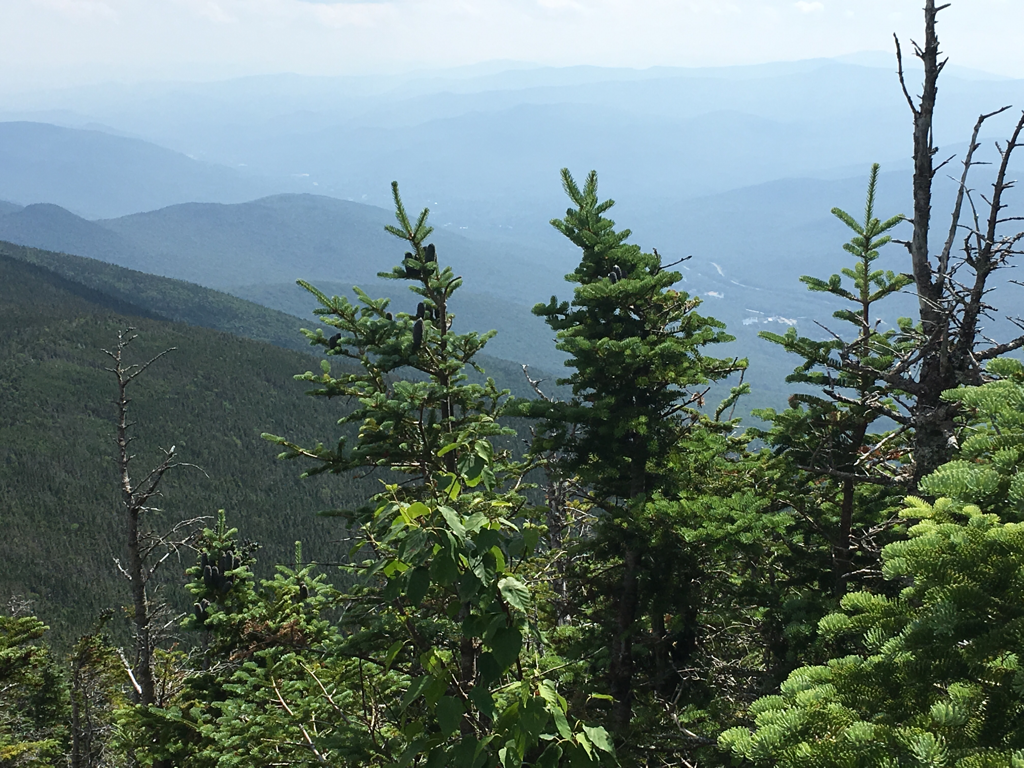
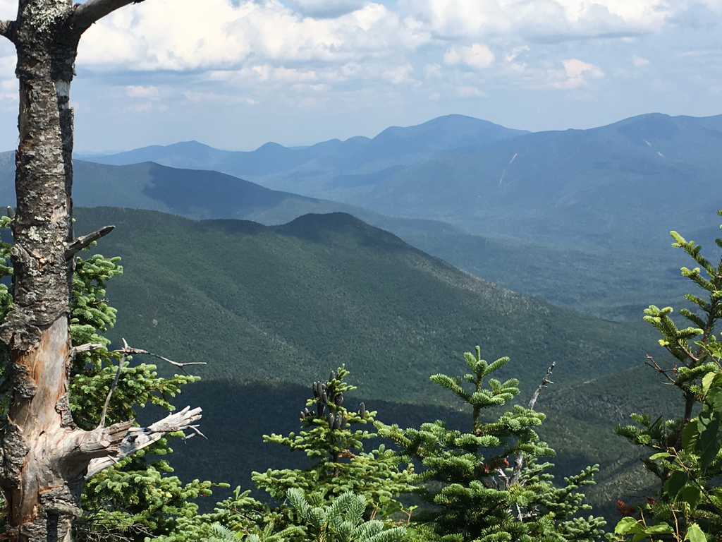
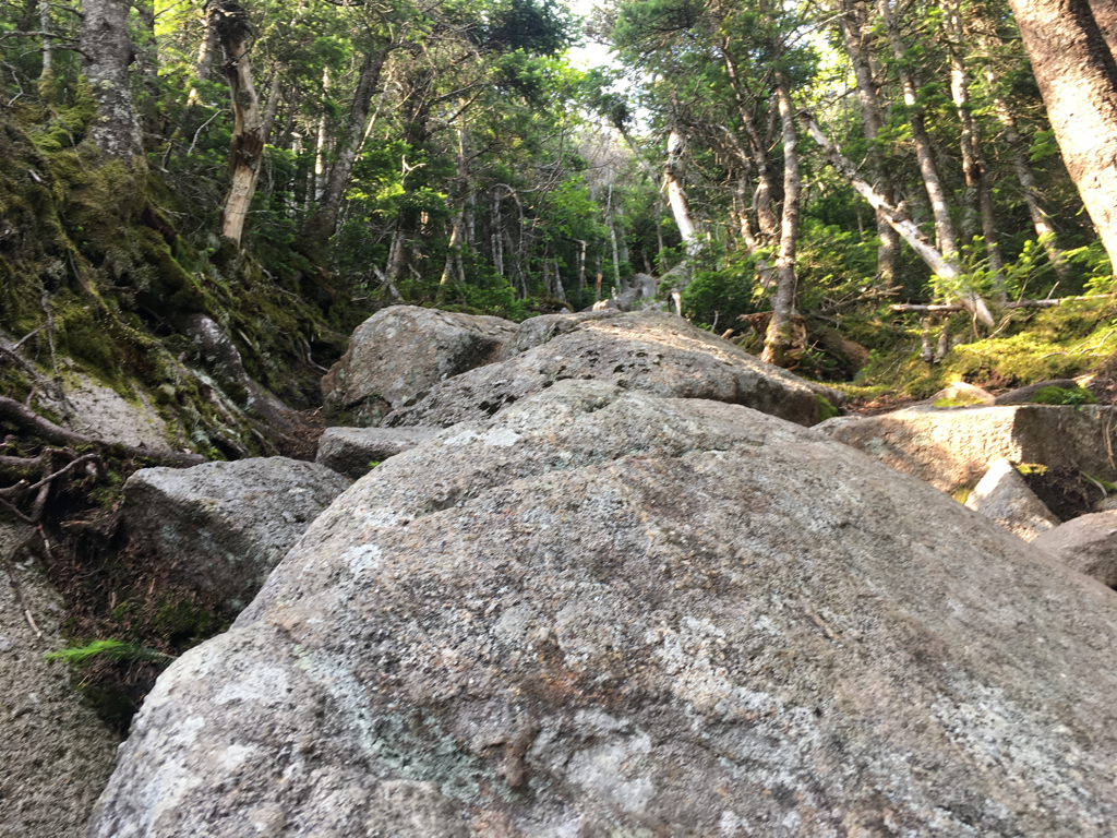
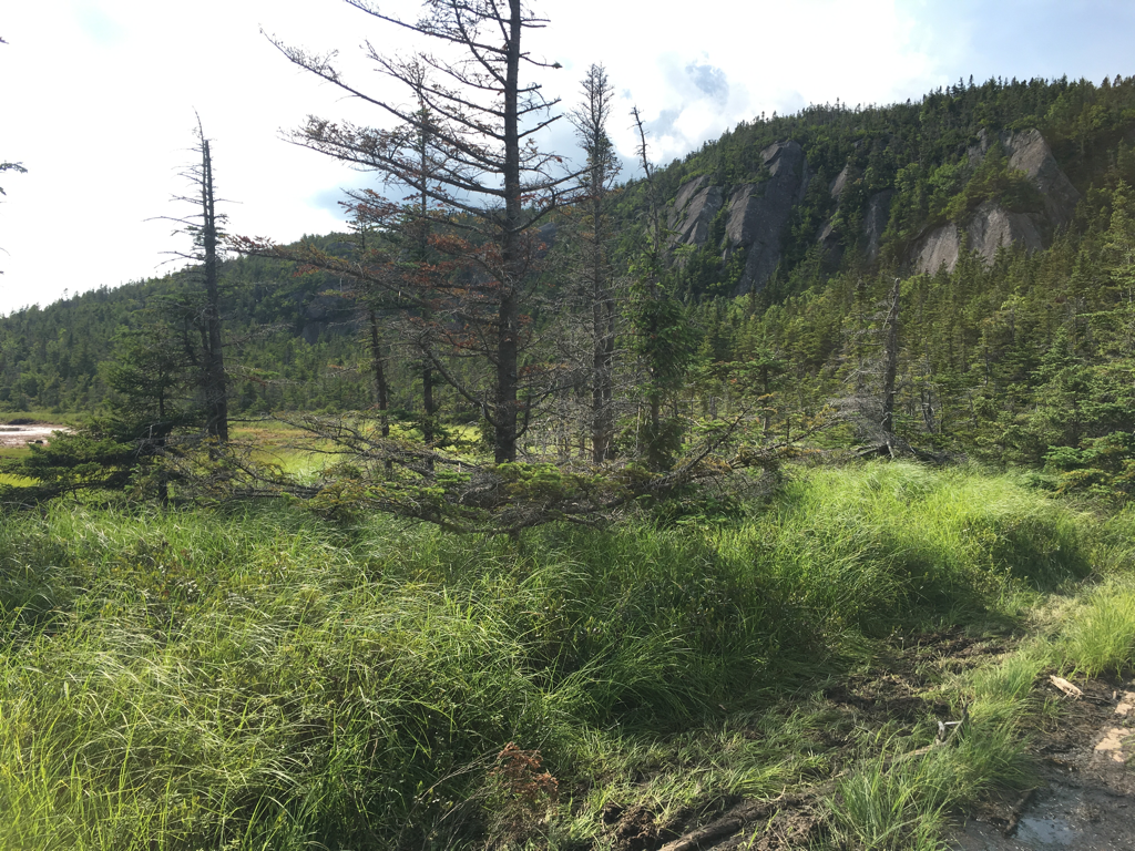
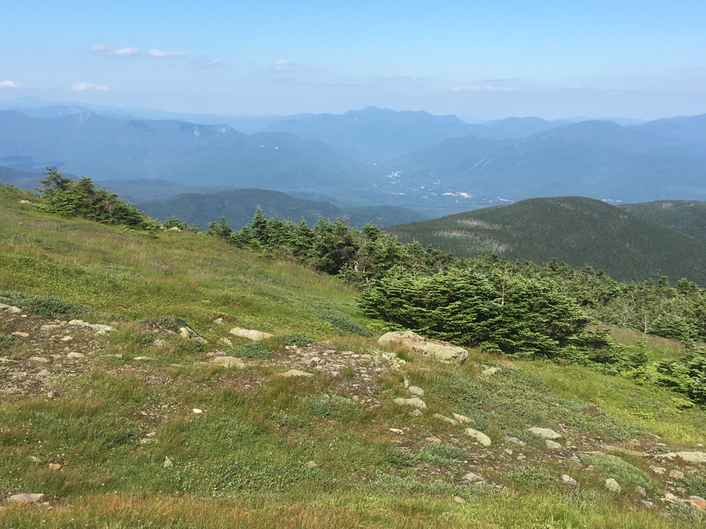
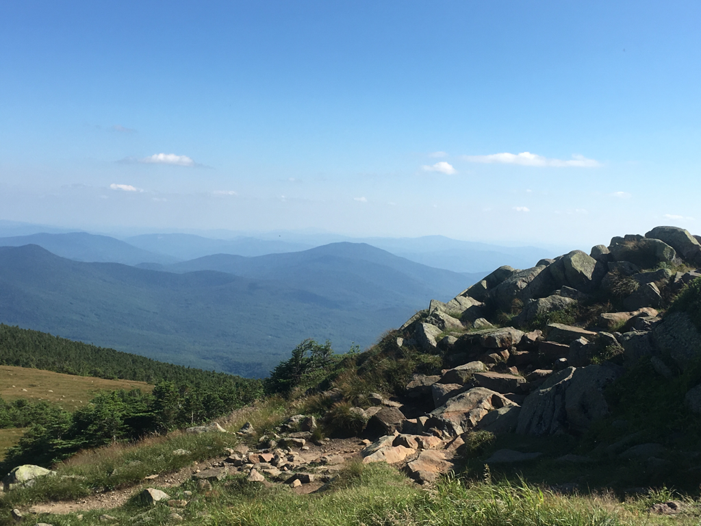
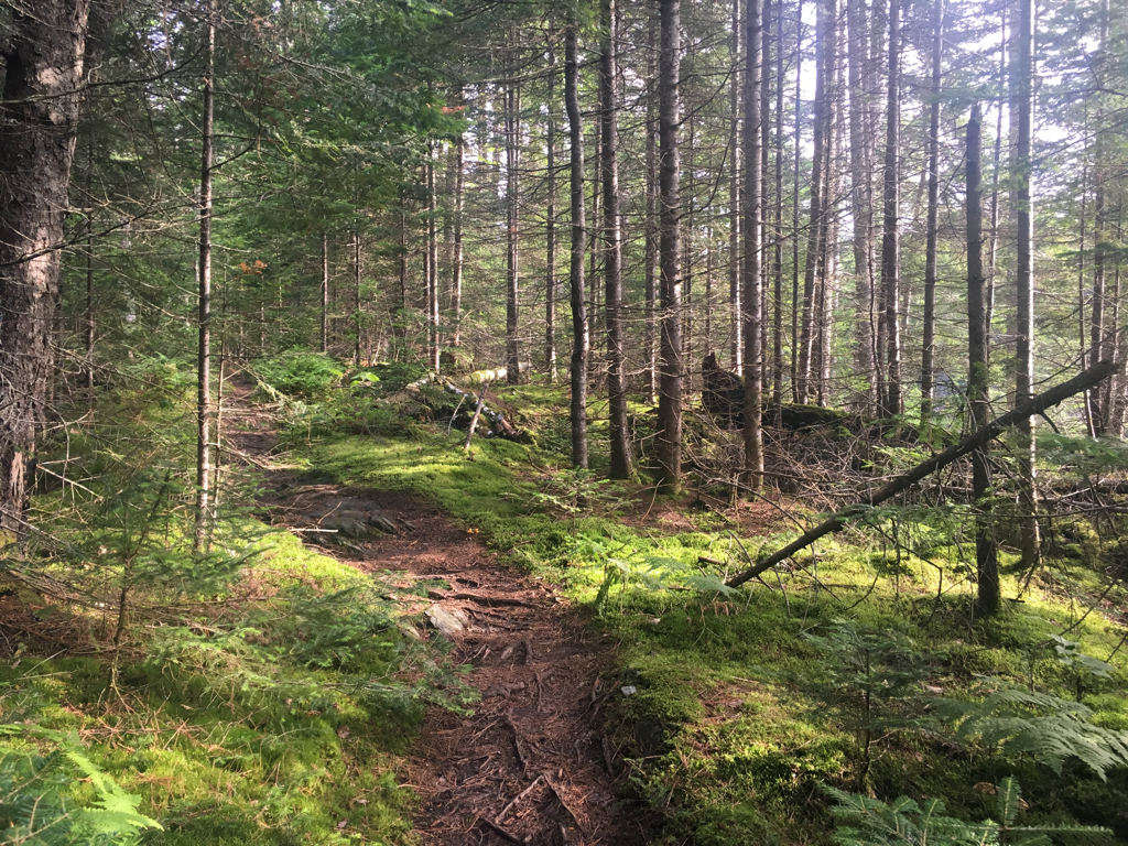
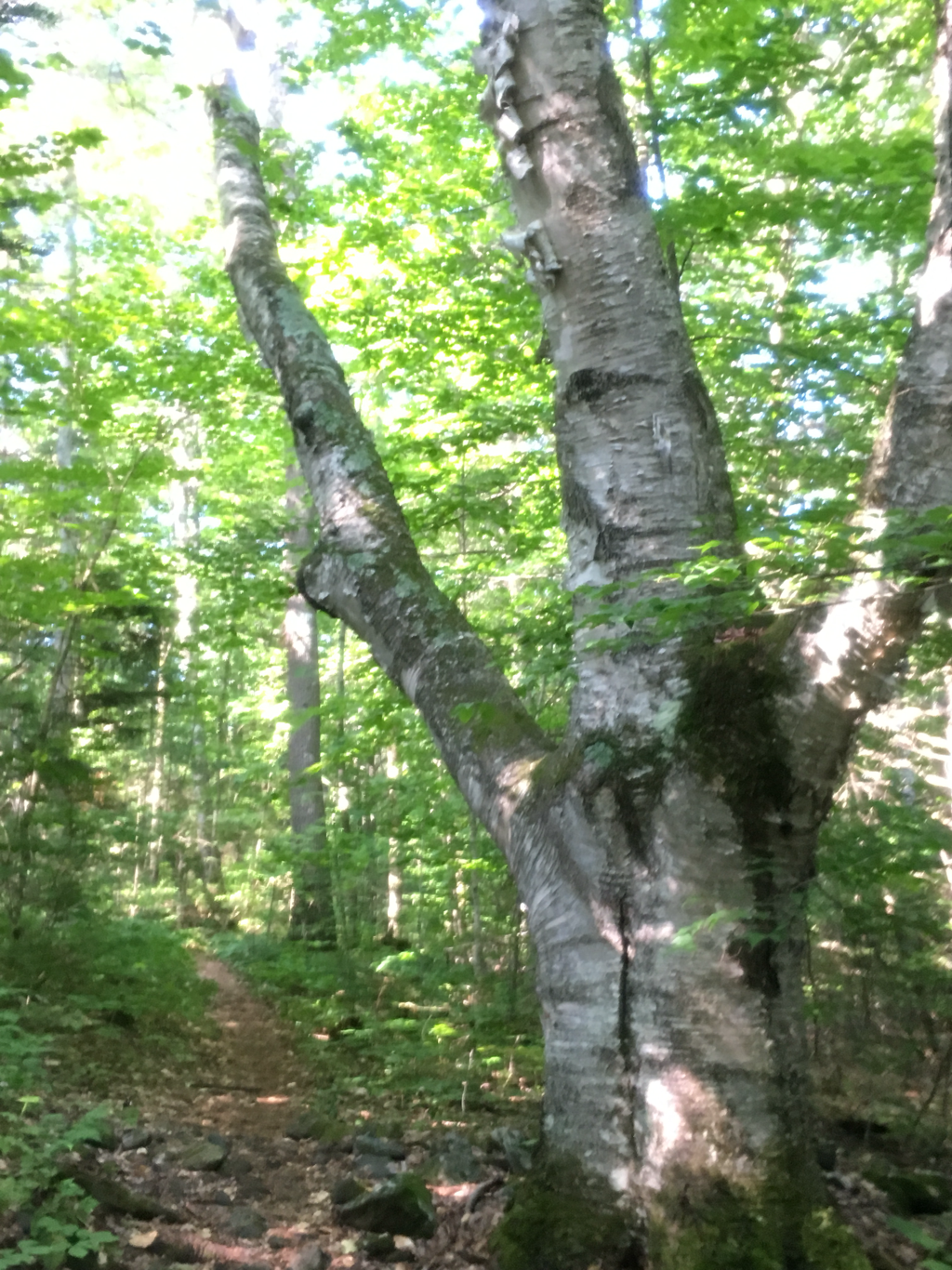
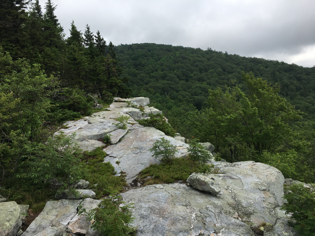
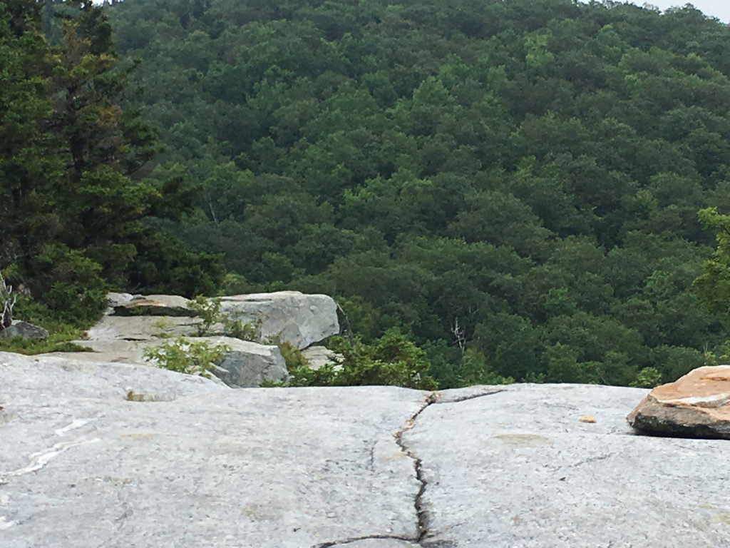
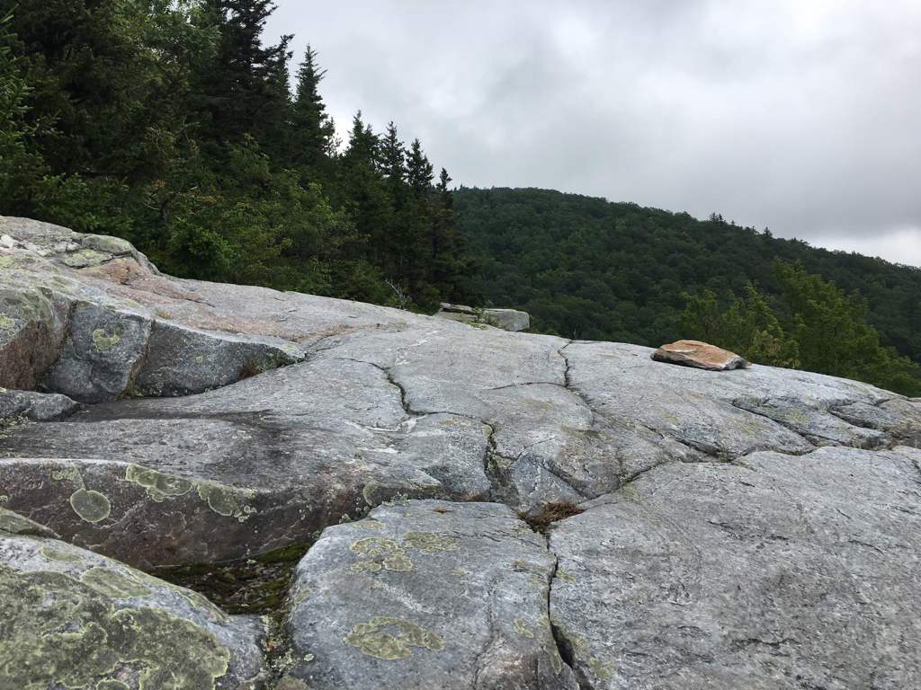
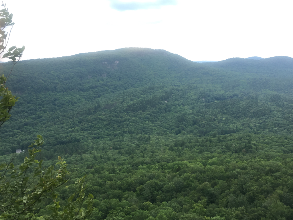
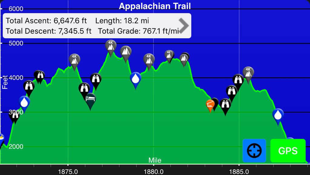
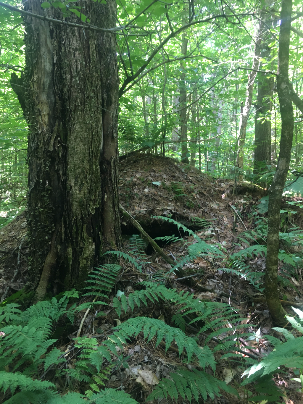
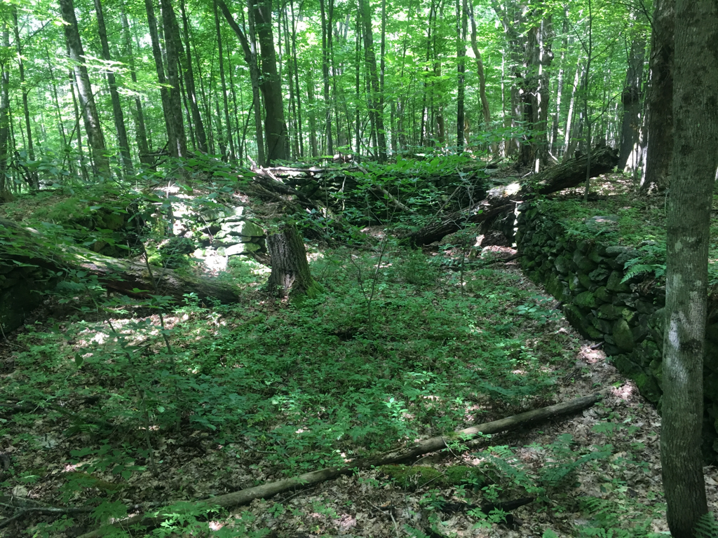
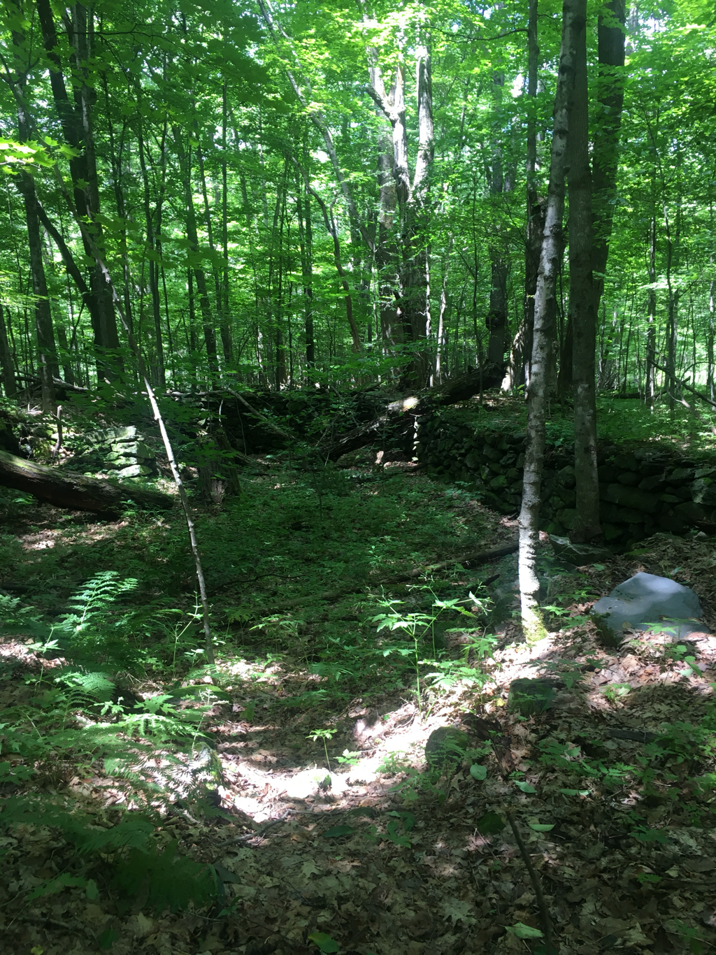
Good day to hike, did 12 miles... if I was not going up I was going down a mountain, no in between today... finished the day with some of the roughest trail yet... did a lot of sitting on my butt and scooting... surprised I do not have a hole in my pants... stopped at a hut today and loaded up on calories from cake, a guy I had hiked a few weeks with earlier was there, he pulled a muscle in his back and was taking a few zero days... chatted with him for a few hours... as I was cooking my evening meal I noticed the sunset, a partial view and realized how few I have observed, that goes for the night sky too... spend so much time in the forest that those things are missed... was a good thing about starting this trip early, was able to see plenty of both... suppose to be a good night, 5% chance of rain, winds are up around 20-25 mph so I get to listen to it... got down into the 30's a couple nights ago, not sure if I mentioned that... 60's tonight... climbed the Wildcat Mountains today, they are steep, finished up with North and South Carter Mountains/peaks coming down off of Carter was fun... 25.5 miles from Maine, may get there Sunday... have a 4,000 ft peak first thing tomorrow then with the exception of a 3,500 ft peak everything else is under 3,000 feet so I should be able to do 25 in two days... no more huts, just shelters and tent camping, well tent camping for me... not sure how Maine will go, lot of people complain about it but 75% of it is under 2,000 ft elevation?... will be interesting to see...
Legs are tired this morning... still climbing
Good day to hike, did 12 miles... if I was not going up I was going down a mountain, no in between today... finished the day with some of the roughest trail yet... did a lot of sitting on my butt and scooting... surprised I do not have a hole in my pants... stopped at a hut today and loaded up on calories from cake, a guy I had hiked a few weeks with earlier was there, he pulled a muscle in his back and was taking a few zero days... chatted with him for a few hours... as I was cooking my evening meal I noticed the sunset, a partial view and realized how few I have observed, that goes for the night sky too... spend so much time in the forest that those things are missed... was a good thing about starting this trip early, was able to see plenty of both... suppose to be a good night, 5% chance of rain, winds are up around 20-25 mph so I get to listen to it... got down into the 30's a couple nights ago, not sure if I mentioned that... 60's tonight... climbed the Wildcat Mountains today, they are steep, finished up with North and South Carter Mountains/peaks coming down off of Carter was fun... 25.5 miles from Maine, may get there Sunday... have a 4,000 ft peak first thing tomorrow then with the exception of a 3,500 ft peak everything else is under 3,000 feet so I should be able to do 25 in two days... no more huts, just shelters and tent camping, well tent camping for me... not sure how Maine will go, lot of people complain about it but 75% of it is under 2,000 ft elevation?... will be interesting to see...
07/27/2017
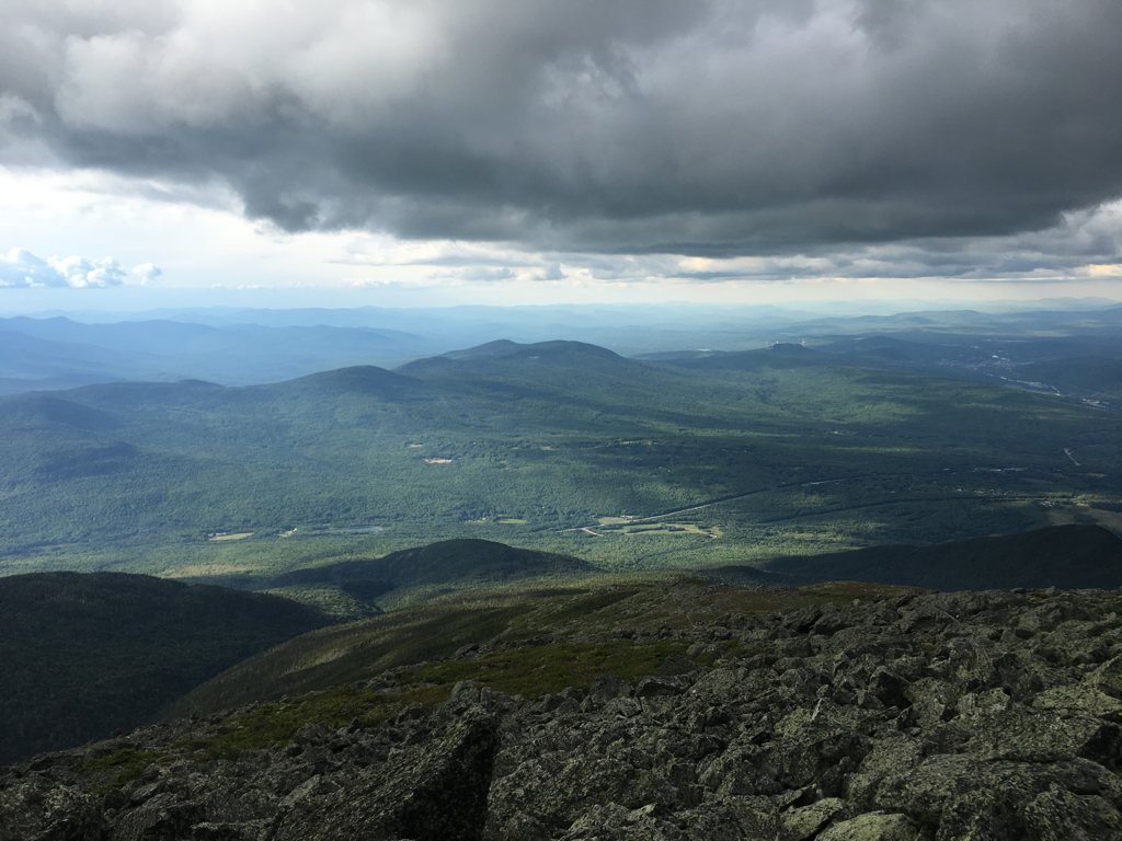
Made it to Pinkham Notch Visitir Center today, early and then waited five hours for the rain to pass, did not rain that long, front just took it's time getting here. Was a relaxing afternoon.
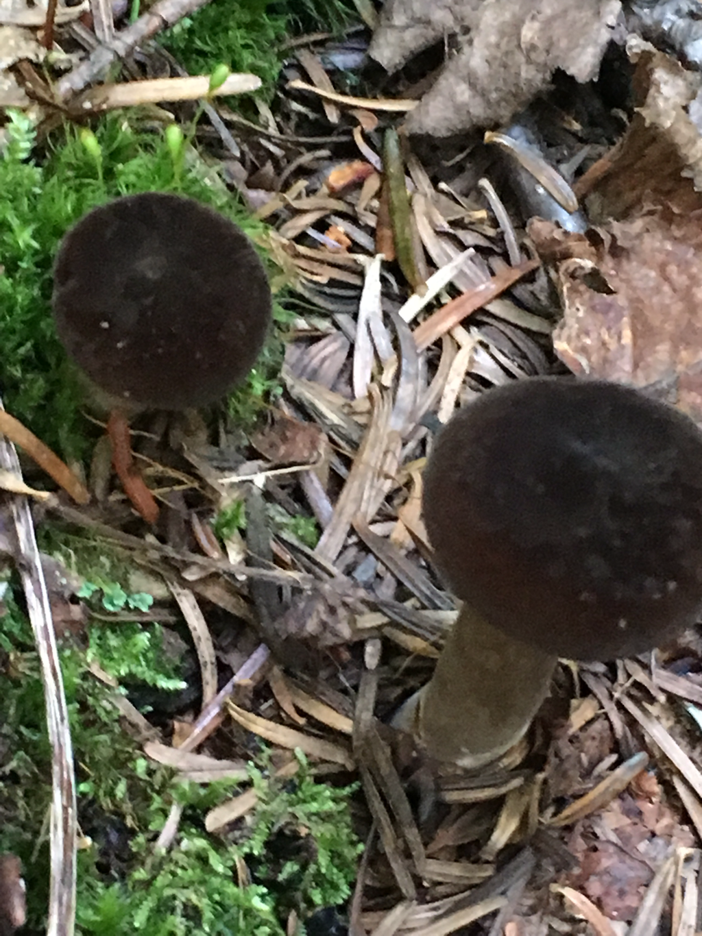
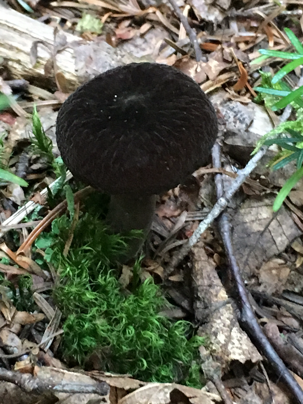
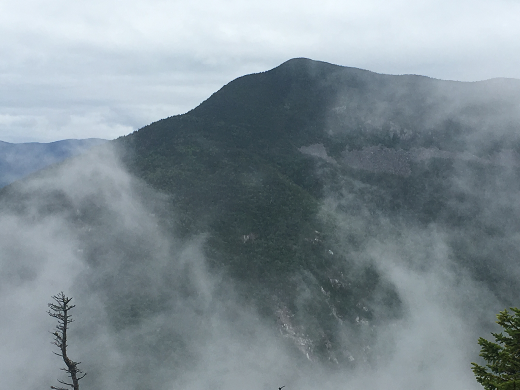
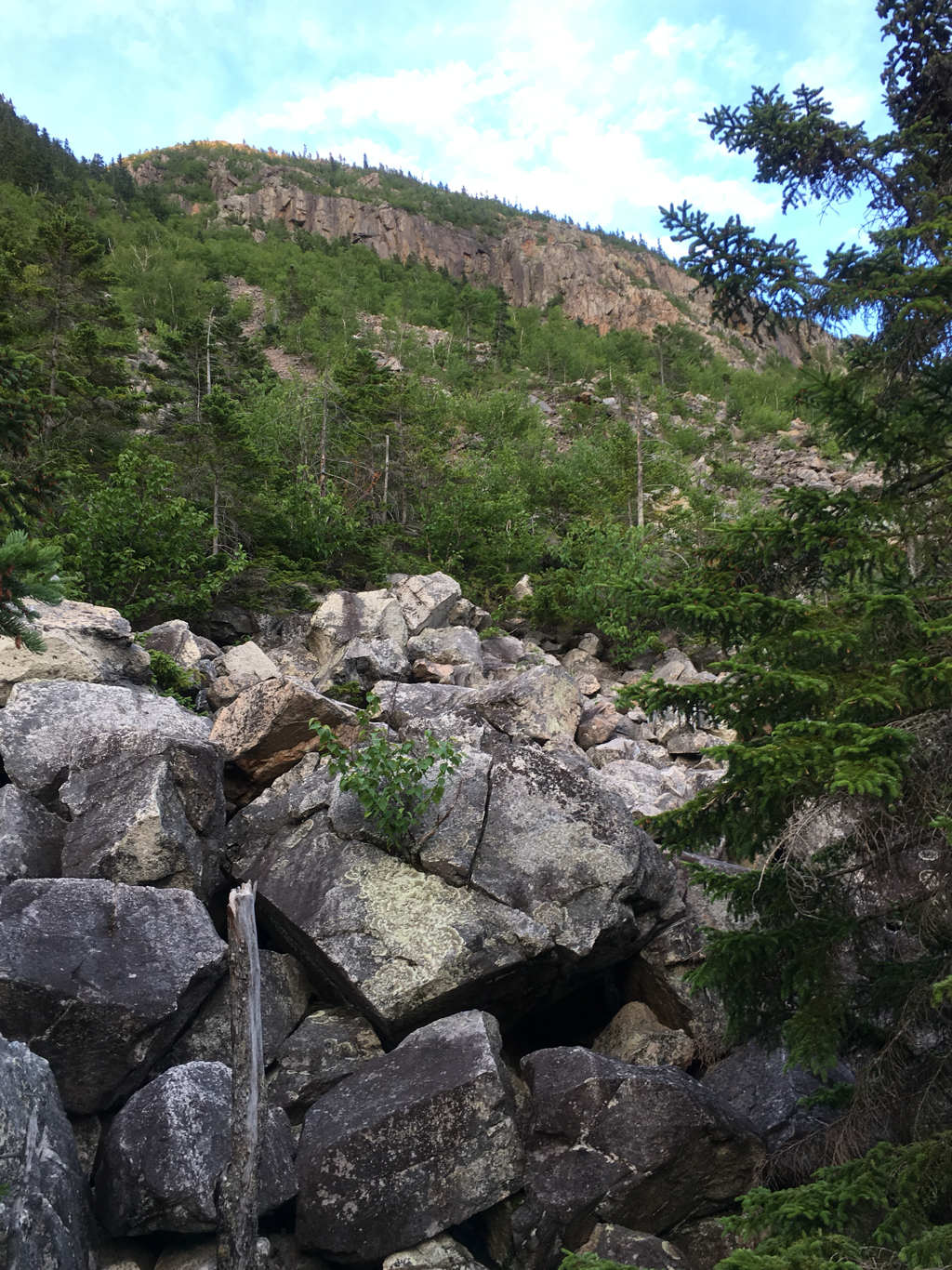
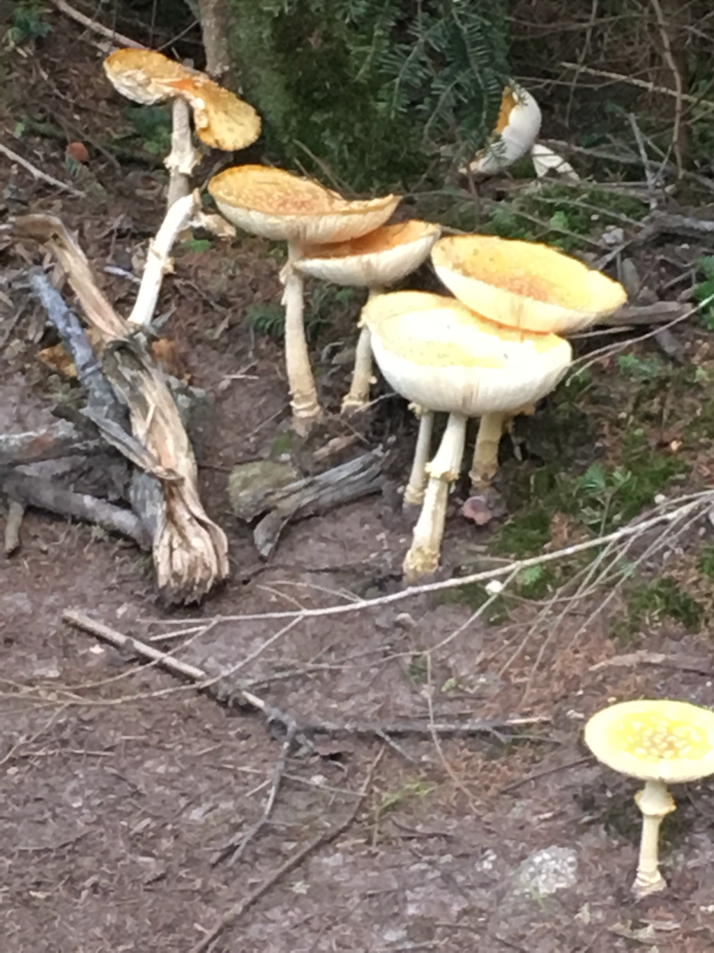
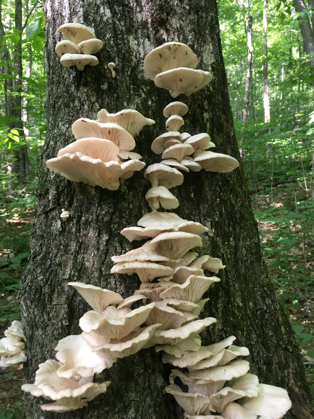
Started hiking the Wildcat Mountains this evening, just a mile or so into them. Ran into a mushroom hunter a week or so ago who told me these mountains are just as bad if not worse than the Whites... will be interesting, the initial climb is straight up which is why I chose to delay attacking them until in the morning, give the rocks time to dry out some.
Talked to a southbound (sobo) hiker today who took a pretty good fall coming off of the Wildcats, cut up pretty good, fell into a tree... I finally drew blood on a fall yesterday, actually two different falls. Nothing serious, stubbed my toes on a coffee table before that was worse. So far Ihave never felt that any part of the trail was overly difficult, it is only when one stops paying attention to what they are doing that it becomes risky. I did see a lady being escorted out by a medical staff with a full leg splint on yesterday... they were trying to talk her into continuing to a place where she could get better care without having to call in more help... did not stick around to see what happened.
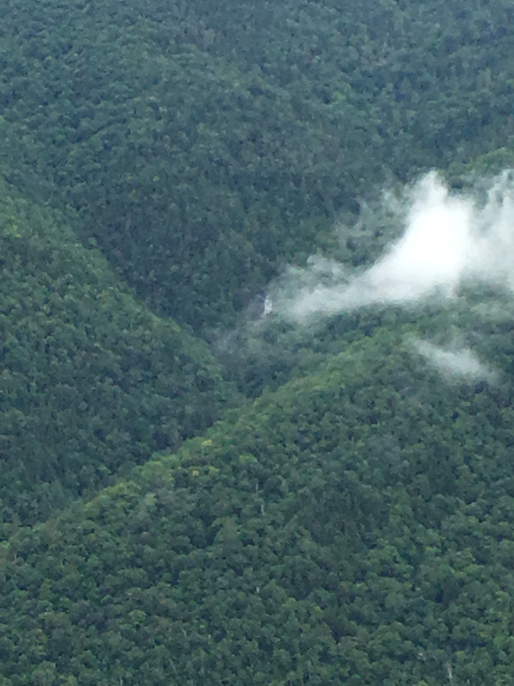
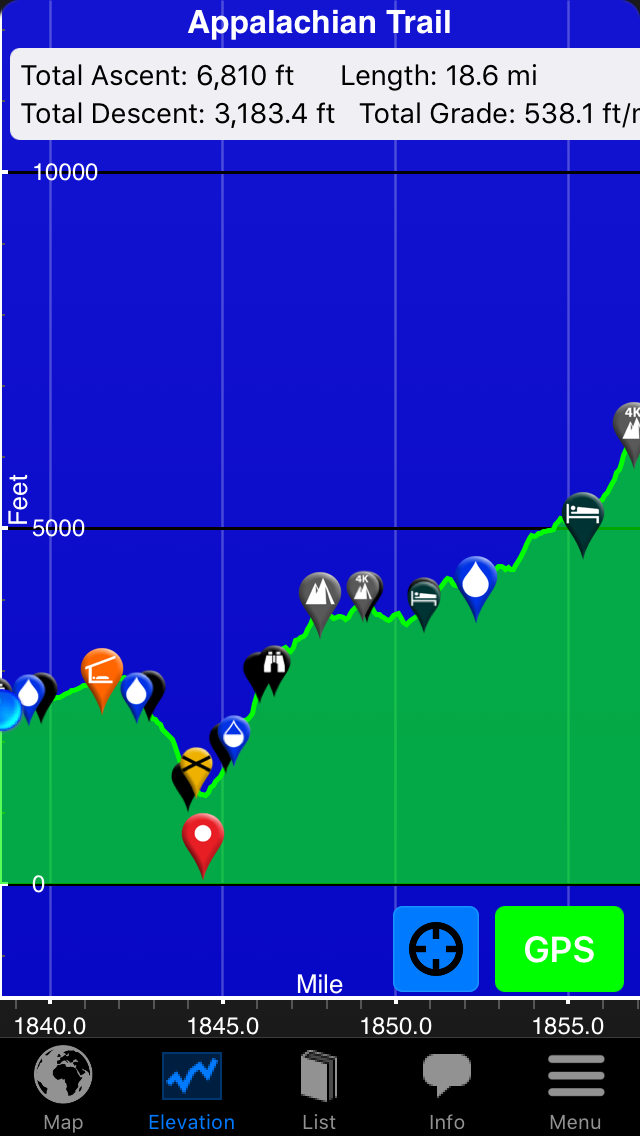
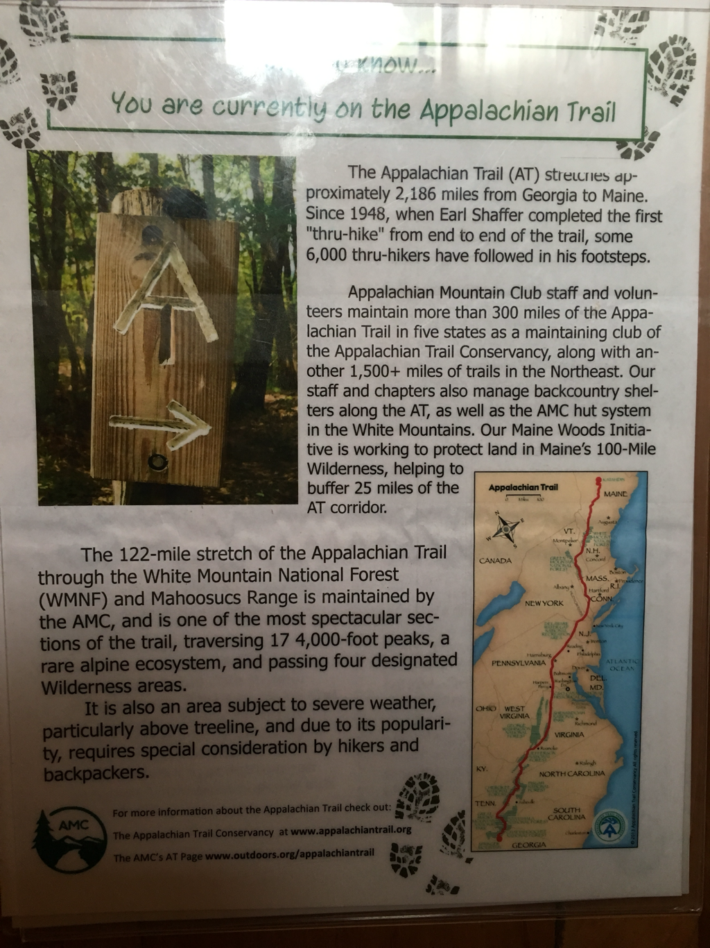
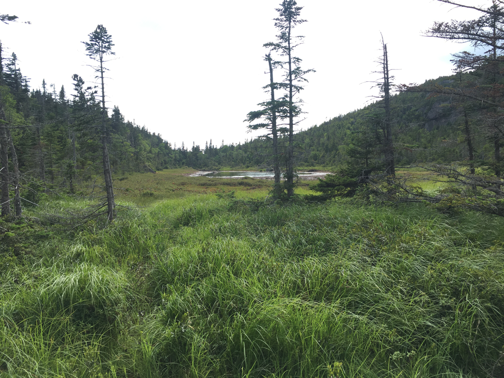
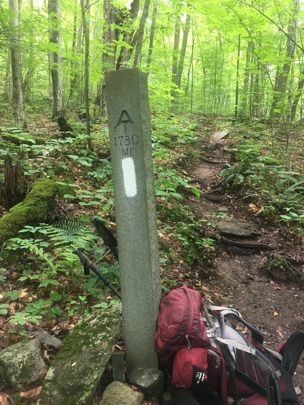
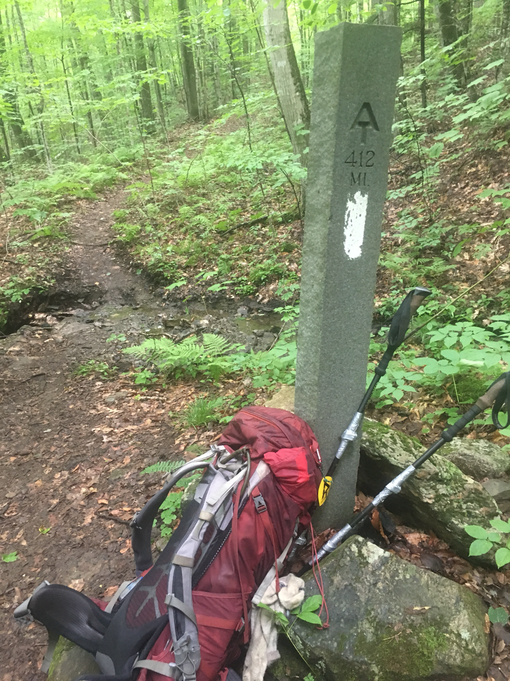
I have a little over 300 miles left 310 I think? 36 miles to Maine. Supplies are becoming the biggest issue, some of the places to purchase supplies are 20 miles off the trail. To get to those places I will need to pay a shuttle service. Because of the limited access I will consider increasing what I carry, or go hungry lol Also will be approaching the 100 mile wilderness when I get to the 120 mile or so marker... that is a 100 mile stretch with no hostels or stores, they suggest a person carry 10 days worth of food for this section, seems like a lot to me, I will look into the terraine and then decide if I want to do that.
Getting excited as I move along with my trek... been a journey, little sad too for it will soon be coming to an end...
Made it to Pinkham Notch Visitir Center today, early and then waited five hours for the rain to pass, did not rain that long, front just took it's time getting here. Was a relaxing afternoon.
Started hiking the Wildcat Mountains this evening, just a mile or so into them. Ran into a mushroom hunter a week or so ago who told me these mountains are just as bad if not worse than the Whites... will be interesting, the initial climb is straight up which is why I chose to delay attacking them until in the morning, give the rocks time to dry out some.
Talked to a southbound (sobo) hiker today who took a pretty good fall coming off of the Wildcats, cut up pretty good, fell into a tree... I finally drew blood on a fall yesterday, actually two different falls. Nothing serious, stubbed my toes on a coffee table before that was worse. So far Ihave never felt that any part of the trail was overly difficult, it is only when one stops paying attention to what they are doing that it becomes risky. I did see a lady being escorted out by a medical staff with a full leg splint on yesterday... they were trying to talk her into continuing to a place where she could get better care without having to call in more help... did not stick around to see what happened.
I have a little over 300 miles left 310 I think? 36 miles to Maine. Supplies are becoming the biggest issue, some of the places to purchase supplies are 20 miles off the trail. To get to those places I will need to pay a shuttle service. Because of the limited access I will consider increasing what I carry, or go hungry lol Also will be approaching the 100 mile wilderness when I get to the 120 mile or so marker... that is a 100 mile stretch with no hostels or stores, they suggest a person carry 10 days worth of food for this section, seems like a lot to me, I will look into the terraine and then decide if I want to do that.
Getting excited as I move along with my trek... been a journey, little sad too for it will soon be coming to an end...

07/26/2017
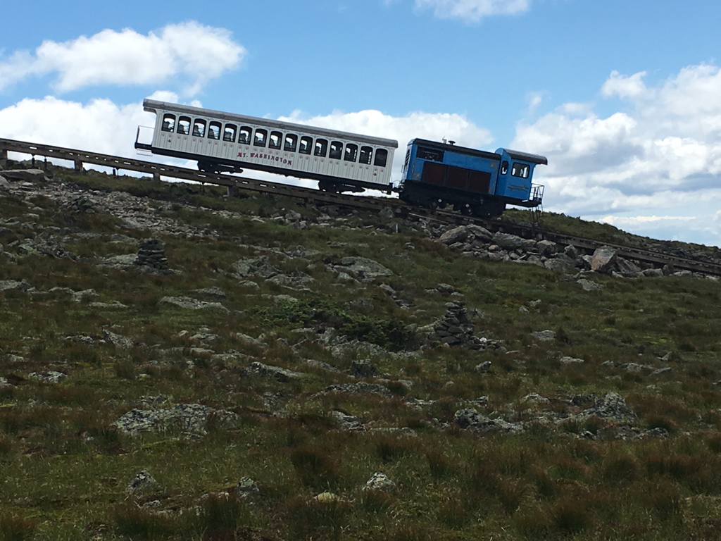
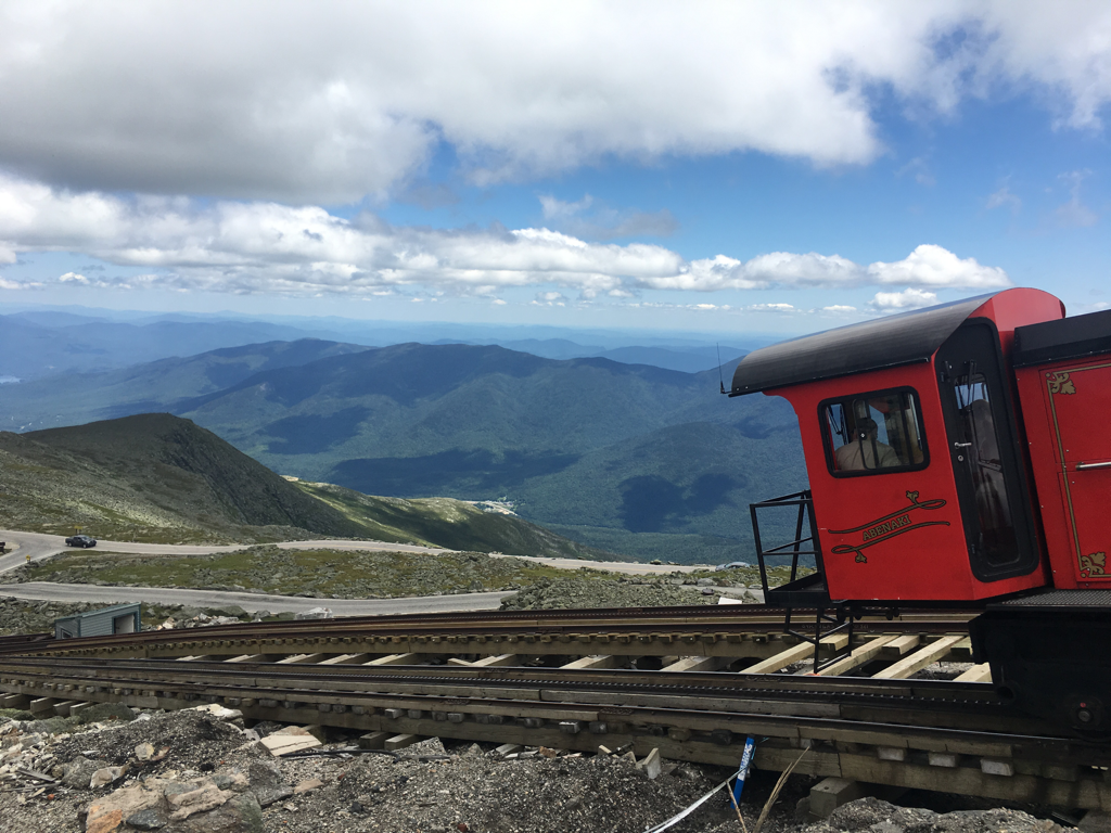
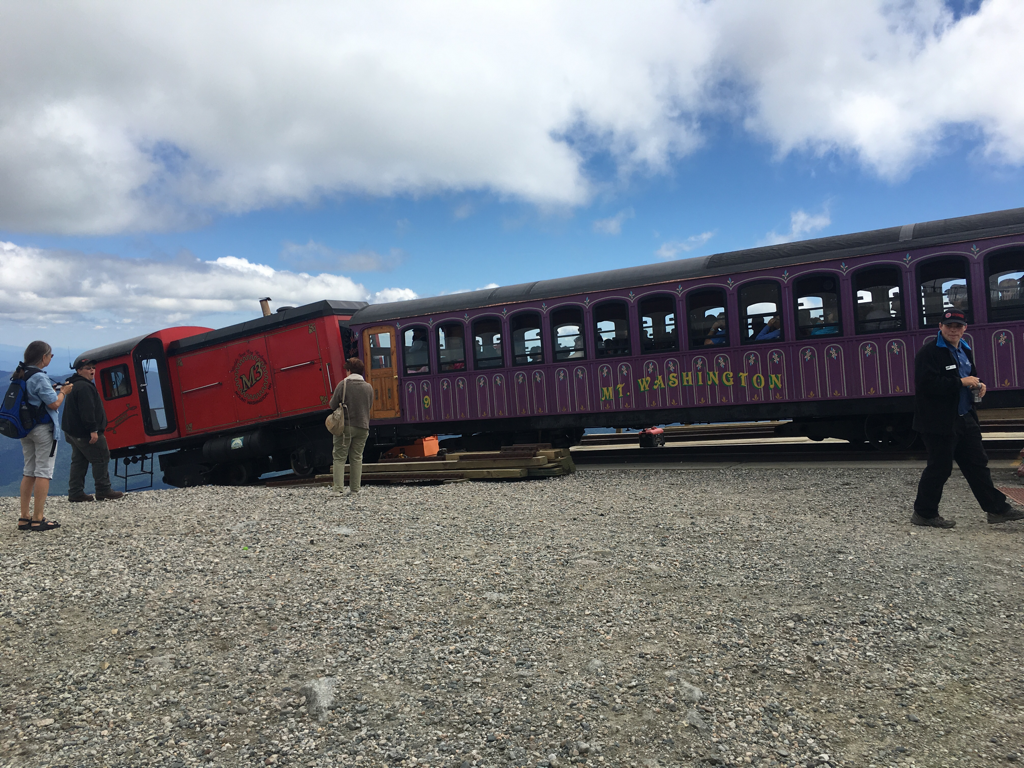
cog train taking people off of Mount Washington
Hut
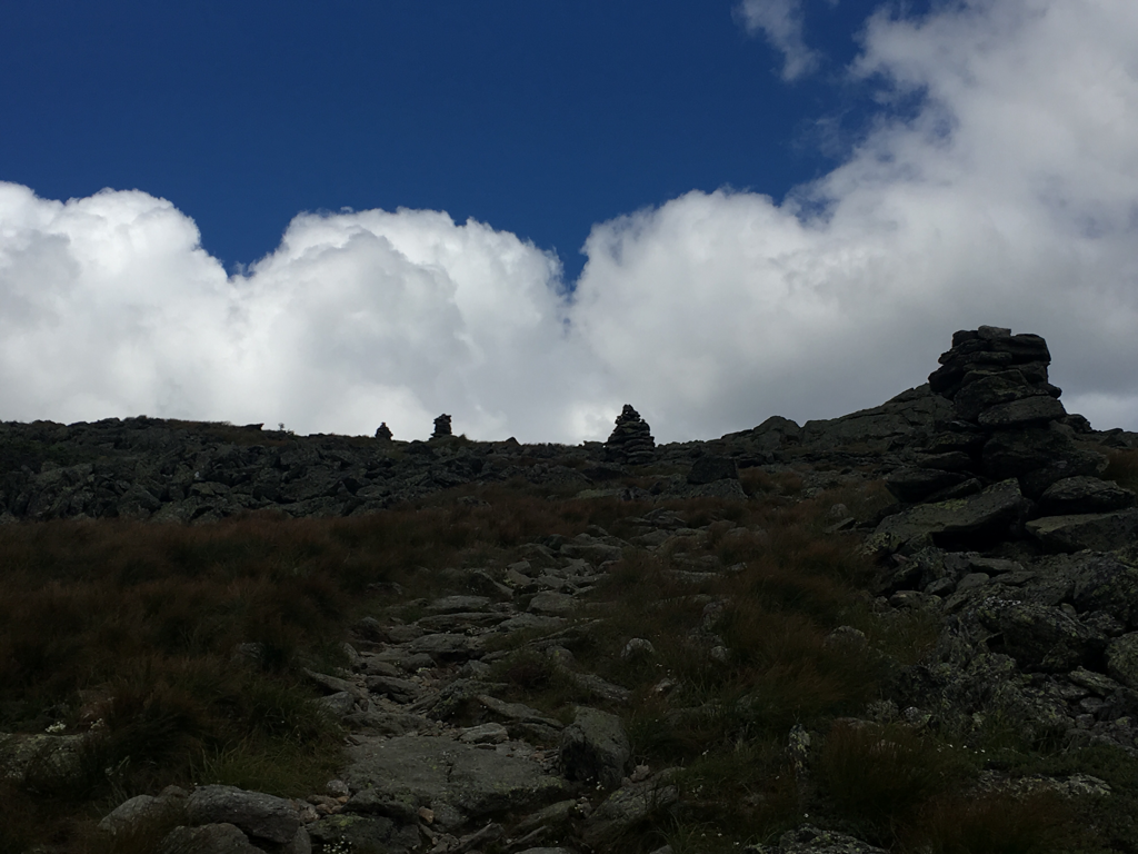
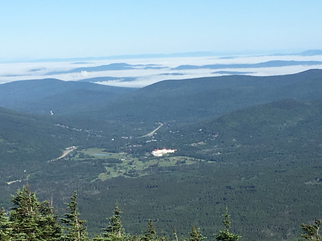
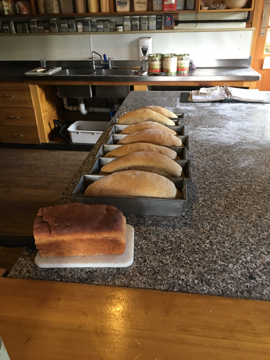
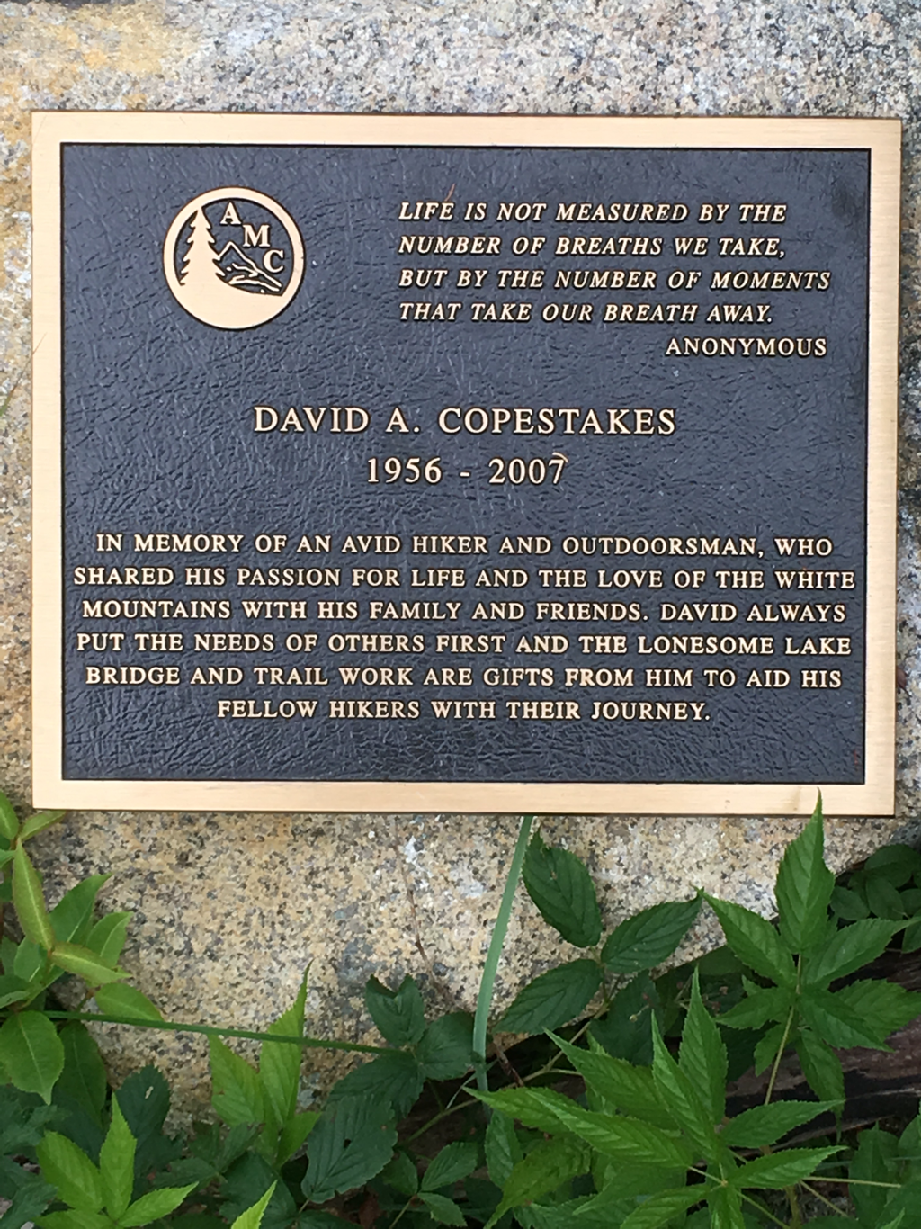
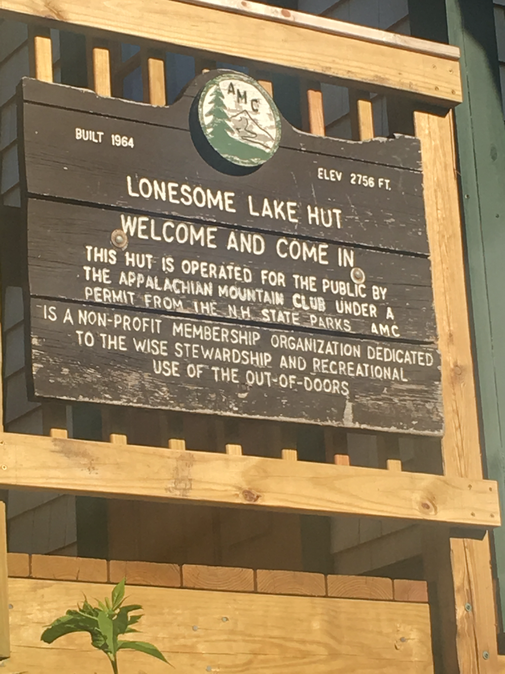
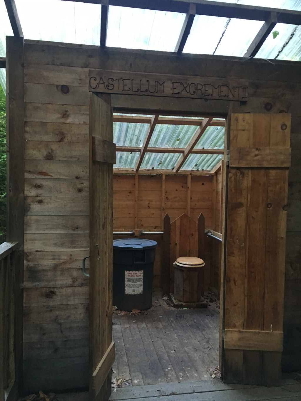
Staying at a Hut campsite... $10. and I got a pass that is good at any of the four remaining huts for a bowl of soup and 2 pieces of cake (little pieces) I try to get soup for lunch at a hut if I can anyway and that normally cost $5. The remaining pay to camp shelters are suppose to be $5. Now rather than $10. They have started charging the $10. Per per per night to have people in site to take care of the privy and educate campers on taking care of the environment... I have learned a lot from their signs and watching/listening... funny how little we know... The huts have bunk rooms, looks like 8 bunks per room and cost about $100. per night... not exactly cheap considering, still it includes breakfast and dinner...
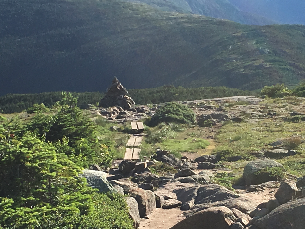
Decided to stay because I am about to hit a stretch of trail above the tree line, 12 miles worth and camping above the tree line is not allowed. This place puts me in position to hopefully do 15 tomorrow the 26th.
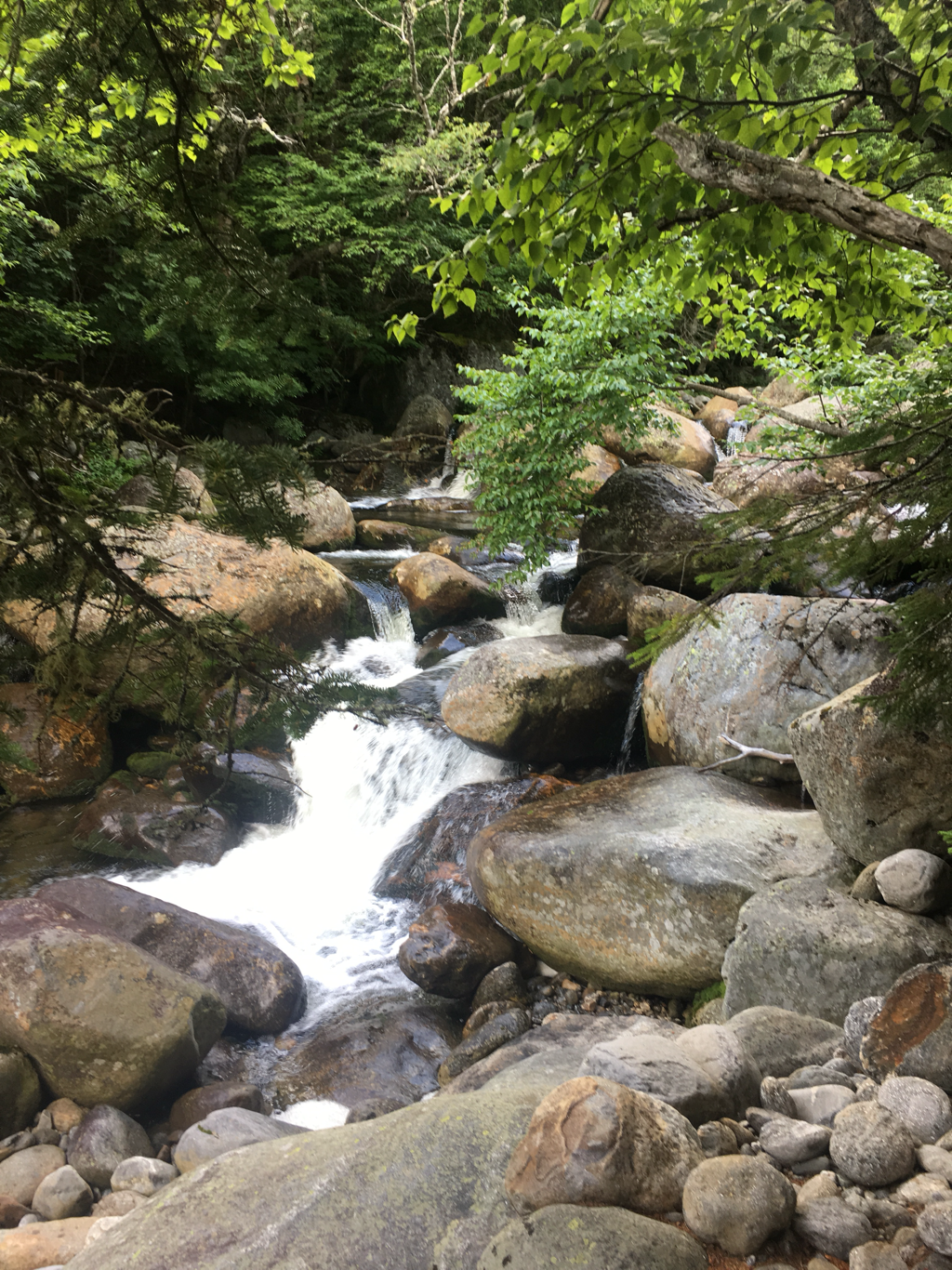
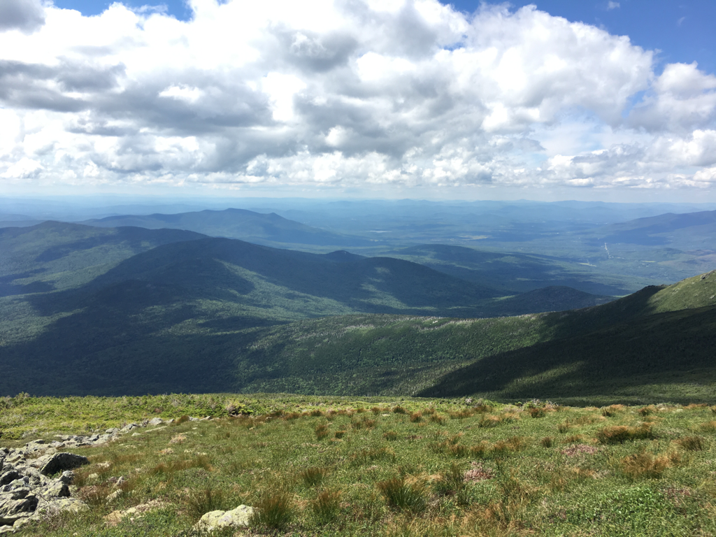
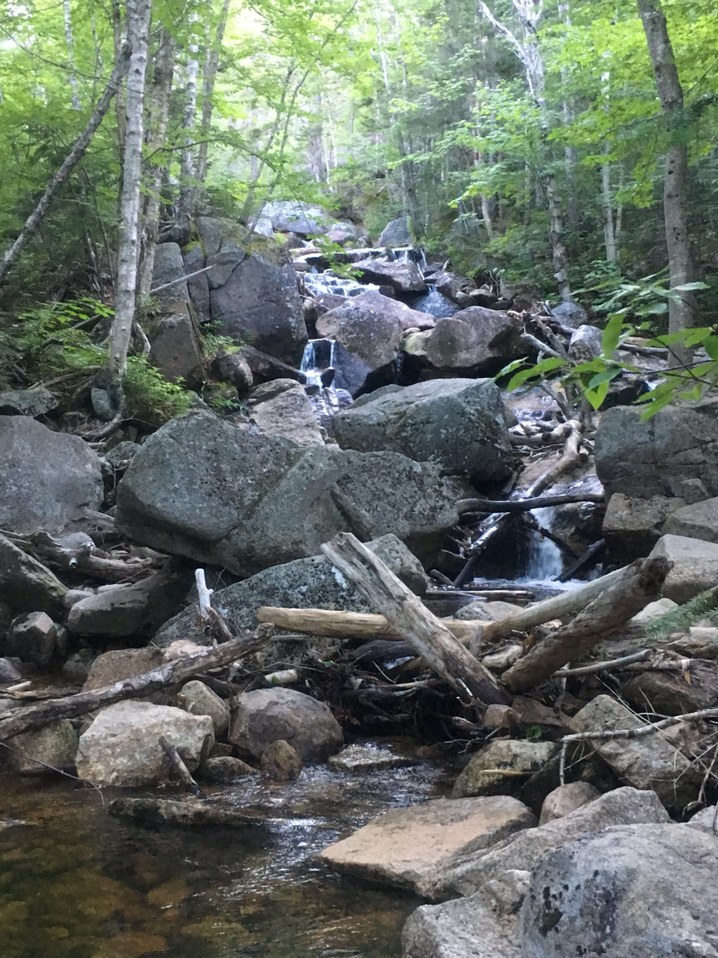
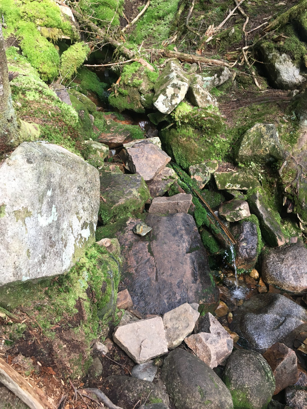
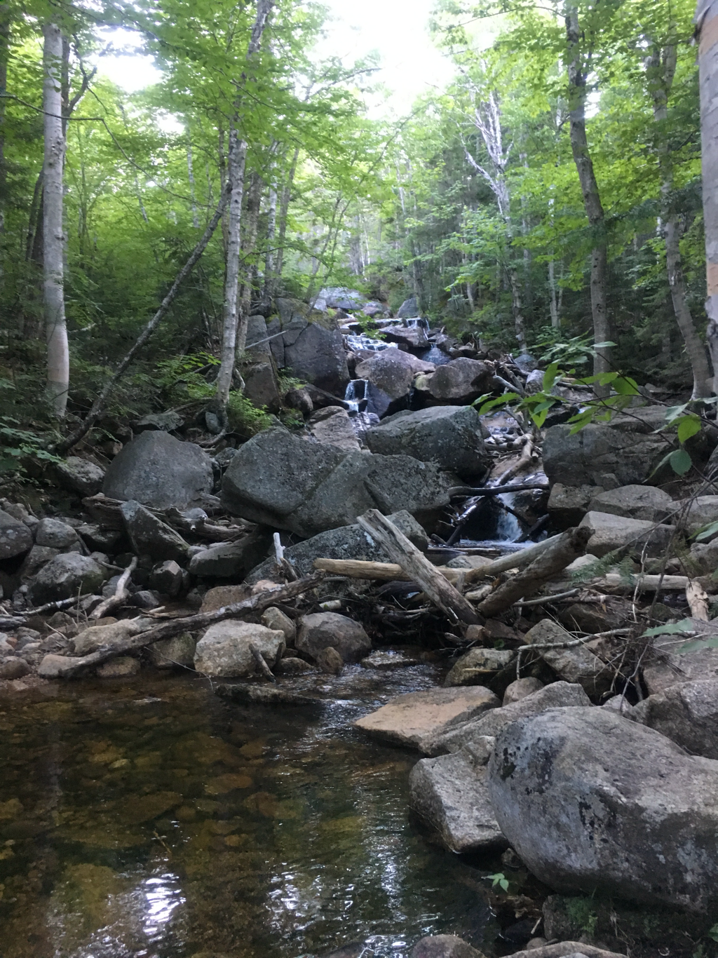
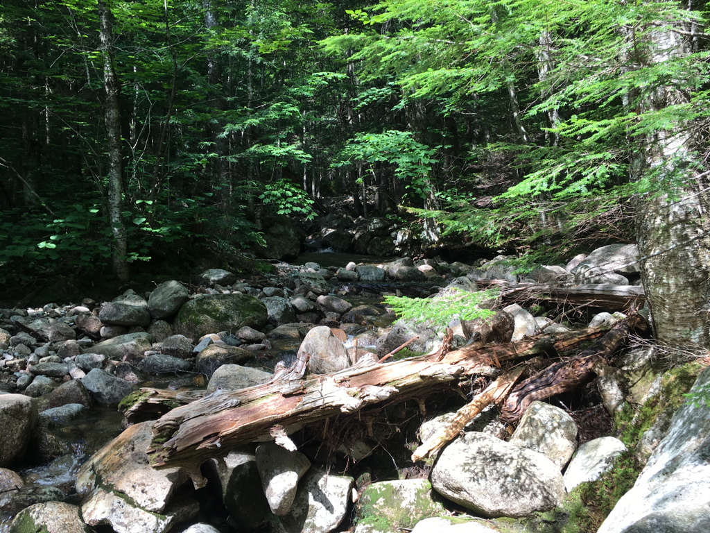
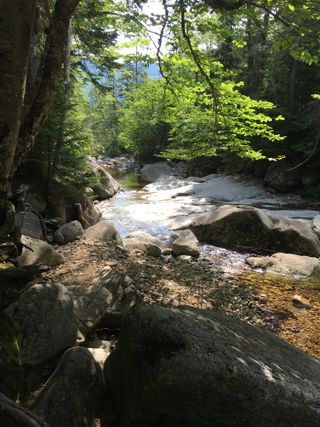
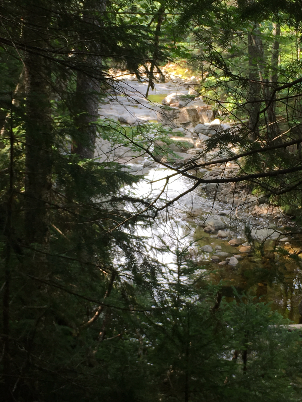
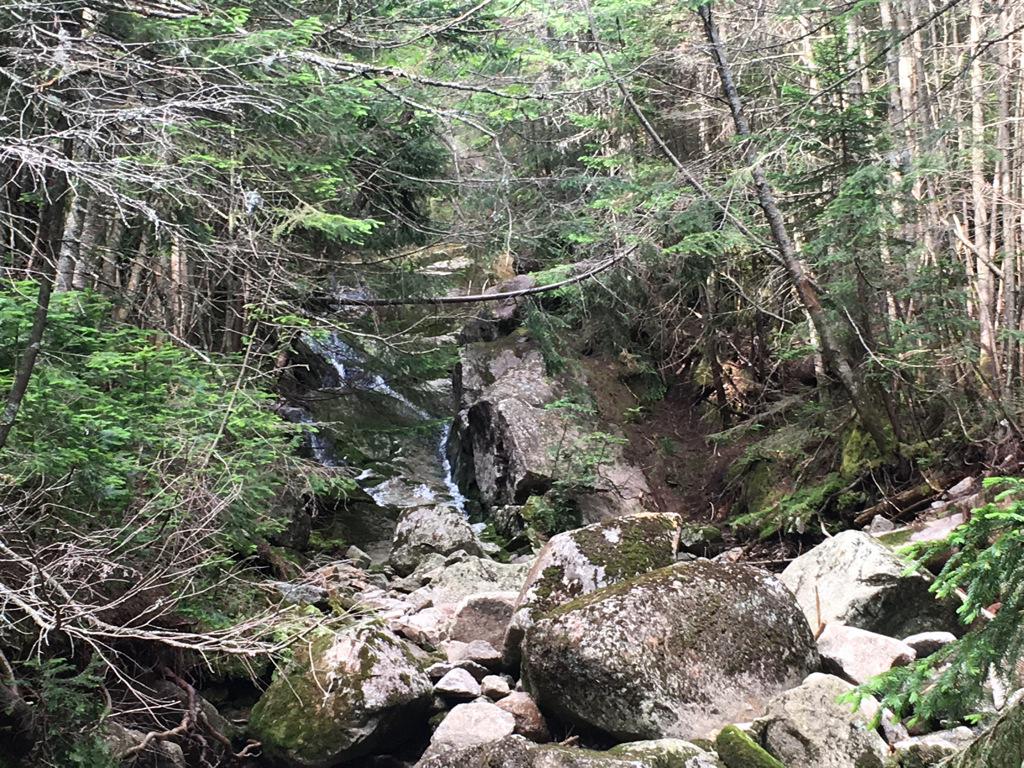
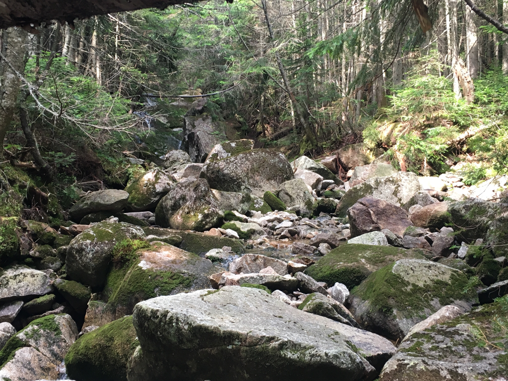
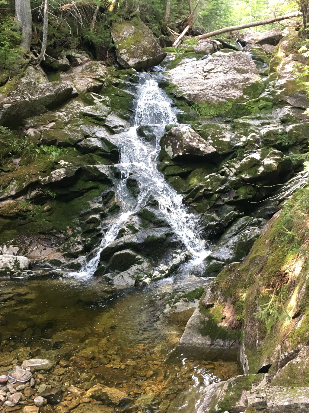
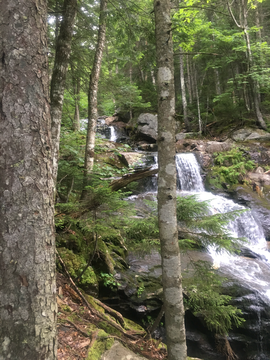
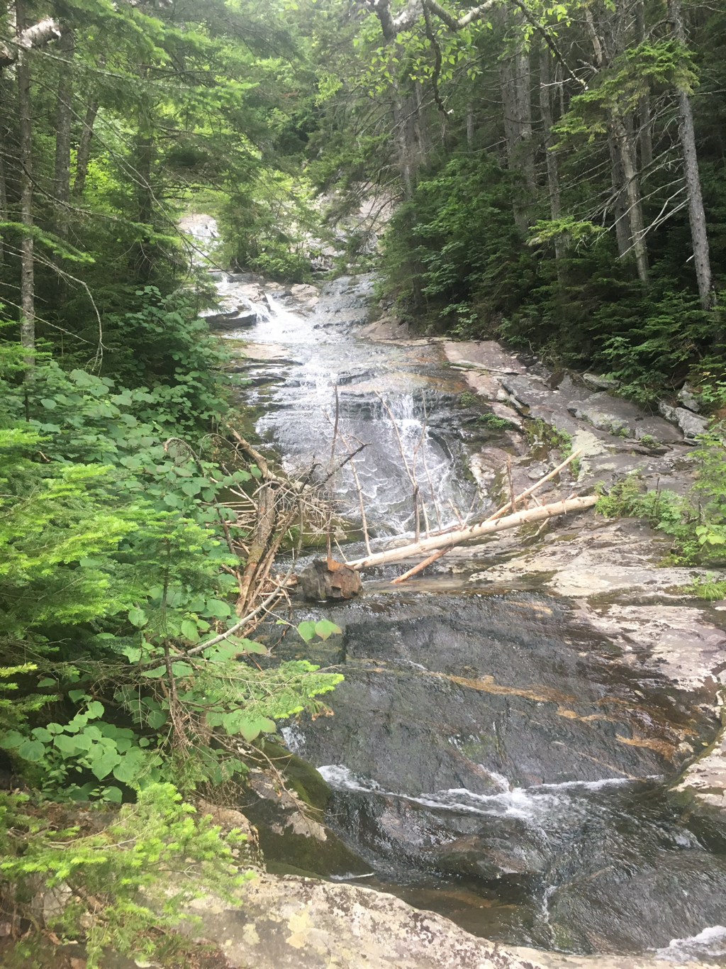
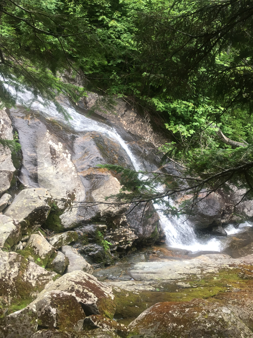
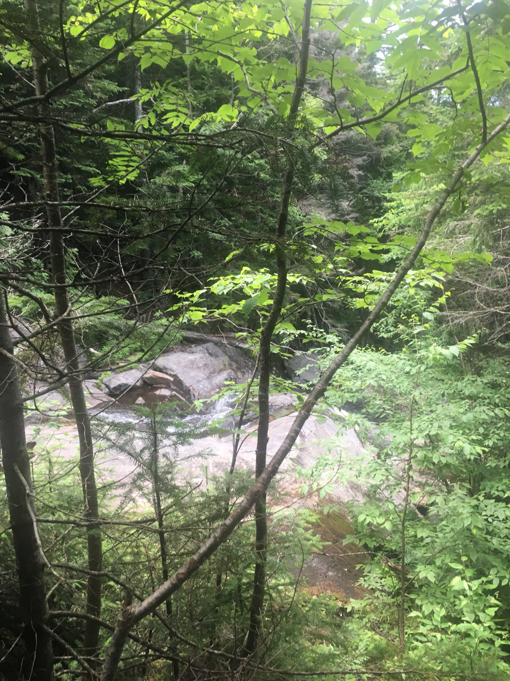
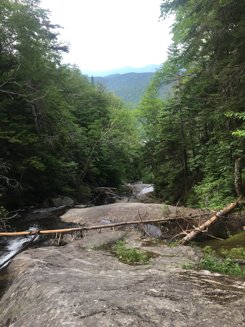
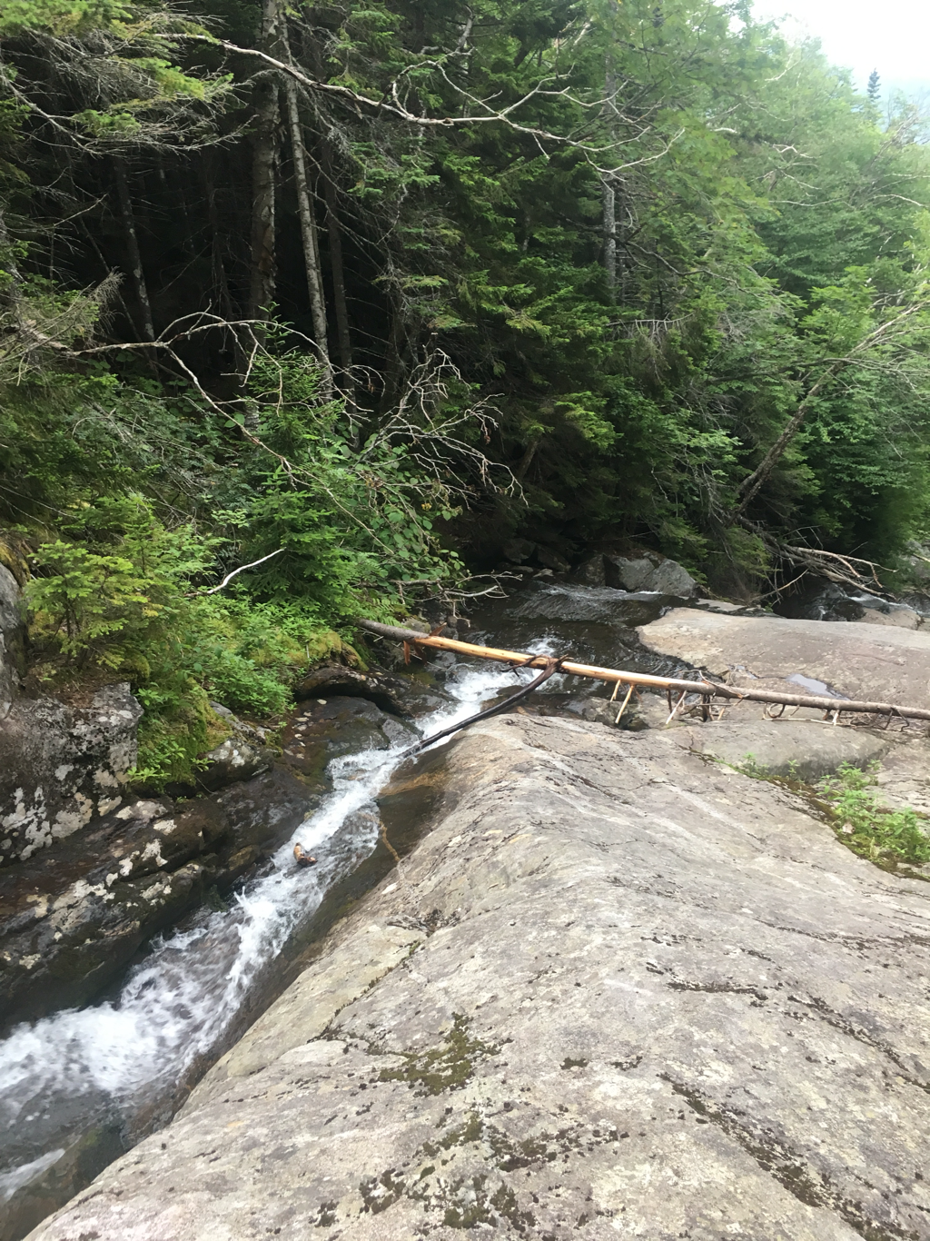
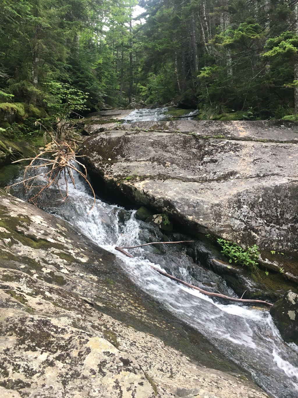
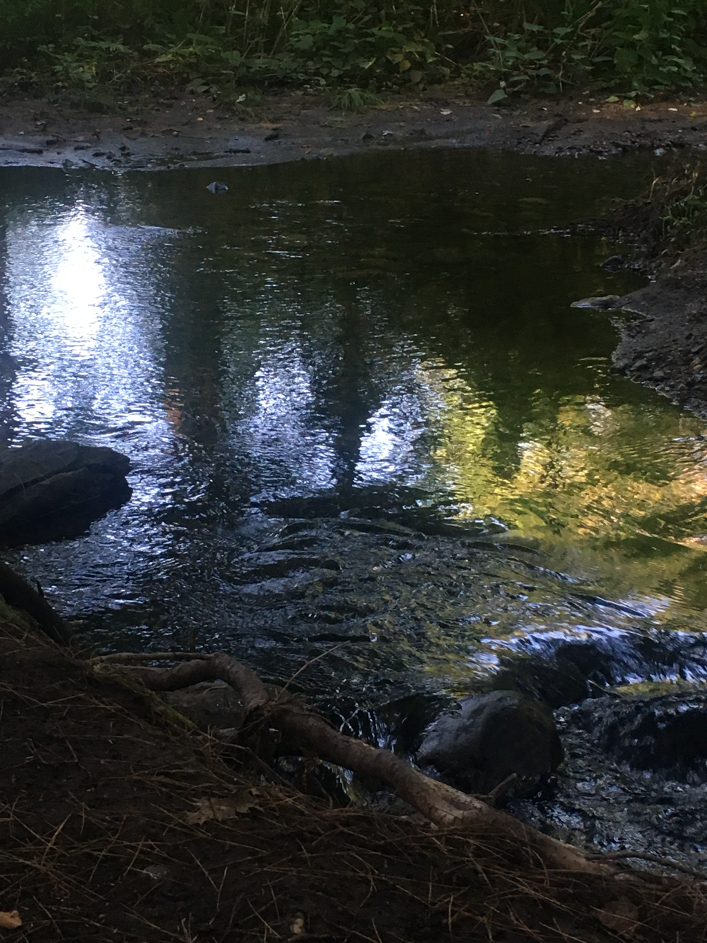
New Hampshire has been better than I could have ever imagined, some of the most beautiful country I have had the pleasure to visit. This particular area is popular for the waterfalls, I have seen several and signs for trails to several more.
Stopped at a country store yesterday that also had campgrounds, 100 sites at $36. each and they are able to rent them all out. The camp grounds in the parks also are full, seen signs NO VACANCY at the entrance to a couple. Mount Washington is a huge tourist attraction, several trails lead to the top, cog train ride to the top is also available as is access by car... a full time weather station is on top, a snack bar with chili and hotdogs... yes, I plan on tasting a couple...
Sitting in the dining area drinking coffee, paid for the hot water... starting to get the dinner crowd so I need to make another cup and get ready to make room for the real customers lol
07/26/2017
The Hut breakfast AMC has the huts, 7 or 8 of them on the AT up in this area... they are just rugged hotels/hostels... $100. a night... drinking coffee and watching them serve breakfast... they drop a plate of pancakes off at the end of the table, you take one or two and pass the plate on down to the next person (so if you stay at a hut, sit at the end of the table that gets first chance) oatmeal, two big bowls, take a spoonful or two and pass it on down... huts have no napkins or paper towels for that is trash that has to be carried out, use the back of your hands!!!
Staying at a Hut campsite... $10. and I got a pass that is good at any of the four remaining huts for a bowl of soup and 2 pieces of cake (little pieces) I try to get soup for lunch at a hut if I can anyway and that normally cost $5. The remaining pay to camp shelters are suppose to be $5. Now rather than $10. They have started charging the $10. Per per per night to have people in site to take care of the privy and educate campers on taking care of the environment... I have learned a lot from their signs and watching/listening... funny how little we know... The huts have bunk rooms, looks like 8 bunks per room and cost about $100. per night... not exactly cheap considering, still it includes breakfast and dinner...
Decided to stay because I am about to hit a stretch of trail above the tree line, 12 miles worth and camping above the tree line is not allowed. This place puts me in position to hopefully do 15 tomorrow the 26th.
New Hampshire has been better than I could have ever imagined, some of the most beautiful country I have had the pleasure to visit. This particular area is popular for the waterfalls, I have seen several and signs for trails to several more.
Stopped at a country store yesterday that also had campgrounds, 100 sites at $36. each and they are able to rent them all out. The camp grounds in the parks also are full, seen signs NO VACANCY at the entrance to a couple. Mount Washington is a huge tourist attraction, several trails lead to the top, cog train ride to the top is also available as is access by car... a full time weather station is on top, a snack bar with chili and hotdogs... yes, I plan on tasting a couple...
Sitting in the dining area drinking coffee, paid for the hot water... starting to get the dinner crowd so I need to make another cup and get ready to make room for the real customers lol
07/26/2017
The Hut breakfast AMC has the huts, 7 or 8 of them on the AT up in this area... they are just rugged hotels/hostels... $100. a night... drinking coffee and watching them serve breakfast... they drop a plate of pancakes off at the end of the table, you take one or two and pass the plate on down to the next person (so if you stay at a hut, sit at the end of the table that gets first chance) oatmeal, two big bowls, take a spoonful or two and pass it on down... huts have no napkins or paper towels for that is trash that has to be carried out, use the back of your hands!!!
07/25/2017
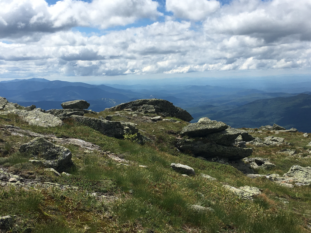
Nine miles or less from the infamous Mount Washington... they have had winds of 200 mph there... highest in the world (do not know if that is still true) will summit it tomorrow, better weather...
Nine miles or less from the infamous Mount Washington... they have had winds of 200 mph there... highest in the world (do not know if that is still true) will summit it tomorrow, better weather...


23/07/2017
Great morning for a hike!!
Great morning for a hike!!
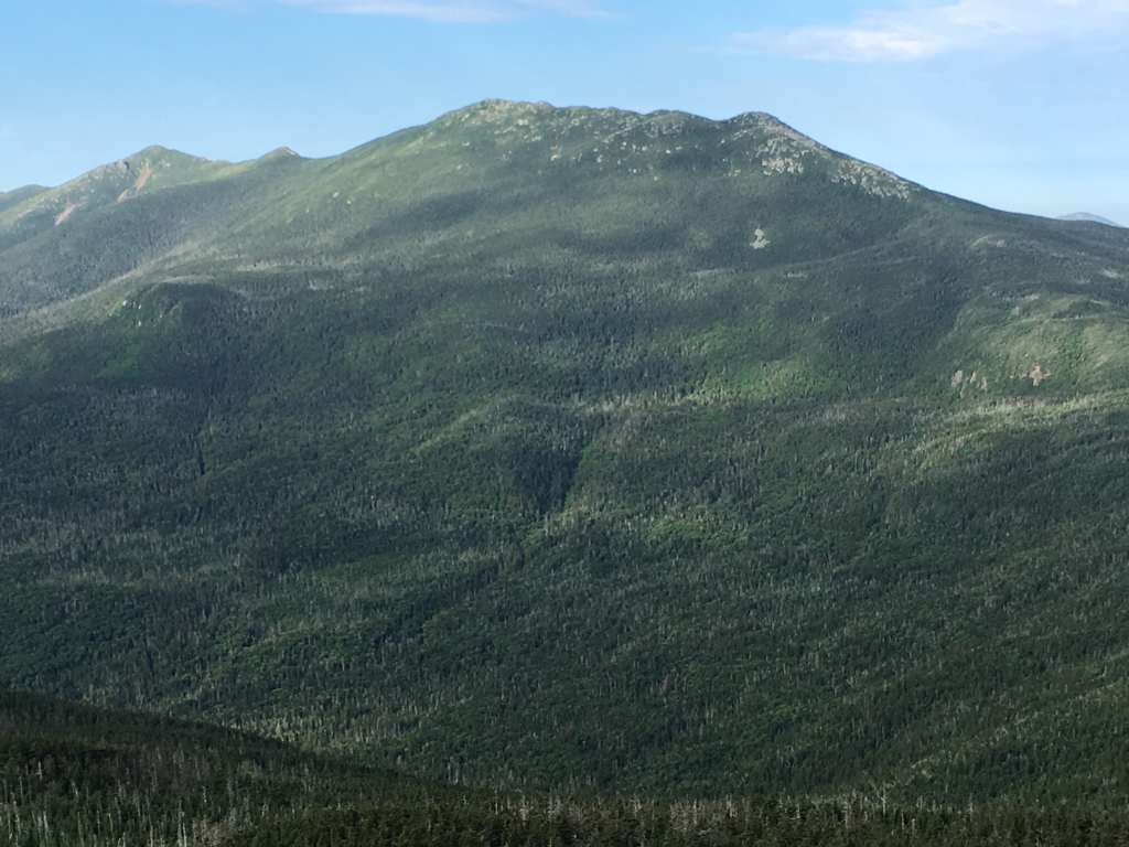
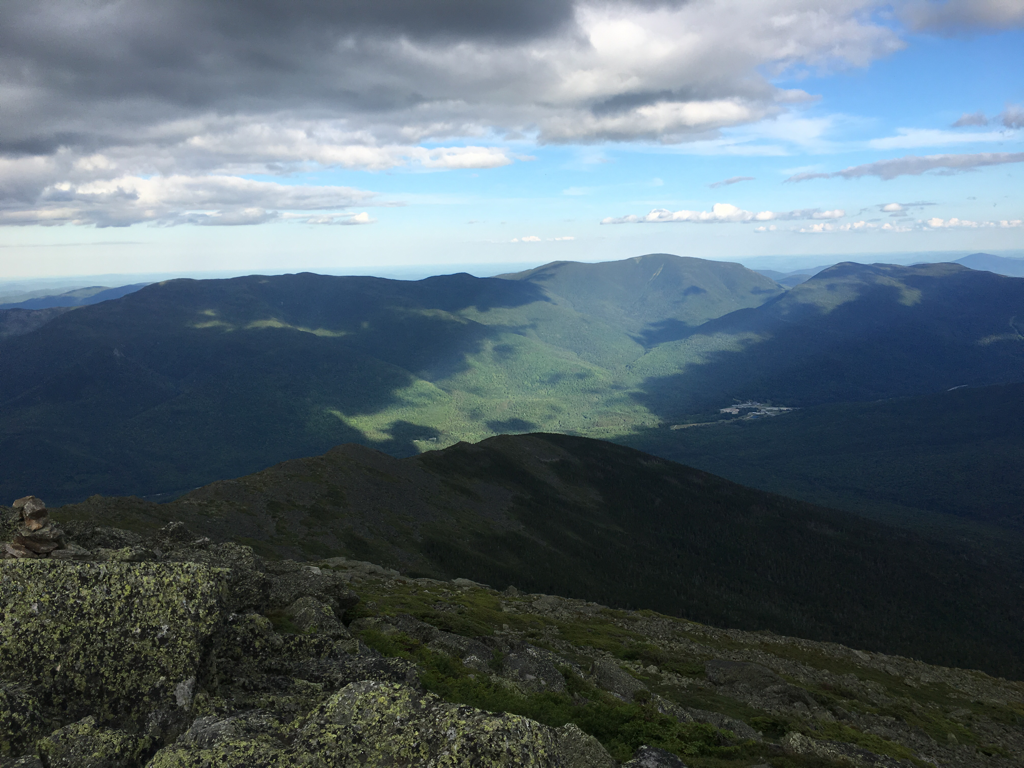
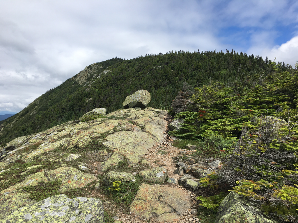
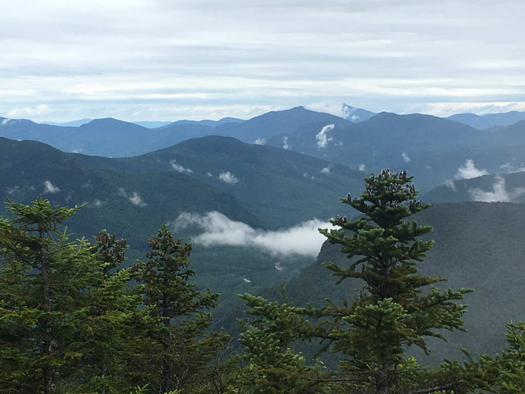
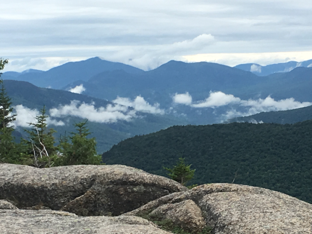
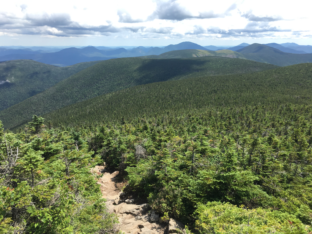
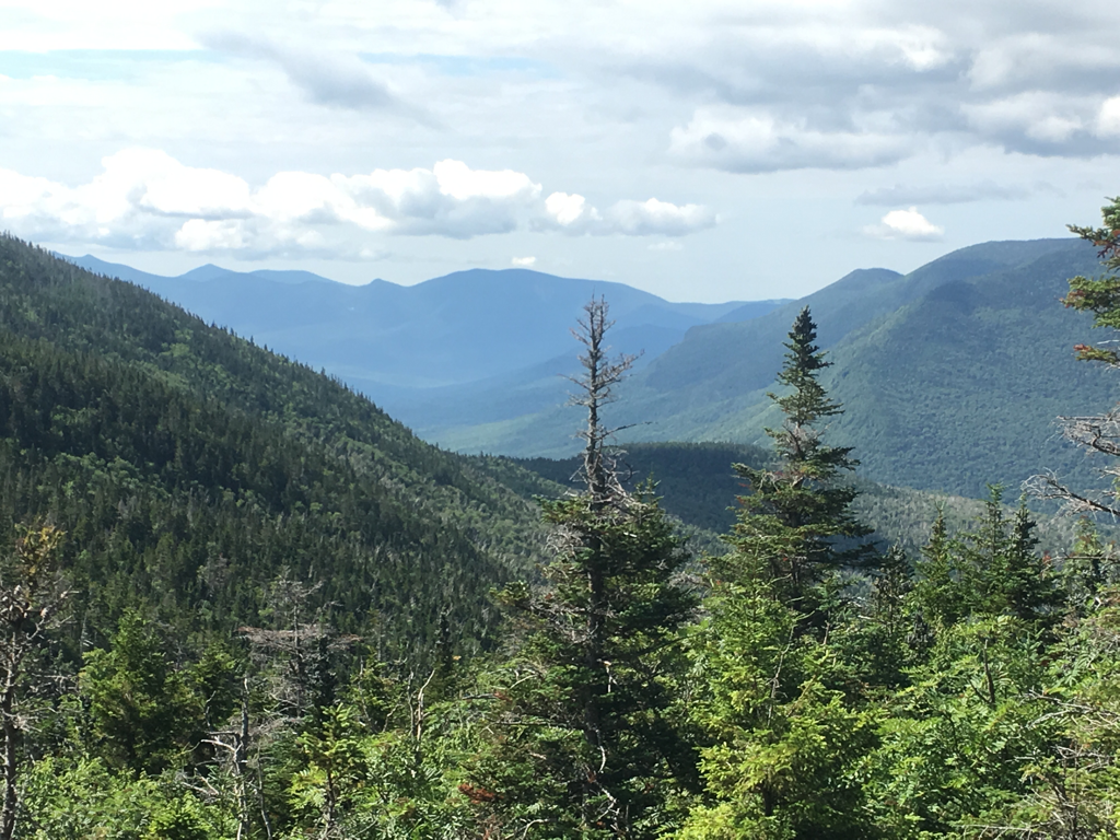
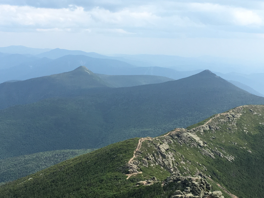
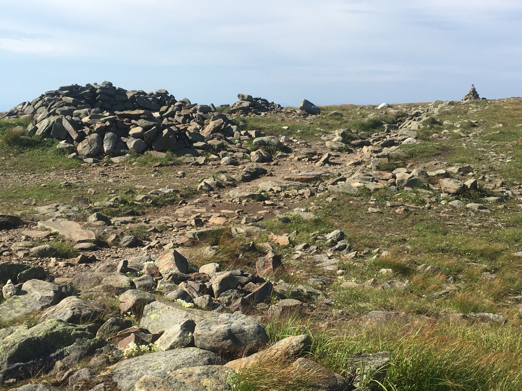
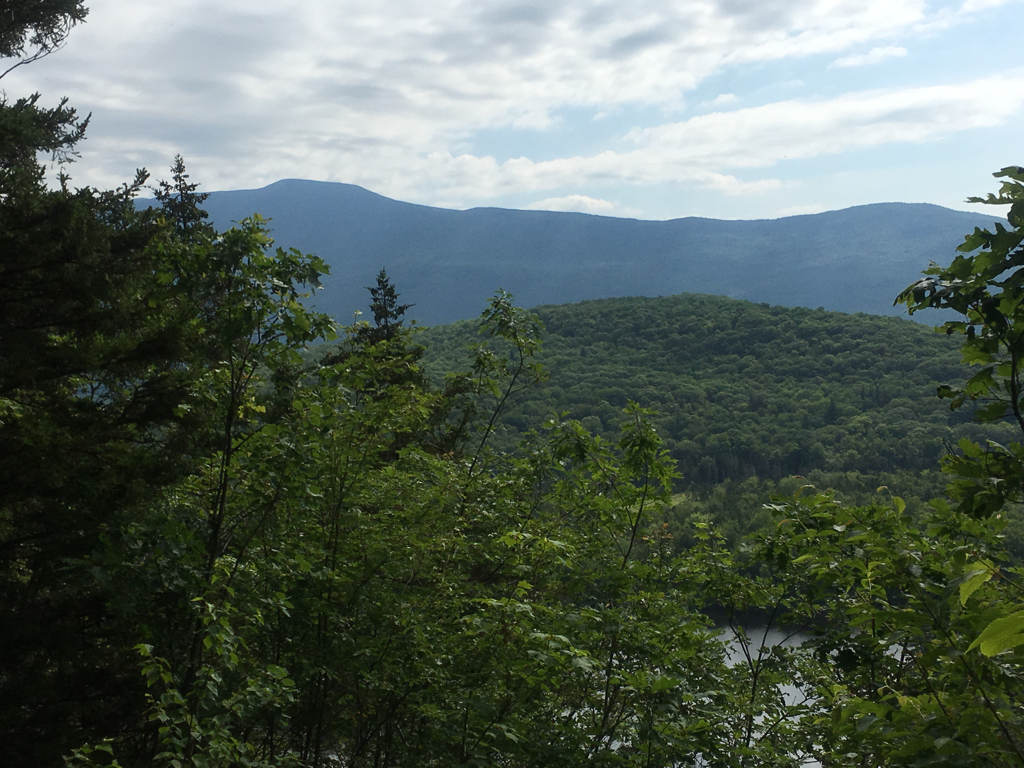
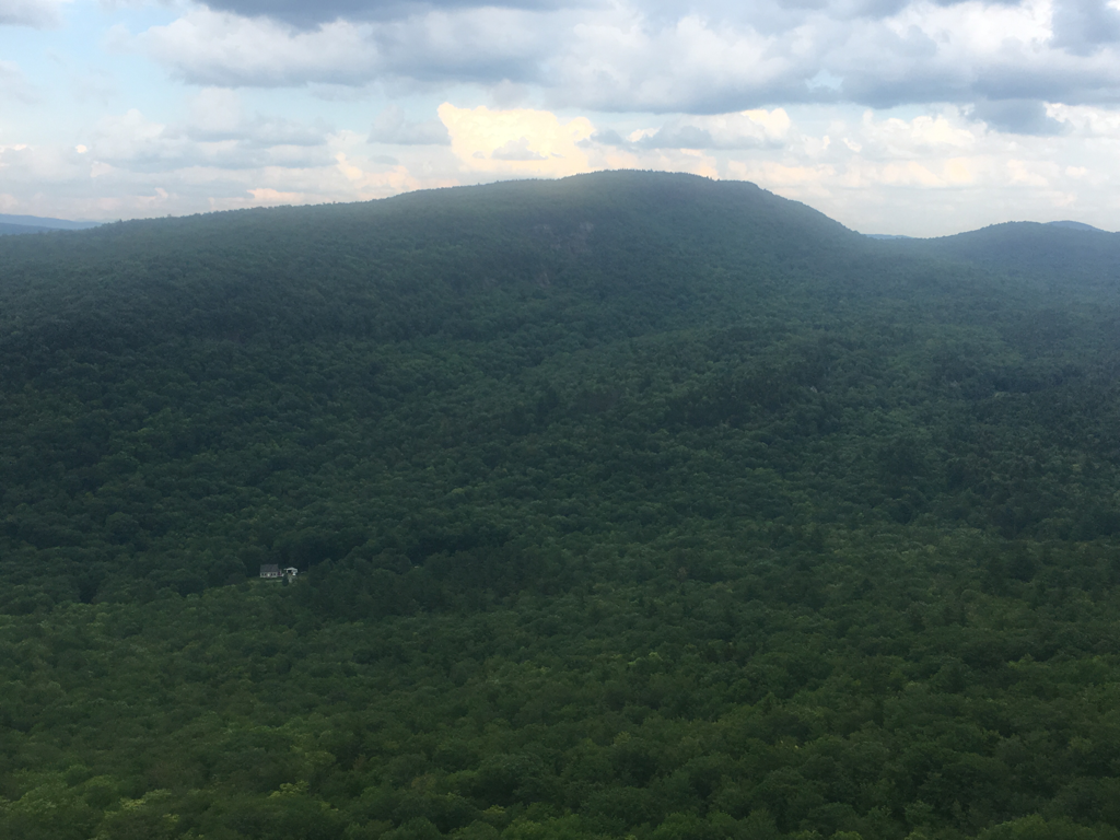
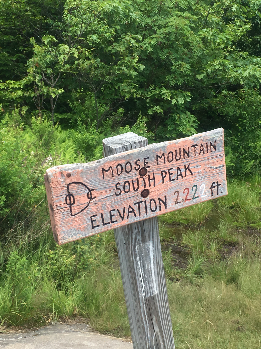
View from South Twin 4893 ft elevation


22/07/2017
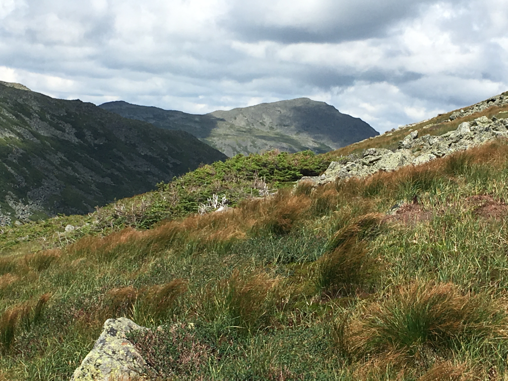
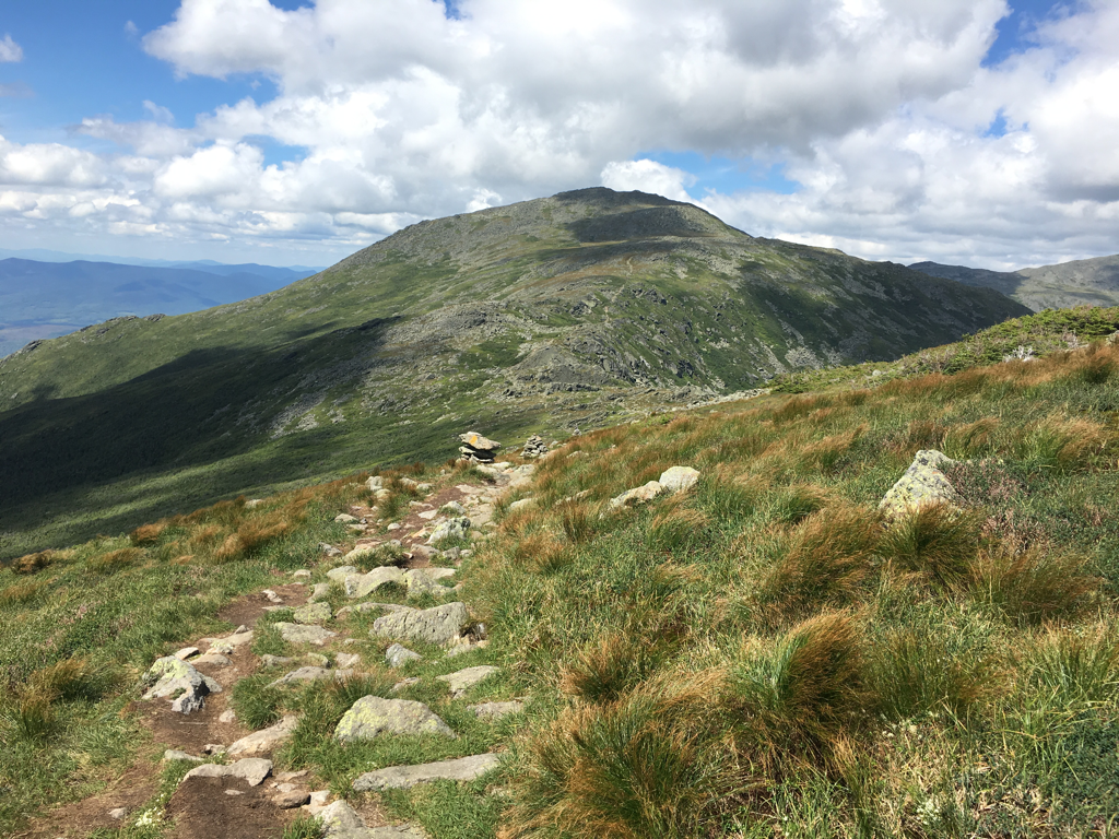
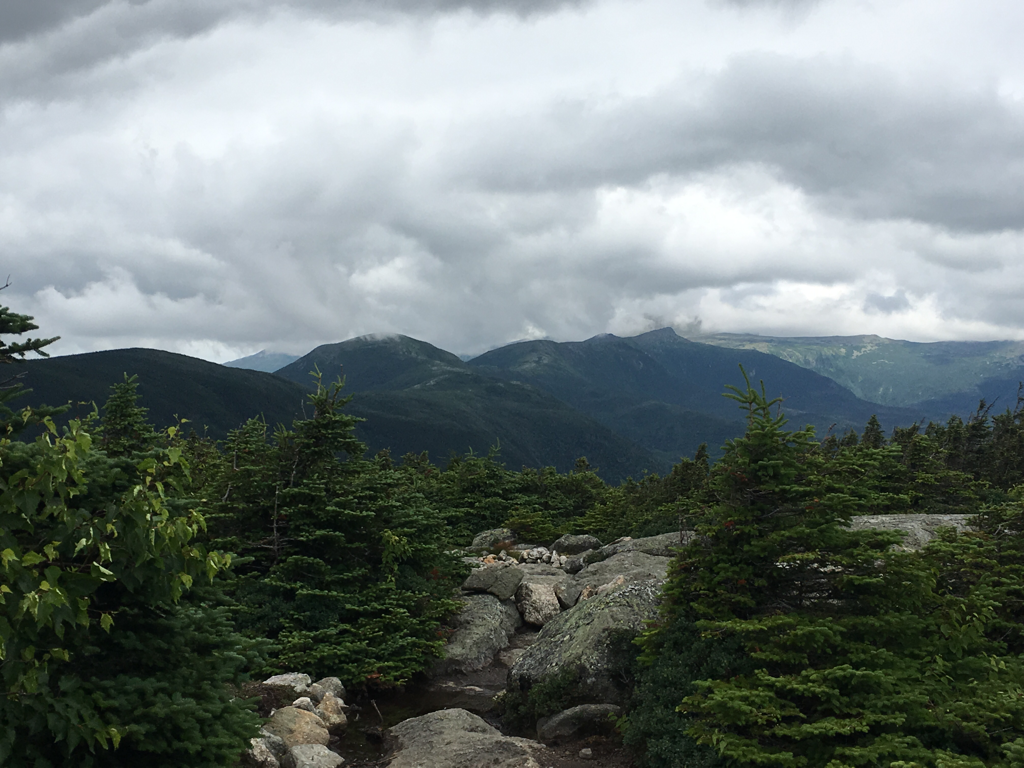
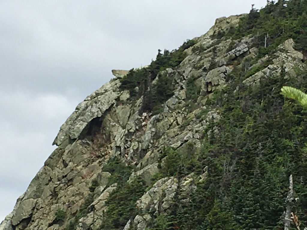
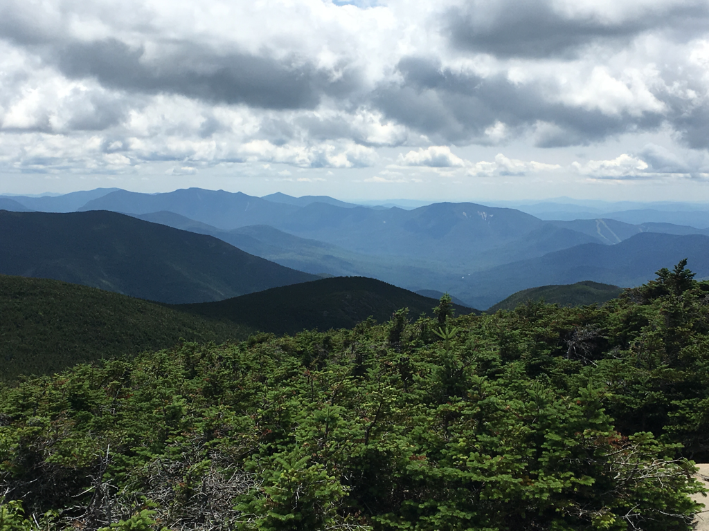
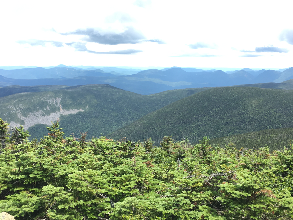
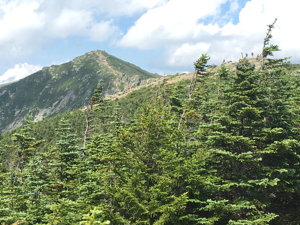
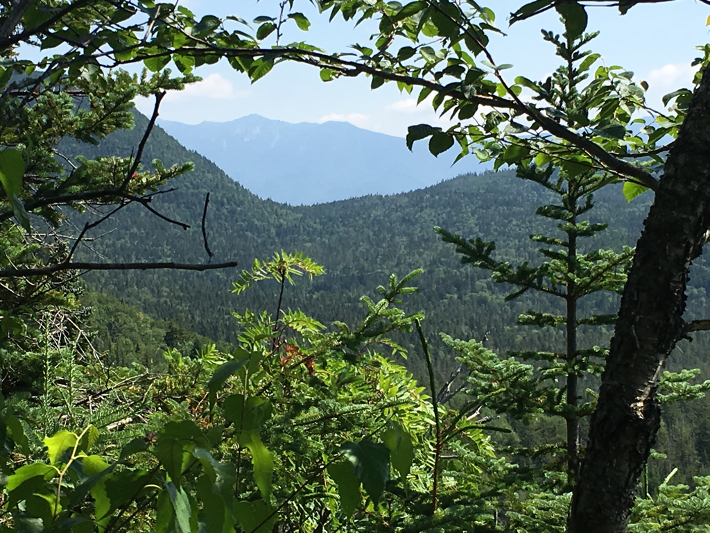
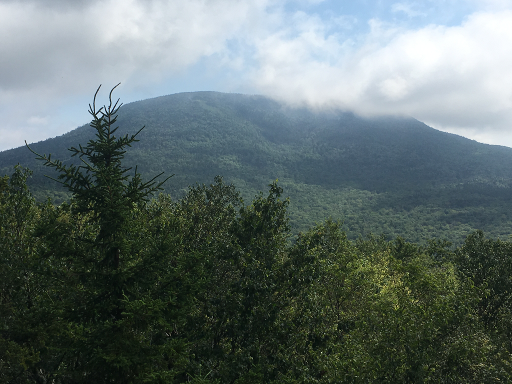
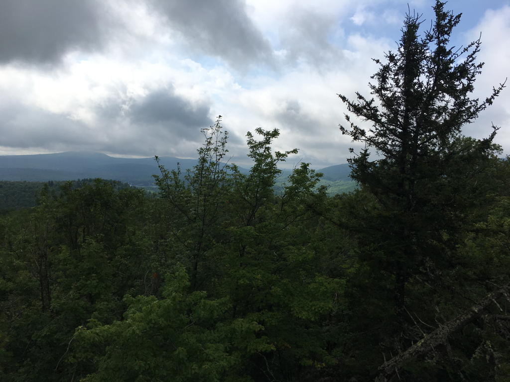
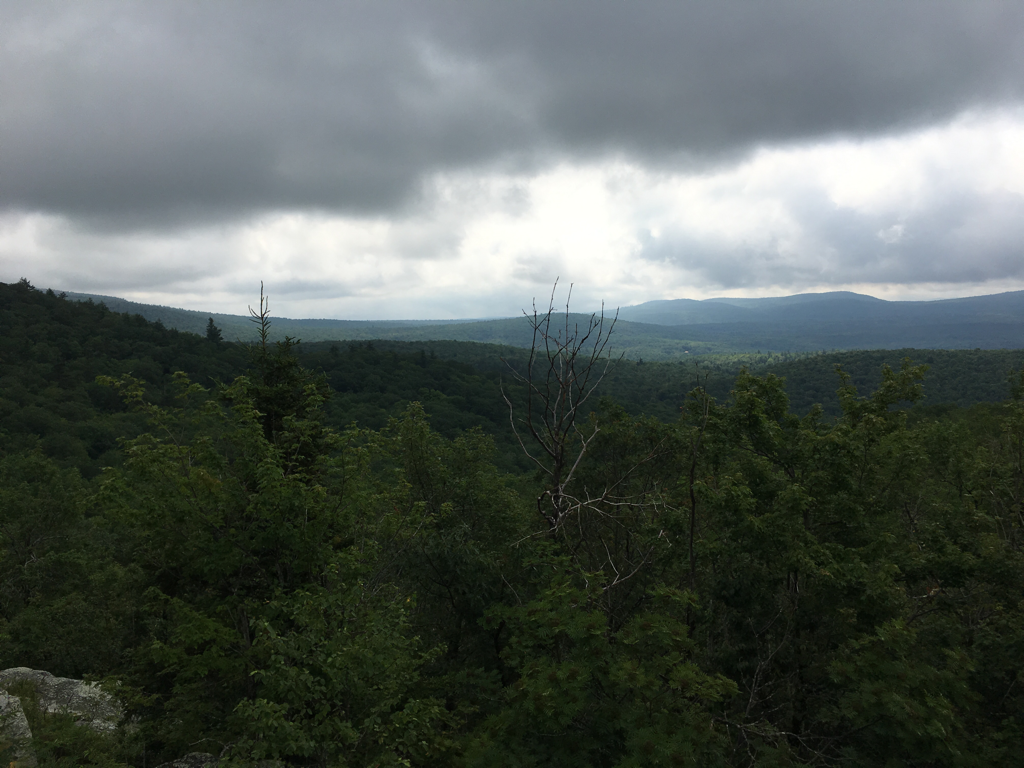
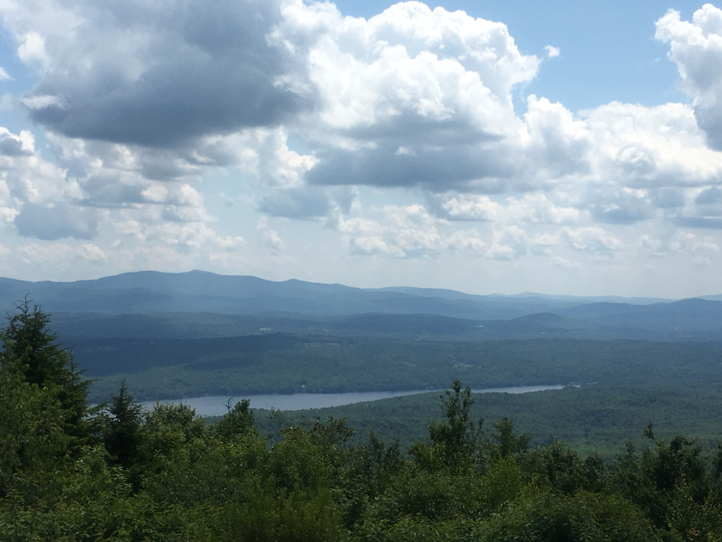
Been hiking 6 hours now, lol all up hill... reached one of the peaks, Little Haystack Mountain... view is amazing... looking at some of the mountains, one has a rock face... little hazy off in the distance...
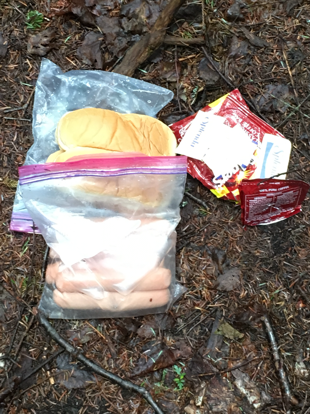
Ate at a Hut this morning, pancakes, eggs and a piece of cake, oh coffee and apple juice also
Been hiking 6 hours now, lol all up hill... reached one of the peaks, Little Haystack Mountain... view is amazing... looking at some of the mountains, one has a rock face... little hazy off in the distance...
Ate at a Hut this morning, pancakes, eggs and a piece of cake, oh coffee and apple juice also
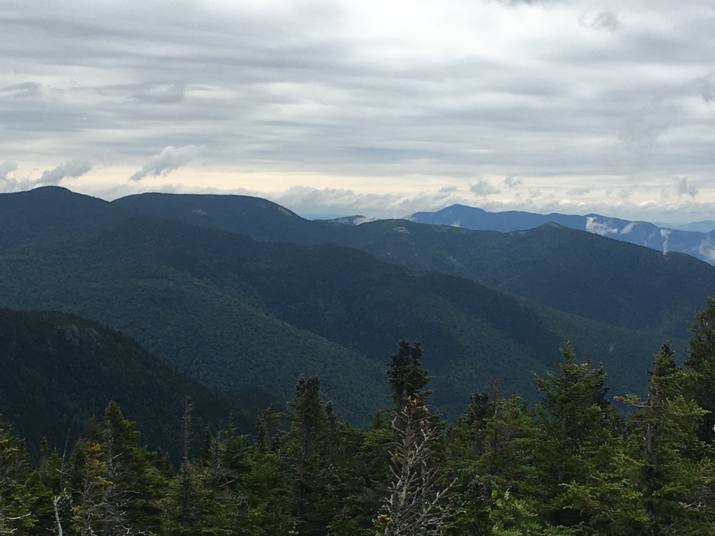
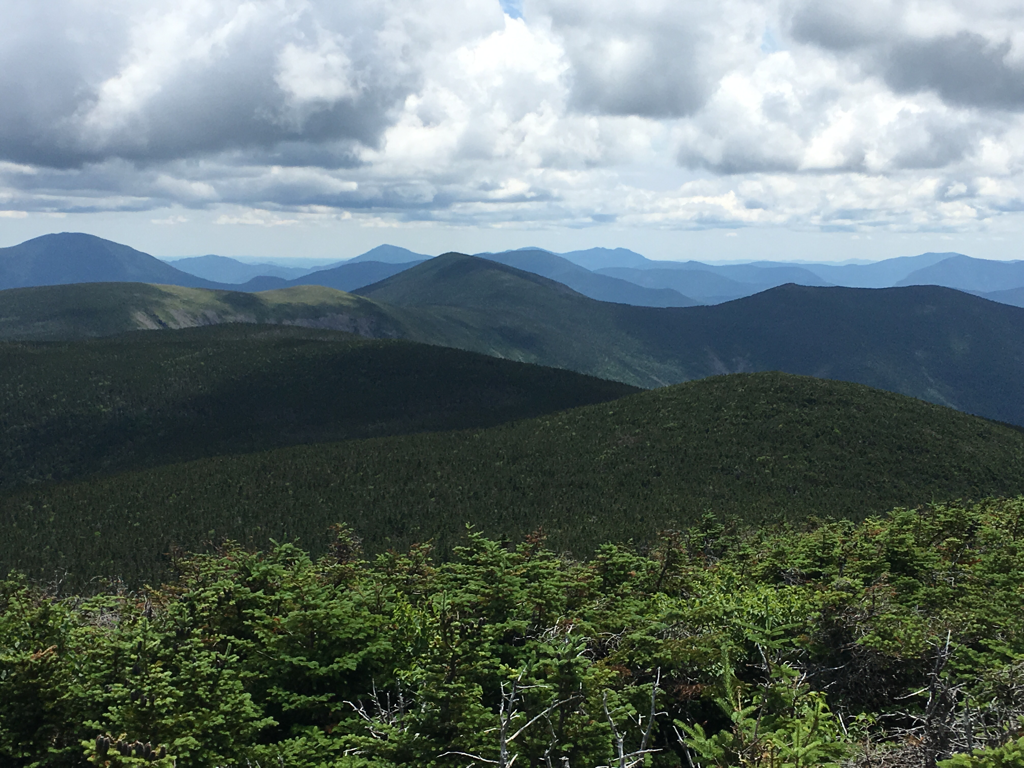
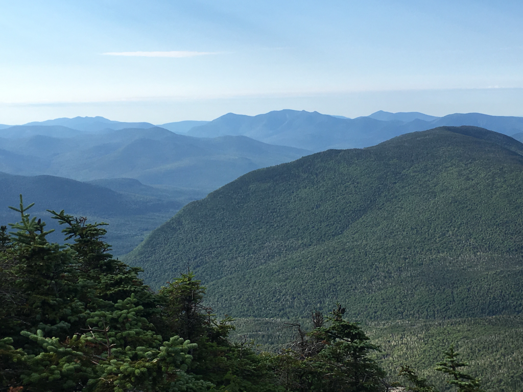
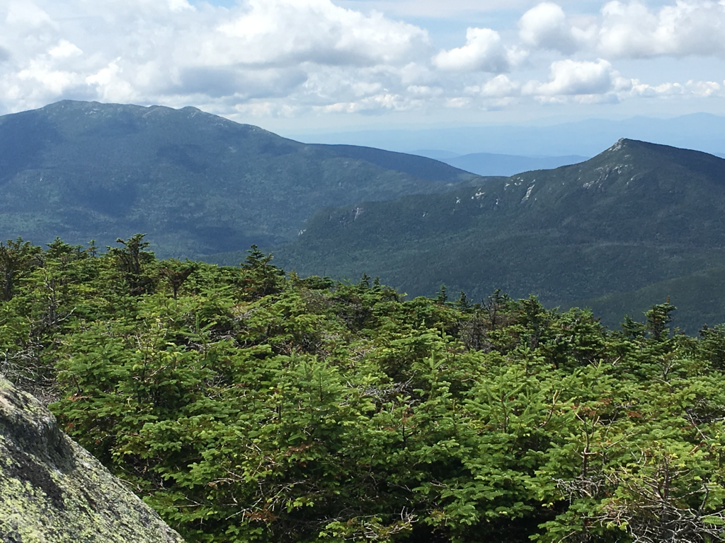
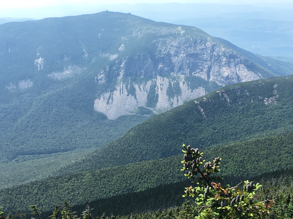
View from Mount Lincoln
21/July/2017
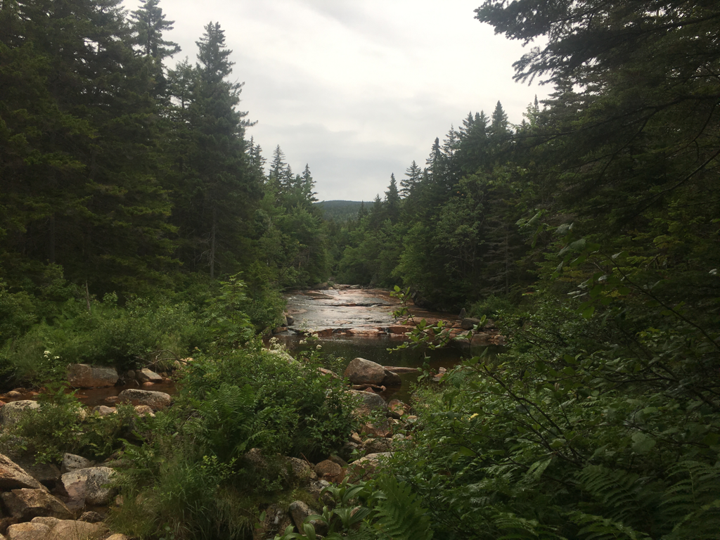
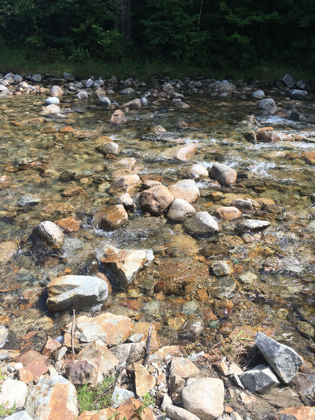
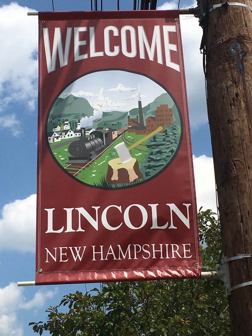
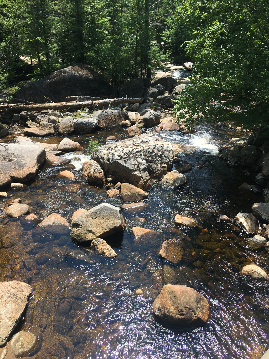
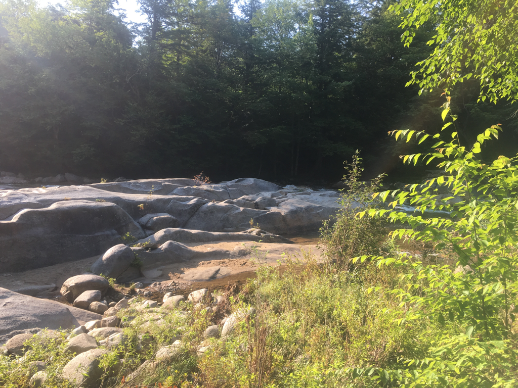
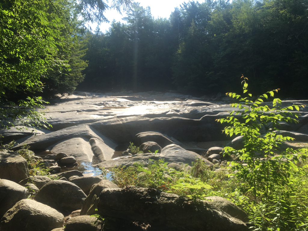
Back on the trail today... I have been passing a lot of south bounders sobo's who started on either the 1st or 7th of June... hearing great things about the trail ahead so I am really looking forward to the hike... stopped in Lincoln New Hampshire, a tourist town but very nice... the river flowing here has a bed of rock...
Back on the trail today... I have been passing a lot of south bounders sobo's who started on either the 1st or 7th of June... hearing great things about the trail ahead so I am really looking forward to the hike... stopped in Lincoln New Hampshire, a tourist town but very nice... the river flowing here has a bed of rock...

08/20/2017
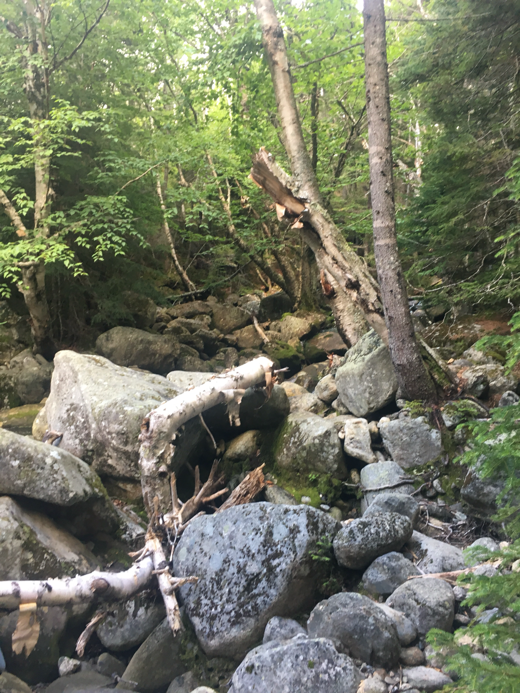
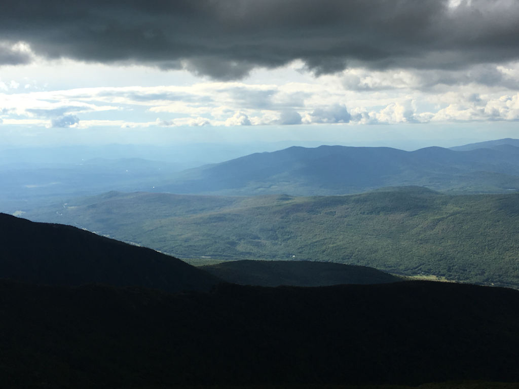
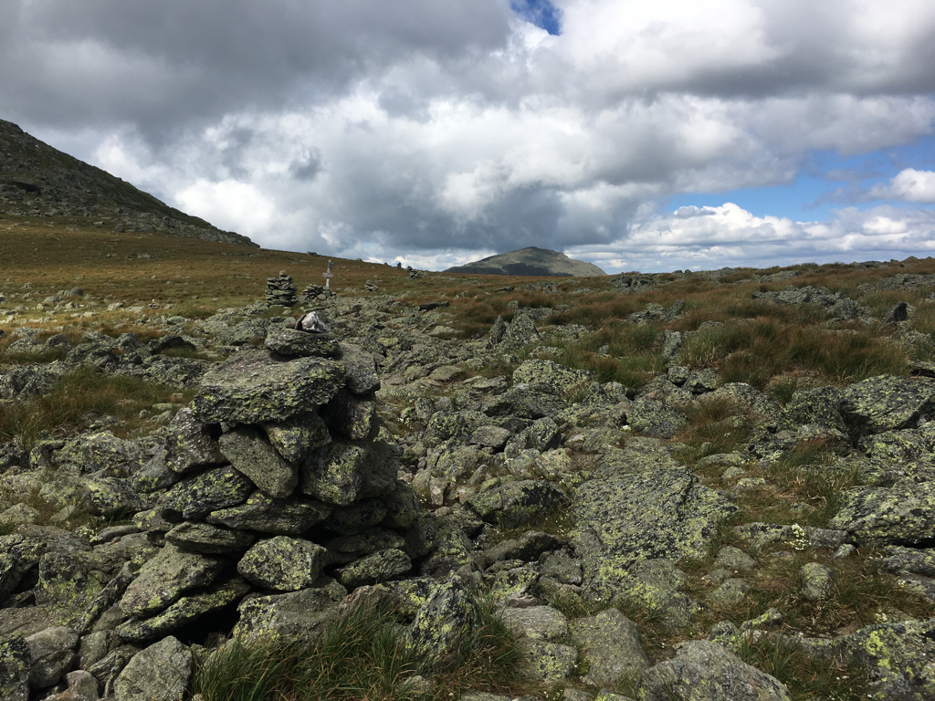
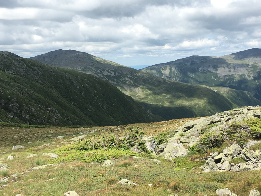
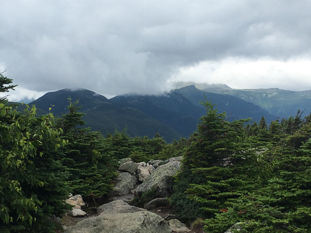
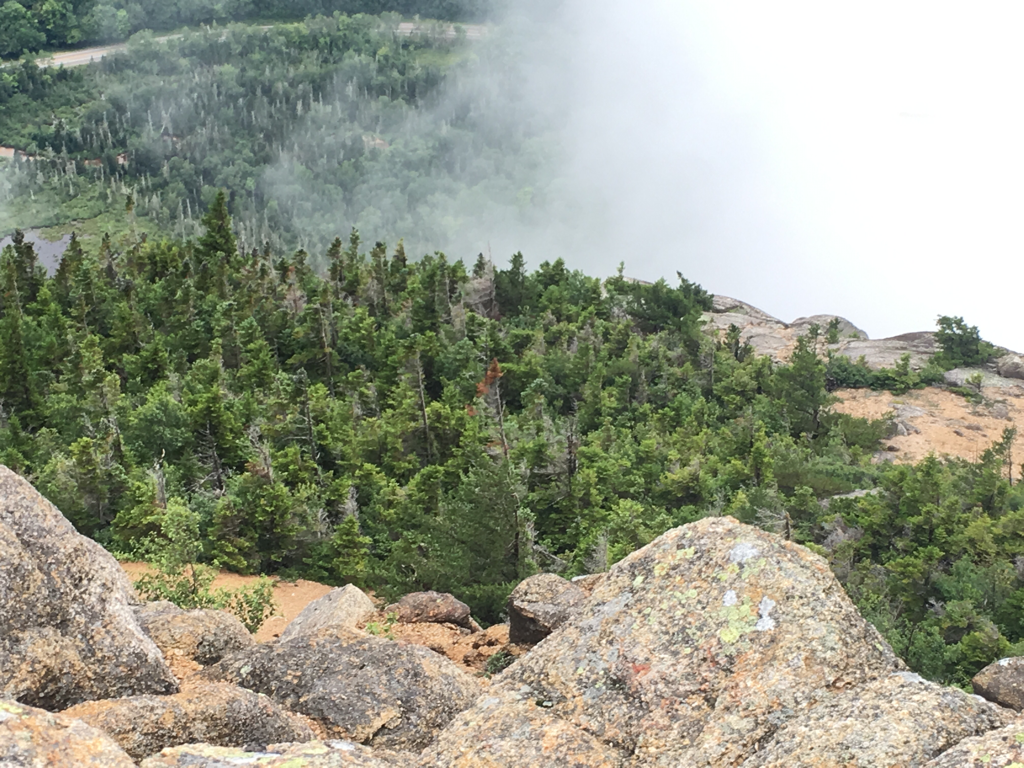
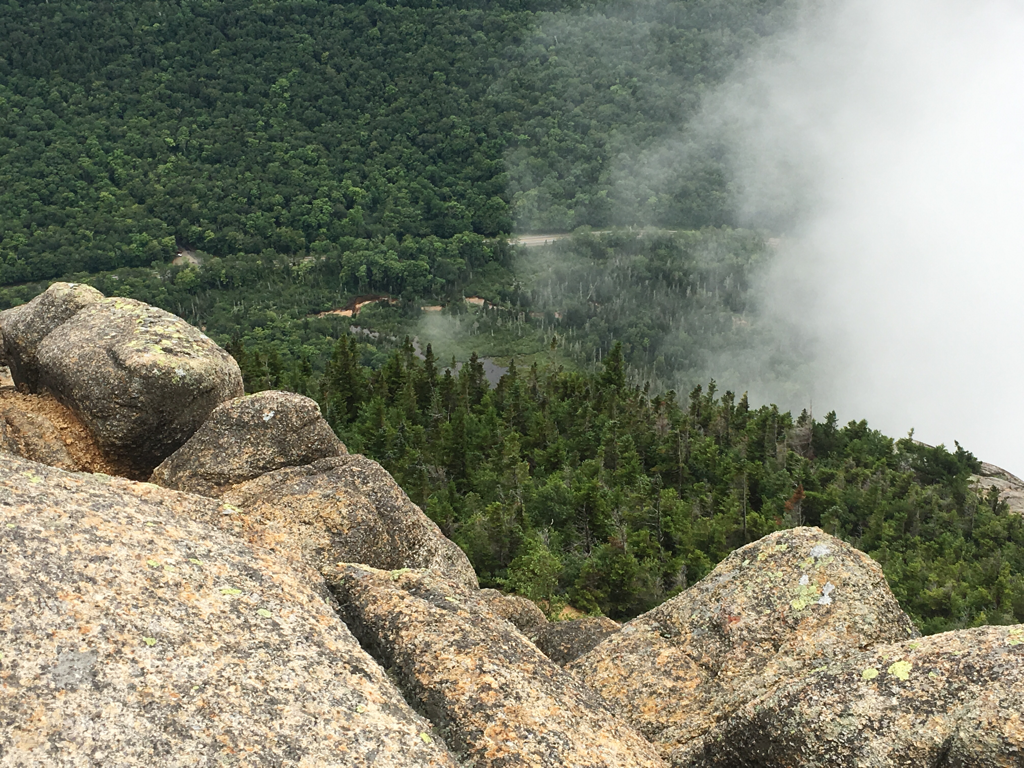
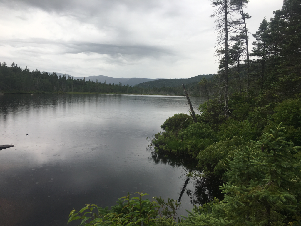
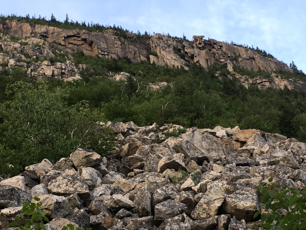
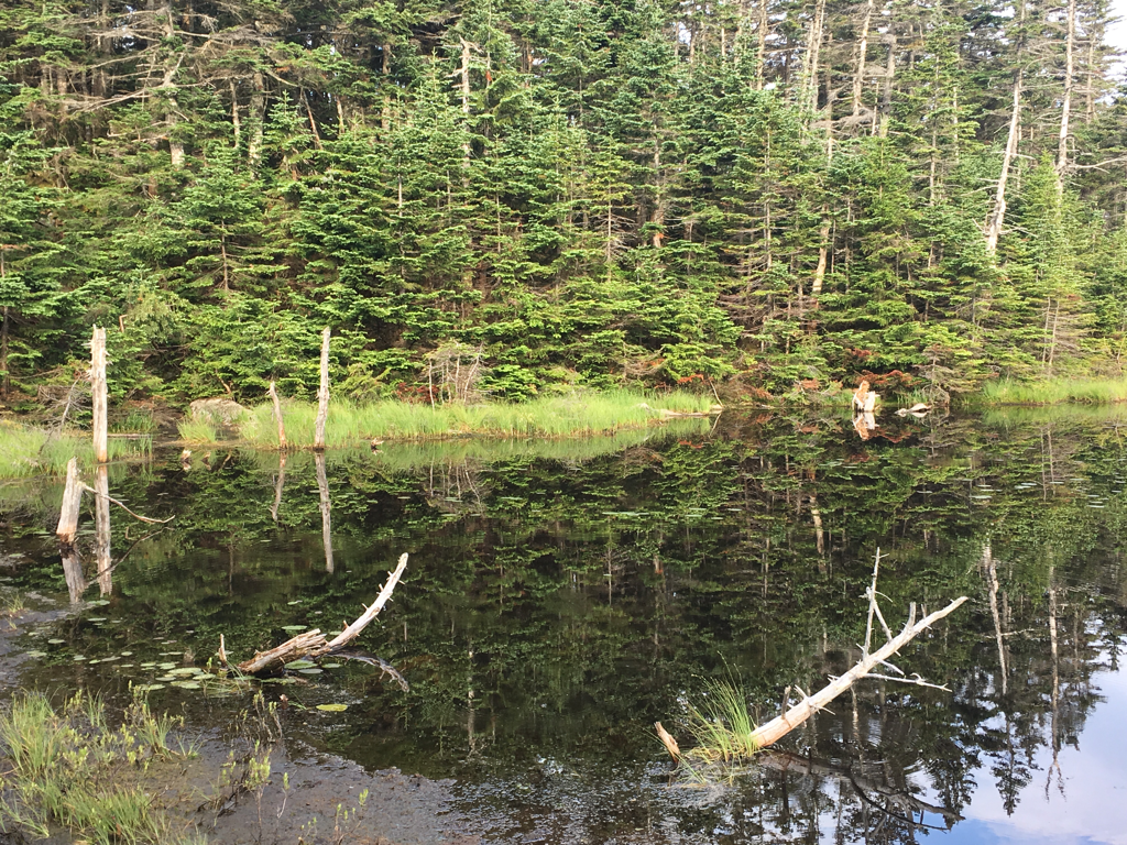
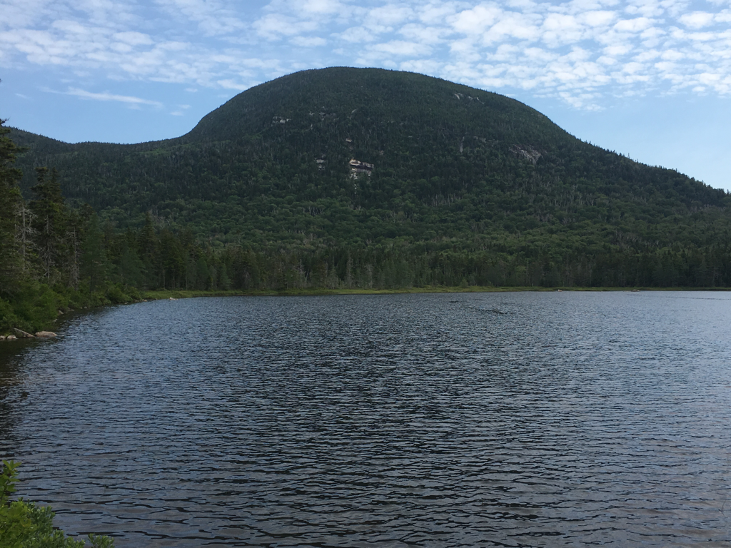
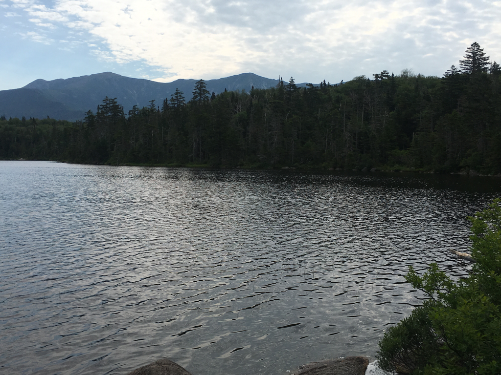
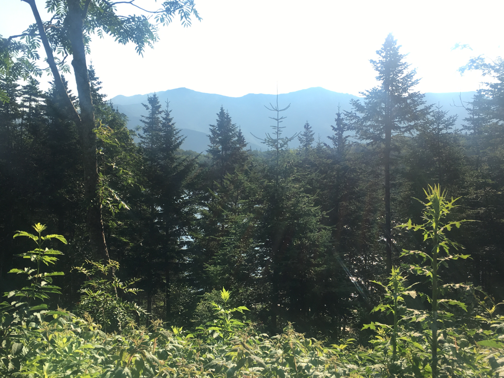
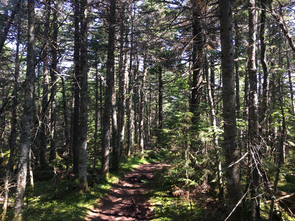
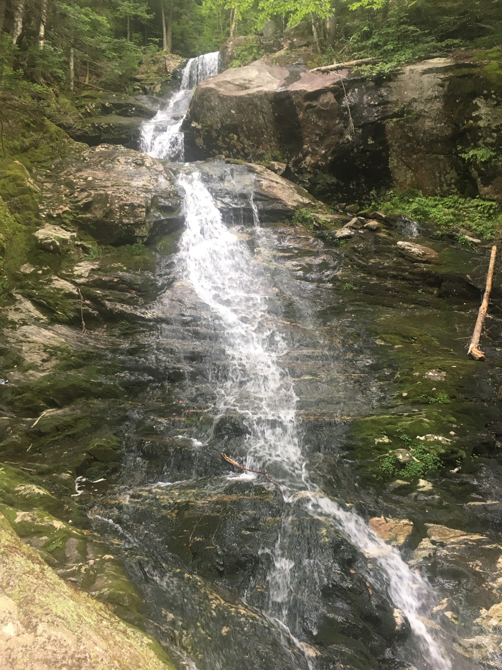
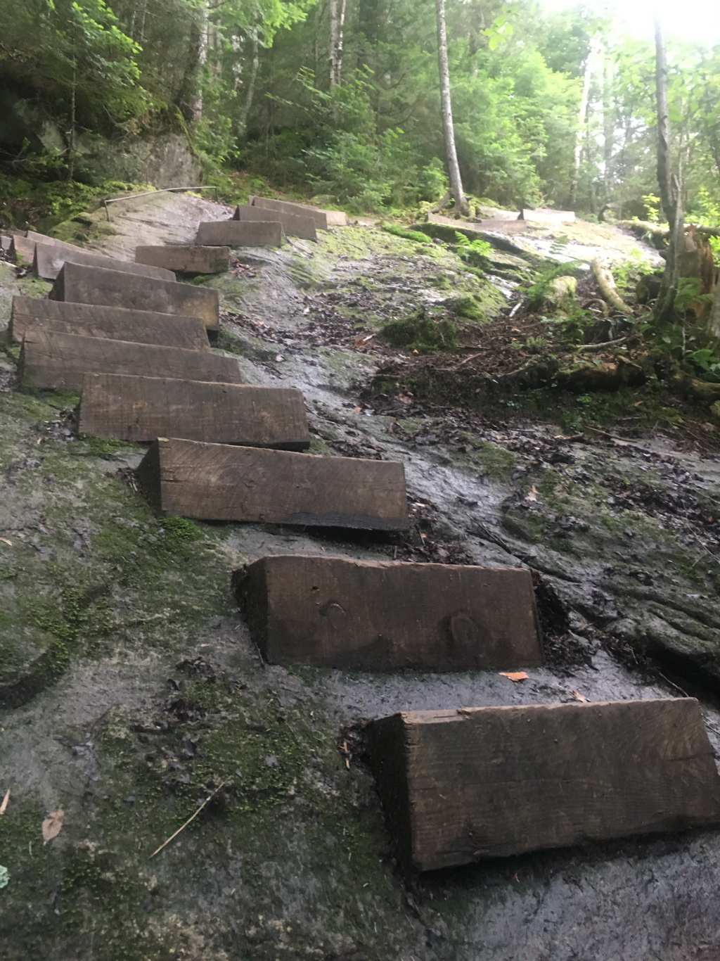
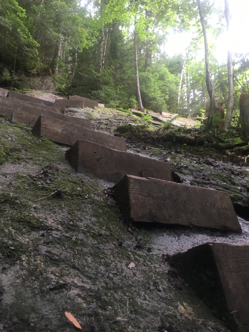
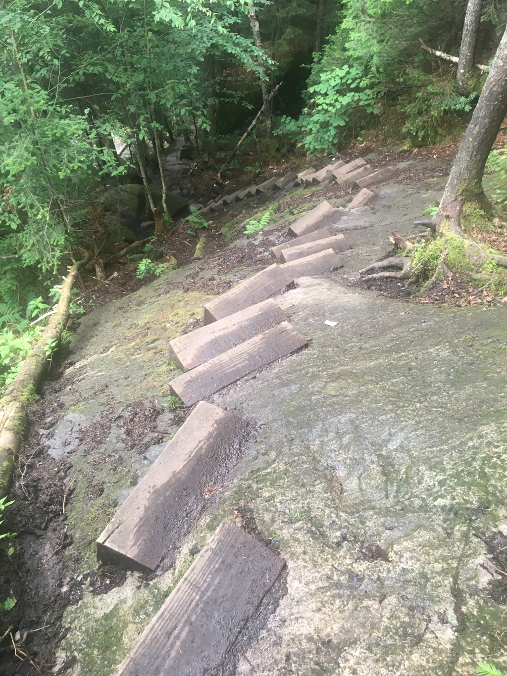
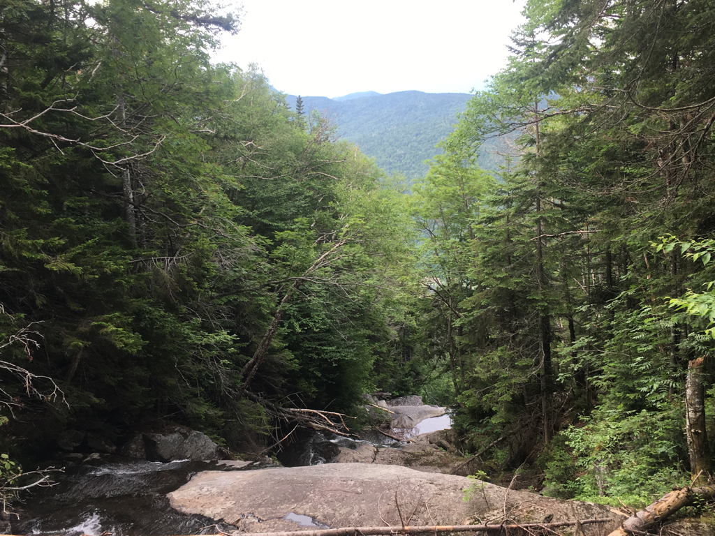
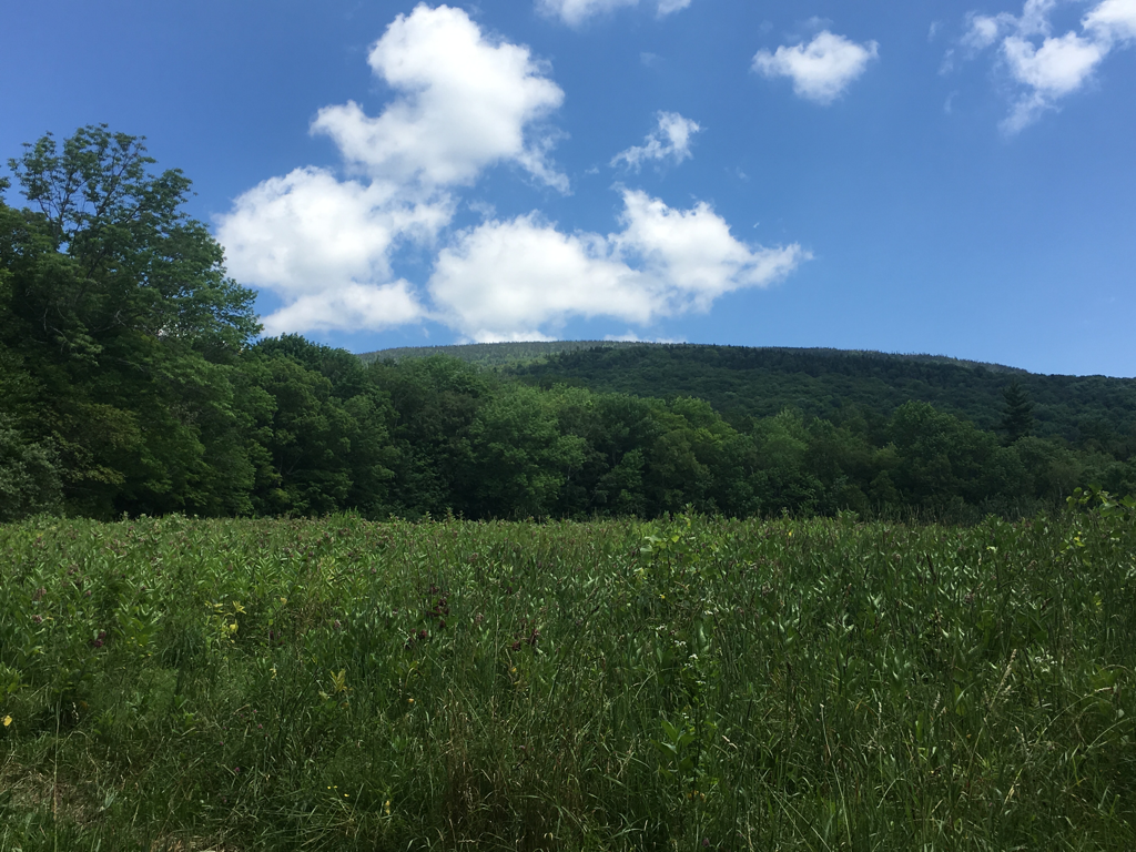
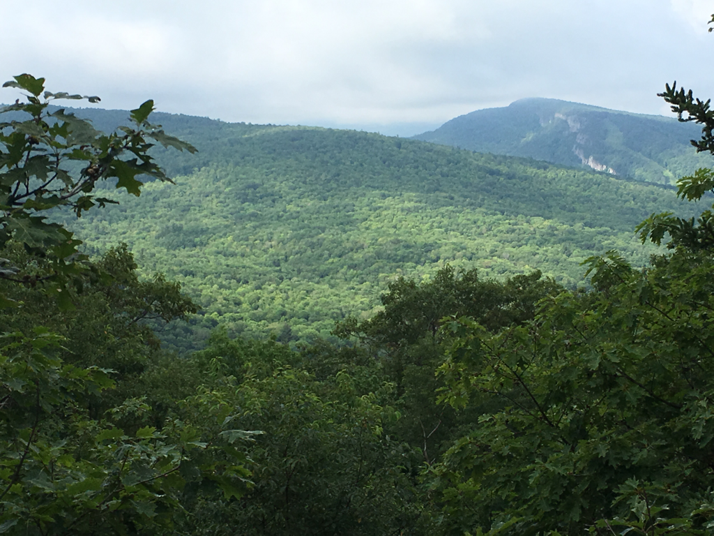
In North Woodstock New Hampshire for resupply, last chance for a while, the Whites are sort of secluded, should be an interesting week or two. Yesterday I hiked Moosilauke, the first of 30 peaks over 4,000 feet elevation... it met it's reputation... very steep going up and very steep going down... the view was beautiful... hiked along a waterfall, or set of waterfalls that were beautiful, the stream parrelled the trail, I listened to the falls as I hiked down the mountain. The map shows several other falls and of course the water supply will dictate their beauty. Of course the greater their flow the muddier the trail. The majority of the Whites are in New Hampshire 3/4, still they continue into Maine. At this time I am under 400 miles... my body aches, my feet feel like they are in shoes three suzes to small, my legs are eaten up by chiggers, the itching keeps me up at night... I still use mole skin to hold my toes together... pants get so muddy I can stand them outside my tent after they harden in the evening... still I wake each morning with excitement knowing I will see some of mother nature's most beautiful country... this is my first time in the New England States... here in North Woodstock one can purchase a summer home for $800,000. One of the locals said they get used a few weeks out of the year by the owners... Northern New Hampshire is sparsely populated abd relies on tourism to survive... a very laid back lifestyle, I am envious of the people who live here, still they can keep their cold winters...
07/18/2017
07/17/2017
Yesterday was an easy day, had a chance to see the northern lights last night so I stopped early so as to have a good place to view them... no sleep for this old man, sadly no northern lights either... not at my location, still enjoyed the night... still 2 days from the start of the Whites... also I am in New Hampshire, Maine is next, Baxter State park is getting closer...
Why are the White Mountains So Tough?Philip Werner White Mountains, White Mountains Hiking and Backpacking
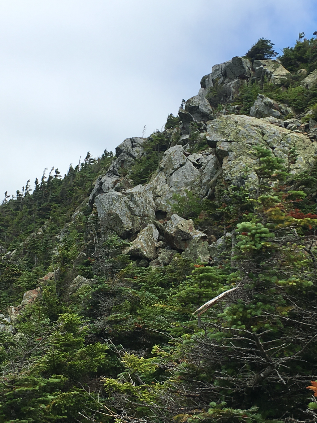
 Treeline Warning, White MountainsThe White Mountains in New Hampshire have a well-deserved reputation as a challenging place to hike. People are always a bit surprised by this because they’re not that high in elevation, only topping out at 6,288 feet on Mt Washington. Still, people come from around the the world to train for major international expeditions here because the Whites are so formidable, particularly in winter.
What makes them so tough?
Wind and WeatherBad weather is certainly a major factor. For example, the average wind speed on top of Mt Washington is 35 miles per hour, the winds on Washington exceed tropical storm force (40 mph) 110 days a year, the summit is covered in cloud 55% of the year and snow falls every month of the year. These mountains deserve respect!
Weatherwise you simply don’t hike in the Whites without carefully assessing the weather beforehand, planning days in advance. When you do get out, you need to be very alert to changes in cloud cover, white outs, thunder and lightning, hail. In cool or wet weather, hypothermia and frostbite are very real risks because the mountain summits are usually 20 degrees cooler than the valleys and the wind accelerates evaporative and convective cooling.
 Lenticular Clouds Warn of Pending Rain or HailAvalanche TerrainA lot of people think that avalanche activity in the White Mountains is limited to Tuckerman and Huntington Ravines. That’s just not true. Snow avalanches occur all over the White Mountains in the King, Castle, Burt, and Ammonoosuc Ravines, in Crawford Notch, Franconia Notch, Carter Notch, Eagle Pass, the Pemigewasset, along the Kancamagus Highway, in fact anywhere where there’s a slope angle between 38 and 45 degrees. While Tuckerman and Huntington Ravines are the only places with snow rangers forecast avalanche danger, they occur throughout the White Mountains. Your best defense is to take an avalanche awareness class or avoid avalanche terrain in winter.
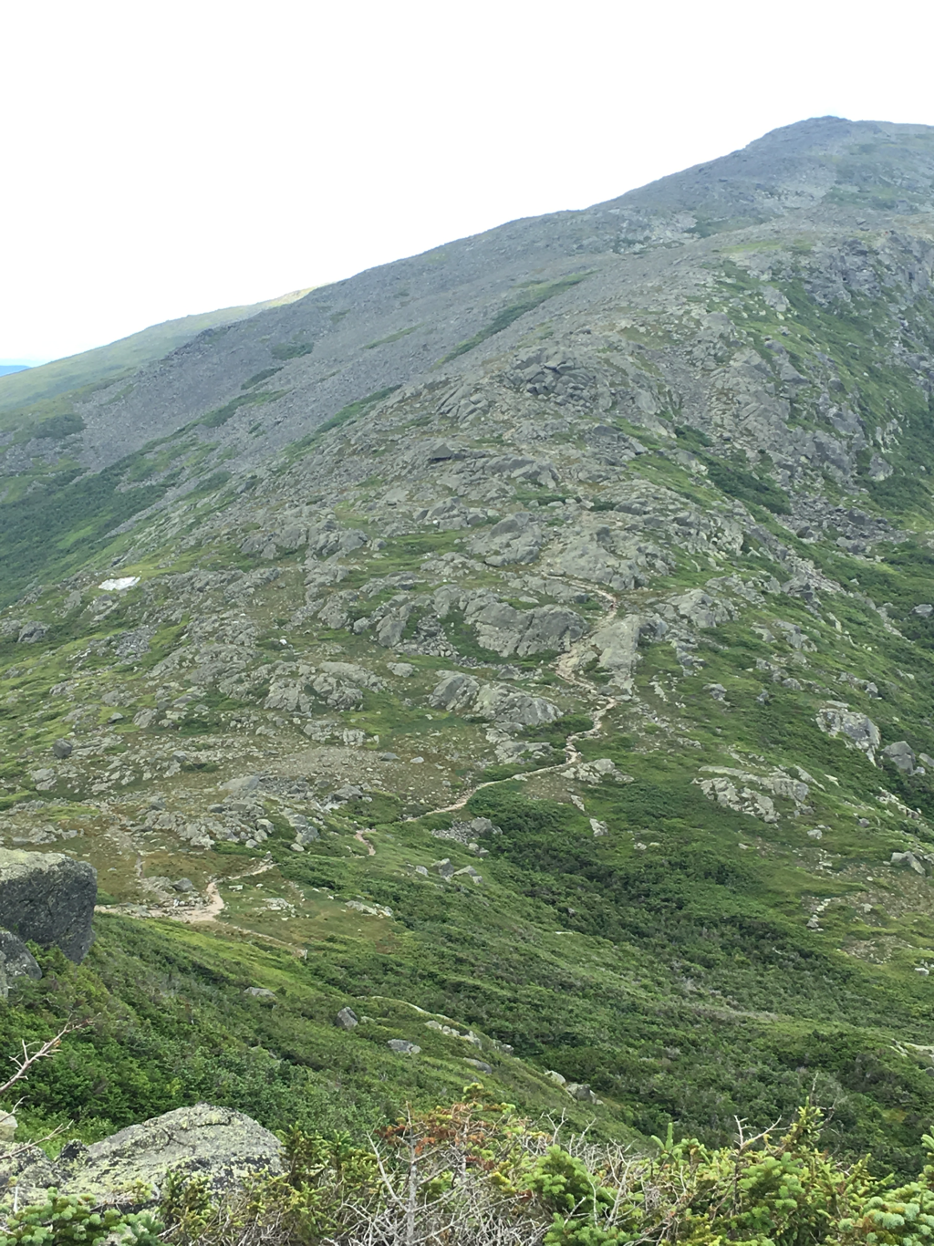
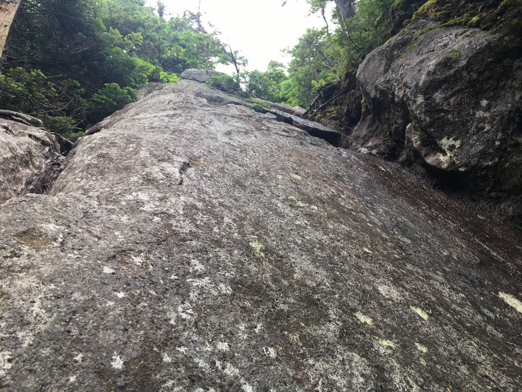
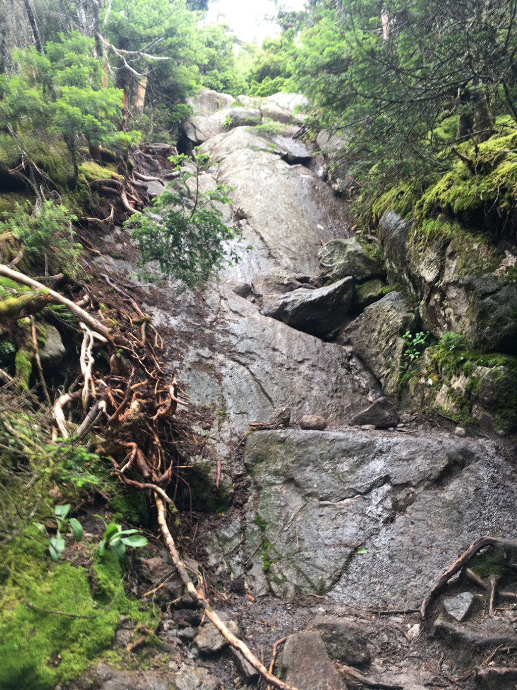
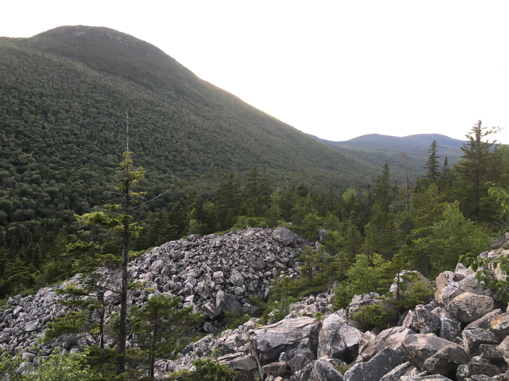
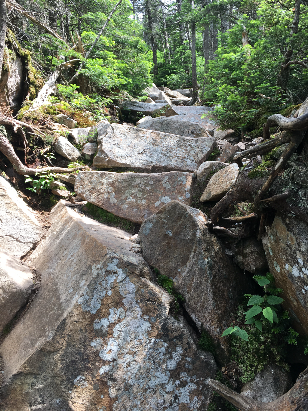
 Cannon Mountain: Avalanche and Rockfall ZoneTrail ConditionsPeople new to the White Mountains are often surprised by how rugged the trails are. They’re often narrow, steep, and require good scrambling skills to ascend and descend. I know many experienced White Mountains hikers who will tell you that learning how to rock climb vastly improved their hiking footwork.
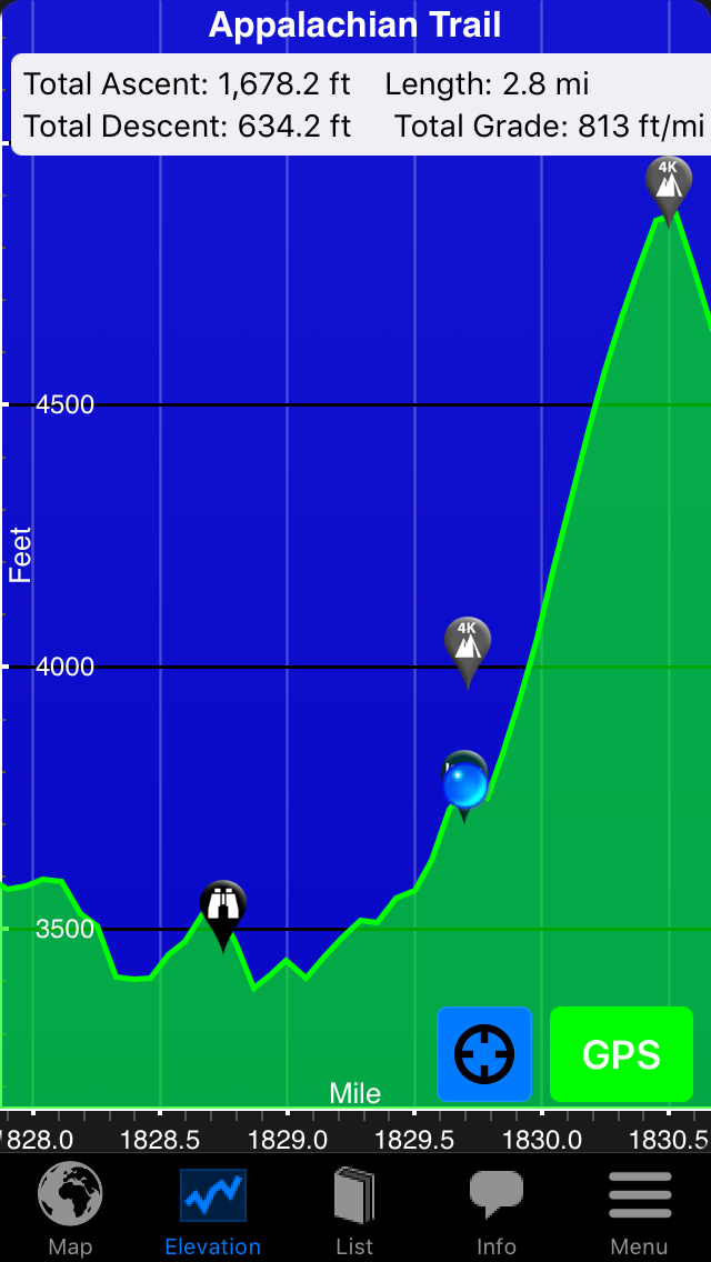
 Typical White Mountain Trail: Edmund’s PathOn top of the roughness of the trails, the ascents in the high peaks are quite steep, rising over 1,000 feet per mile for miles at a time without switchbacks to provide physical or mental relief to weary hikers. The best thing to do under these circumstances is to keep your eyes down (looking up crushes all hope) and take small steps so not to exhaust your quadriceps muscles.
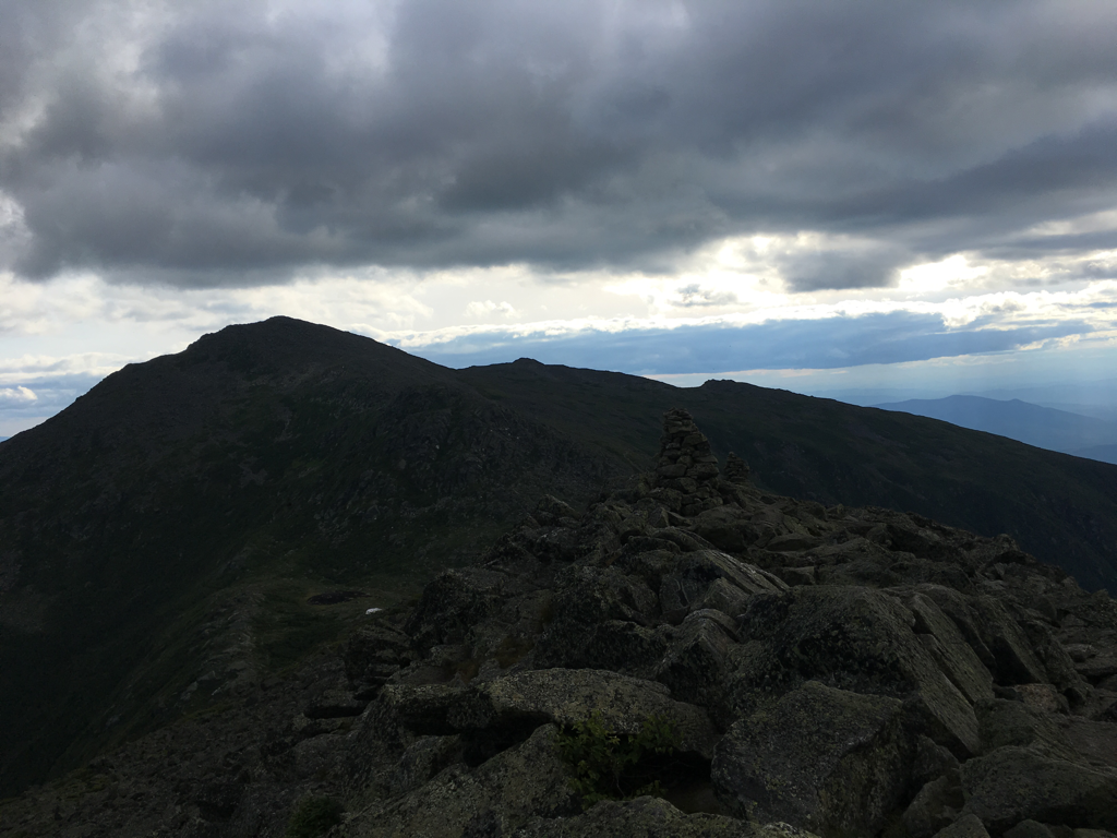
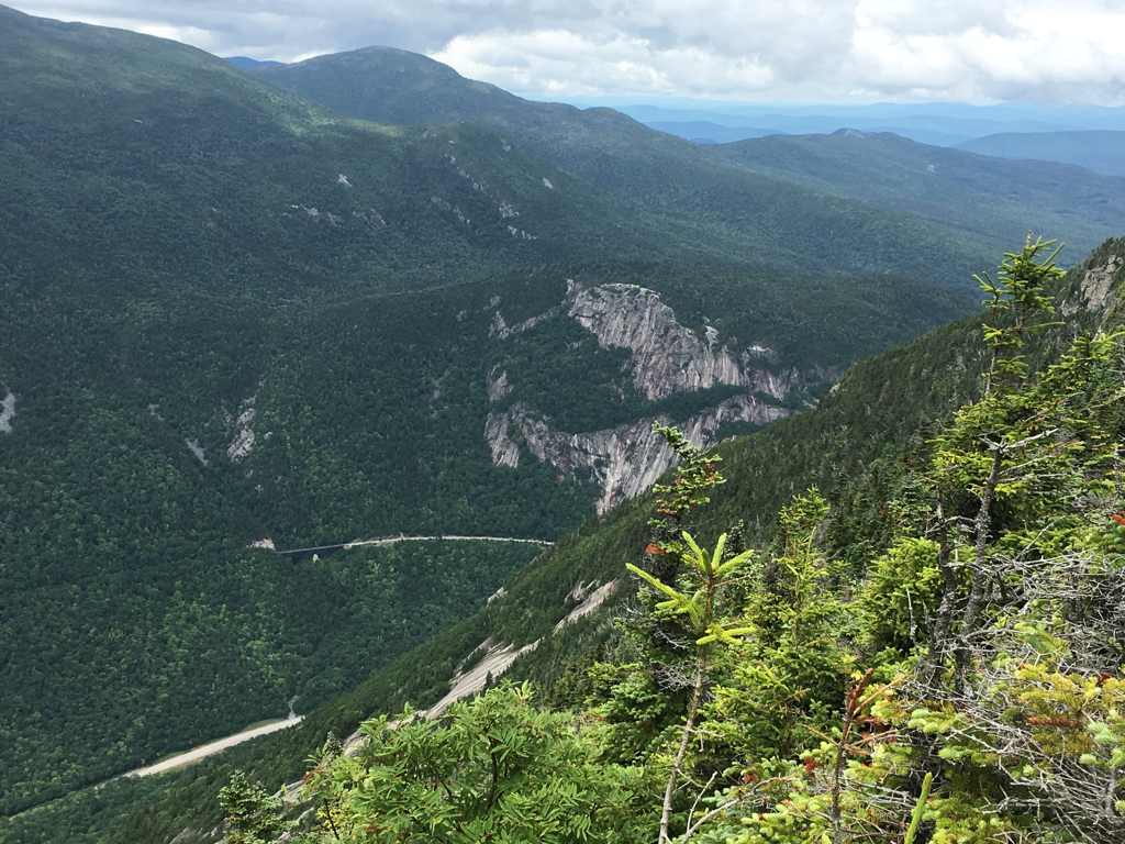
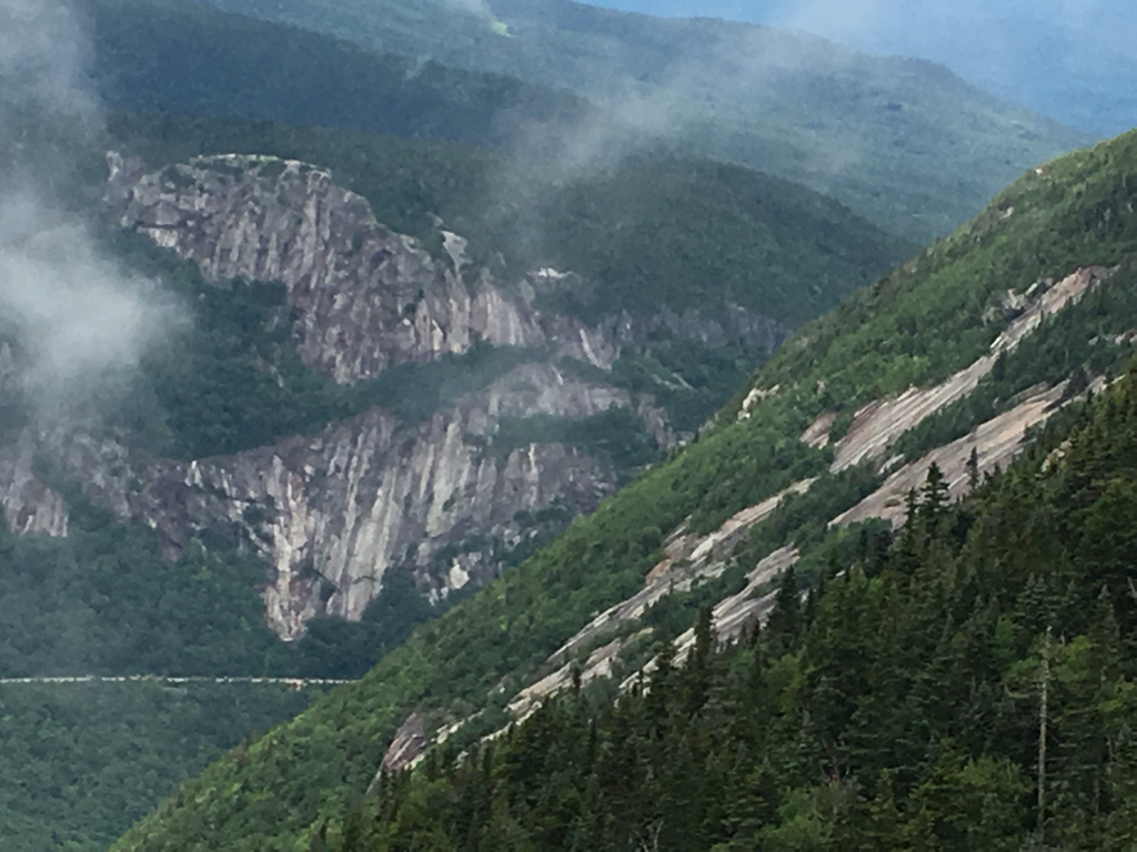
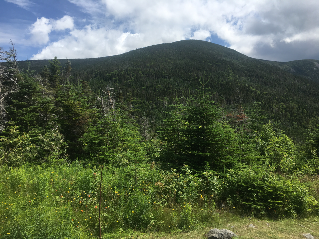
 Mt Lincoln and Franconia RidgeAbove treeline trails are also quite exposed to the elements. While these trails are magnificent to hike in fine weather, they can be quite dangerous if the wind or weather turns on you unexpectedly. In an emergency, particularly in winter, the best thing to do it to get below treeline: most people who get below treeline survive to hike another day. Remember, the summit is always optional.
RemotenessWhile there are sections of the White Mountains relatively close to major highways, a large portion is quite remote and seldom traveled. I’ve been on hikes in the north country where I haven’t seen people for days. If you decide to venture beyond the well-traveled trails, make sure you hike with others, you are fully equipped, and that you’ve done your trip planning homework. Help is often not readily available and you need to develop a certain level of self-sufficiency if you want to go off the beaten path.
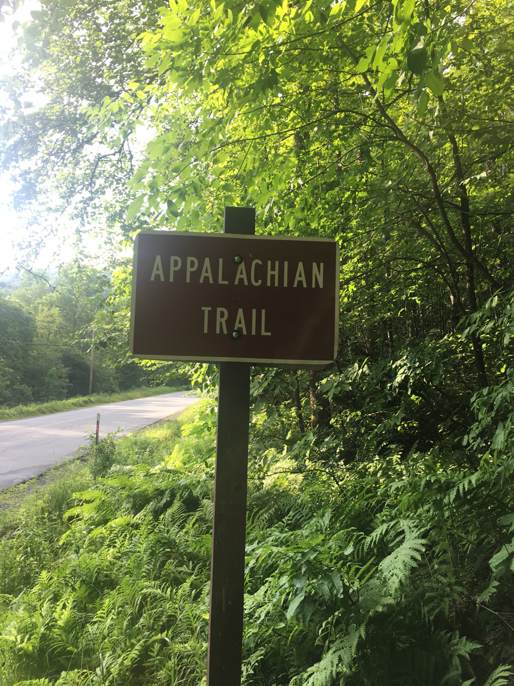
 The Appalachian TrailParting ThoughtsWhen I started hiking in the White Mountains, they honestly scared me. But there are plenty of opportunities to build your confidence and skill level gradually and safely. If you’re just getting started I recommend that he join a hiking group like the Appalachian Mountain Club or the Random Group of Hikers on Meetup.com. If you’re more experienced, I’d still recommend that you hike with others who are familiar with the territory before branching out on your own. While there are plenty of easy hikes in the Whites, things can go south amazingly quickly, unless you know the territory well and hike prepared.
The White Mountains are a great place to hike and once you get hooked….
Yesterday was an easy day, had a chance to see the northern lights last night so I stopped early so as to have a good place to view them... no sleep for this old man, sadly no northern lights either... not at my location, still enjoyed the night... still 2 days from the start of the Whites... also I am in New Hampshire, Maine is next, Baxter State park is getting closer...
Why are the White Mountains So Tough?Philip Werner White Mountains, White Mountains Hiking and Backpacking
Treeline Warning, White MountainsThe White Mountains in New Hampshire have a well-deserved reputation as a challenging place to hike. People are always a bit surprised by this because they’re not that high in elevation, only topping out at 6,288 feet on Mt Washington. Still, people come from around the the world to train for major international expeditions here because the Whites are so formidable, particularly in winter.What makes them so tough?
Wind and WeatherBad weather is certainly a major factor. For example, the average wind speed on top of Mt Washington is 35 miles per hour, the winds on Washington exceed tropical storm force (40 mph) 110 days a year, the summit is covered in cloud 55% of the year and snow falls every month of the year. These mountains deserve respect!
Weatherwise you simply don’t hike in the Whites without carefully assessing the weather beforehand, planning days in advance. When you do get out, you need to be very alert to changes in cloud cover, white outs, thunder and lightning, hail. In cool or wet weather, hypothermia and frostbite are very real risks because the mountain summits are usually 20 degrees cooler than the valleys and the wind accelerates evaporative and convective cooling.
Lenticular Clouds Warn of Pending Rain or HailAvalanche TerrainA lot of people think that avalanche activity in the White Mountains is limited to Tuckerman and Huntington Ravines. That’s just not true. Snow avalanches occur all over the White Mountains in the King, Castle, Burt, and Ammonoosuc Ravines, in Crawford Notch, Franconia Notch, Carter Notch, Eagle Pass, the Pemigewasset, along the Kancamagus Highway, in fact anywhere where there’s a slope angle between 38 and 45 degrees. While Tuckerman and Huntington Ravines are the only places with snow rangers forecast avalanche danger, they occur throughout the White Mountains. Your best defense is to take an avalanche awareness class or avoid avalanche terrain in winter.Cannon Mountain: Avalanche and Rockfall ZoneTrail ConditionsPeople new to the White Mountains are often surprised by how rugged the trails are. They’re often narrow, steep, and require good scrambling skills to ascend and descend. I know many experienced White Mountains hikers who will tell you that learning how to rock climb vastly improved their hiking footwork.Typical White Mountain Trail: Edmund’s PathOn top of the roughness of the trails, the ascents in the high peaks are quite steep, rising over 1,000 feet per mile for miles at a time without switchbacks to provide physical or mental relief to weary hikers. The best thing to do under these circumstances is to keep your eyes down (looking up crushes all hope) and take small steps so not to exhaust your quadriceps muscles.Mt Lincoln and Franconia RidgeAbove treeline trails are also quite exposed to the elements. While these trails are magnificent to hike in fine weather, they can be quite dangerous if the wind or weather turns on you unexpectedly. In an emergency, particularly in winter, the best thing to do it to get below treeline: most people who get below treeline survive to hike another day. Remember, the summit is always optional.RemotenessWhile there are sections of the White Mountains relatively close to major highways, a large portion is quite remote and seldom traveled. I’ve been on hikes in the north country where I haven’t seen people for days. If you decide to venture beyond the well-traveled trails, make sure you hike with others, you are fully equipped, and that you’ve done your trip planning homework. Help is often not readily available and you need to develop a certain level of self-sufficiency if you want to go off the beaten path.
The Appalachian TrailParting ThoughtsWhen I started hiking in the White Mountains, they honestly scared me. But there are plenty of opportunities to build your confidence and skill level gradually and safely. If you’re just getting started I recommend that he join a hiking group like the Appalachian Mountain Club or the Random Group of Hikers on Meetup.com. If you’re more experienced, I’d still recommend that you hike with others who are familiar with the territory before branching out on your own. While there are plenty of easy hikes in the Whites, things can go south amazingly quickly, unless you know the territory well and hike prepared.The White Mountains are a great place to hike and once you get hooked….
